geo.wikisort.org - River
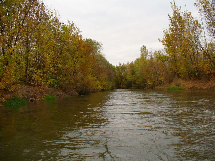
The Mius (Ukrainian: Міус, Russian: Миус) is a river in Eastern Europe that flows through Ukraine and Russia. It is 258 kilometres (160 mi) long, and has a drainage basin of 6,680 square kilometres (2,580 sq mi).[1]
This article needs additional citations for verification. (May 2020) |
| Mius Міус, Миус | |
|---|---|
 | |
| Location | |
| Country | Ukraine, Russia |
| Physical characteristics | |
| Source | |
| • location | Donetsk Oblast, Ukraine |
| • coordinates | 48°16′44″N 38°32′16″E |
| Mouth | Sea of Azov |
• location | near Taganrog |
• coordinates | 47.2771°N 38.8093°E |
| Length | 258 km (160 mi) |
| Basin size | 6,680 km2 (2,580 sq mi) |
| Basin features | |
| Tributaries | |
| • right | Krynka |
Course
The headwaters of the Mius are in the Donets Mountains, a mountain range within Donetsk Oblast. It flows through Donetsk Oblast and Luhansk Oblast in eastern Ukraine; and then through Rostov Oblast in Russia; and into the Sea of Azov of the northeastern Mediterranean Sea basin.
The river mouth of the Mius is on the Taganrog Bay coast of the Sea of Azov, west of the Russian city of Taganrog.
History
In 1941, during the World War II, the German Nazi General Paul Ludwig Ewald von Kleist created a heavily fortified defensive line known as the Mius-Front along the Mius river. It was an arena of fierce battles during the Rostov Defensive Operation in the 1941−1943 Battle of Rostov campaigns. During the 1943 Donbas Strategic Offensive Soviet troops finally broke through the Mius-Front near the village of Kuybyshevo.
See also
- Drainage basins of the Sea of Azov
References
- Миус, Great Soviet Encyclopedia
| Black Sea | |
|---|---|
| Bug | |
| Danube | |
| Dnieper (Rapids) | |
| Dniester | |
| Don | |
| Prypiat | |
| San | |
| Sea of Azov | |
| Southern Bug | |
| Syvash |
|
Authority control | |
|---|---|
| General |
|
| National libraries | |
This Rostov Oblast location article is a stub. You can help Wikipedia by expanding it. |
This article about a location in Donetsk Oblast is a stub. You can help Wikipedia by expanding it. |
This article about a location in Luhansk Oblast is a stub. You can help Wikipedia by expanding it. |
This article related to a river in Russia is a stub. You can help Wikipedia by expanding it. |
На других языках
[de] Mius
Der Mius (ukrainisch Міус, russisch Миус) ist ein Fluss in der Ukraine und in Russland.- [en] Mius
[es] Río Miús
El río Miús (en ruso: Миу́с) es un río de Ucrania (óblast de Donetsk y óblast de Lugansk) y Rusia (óblast de Rostov), que desemboca formando el limán del Miús en el golfo de Taganrog del mar de Azov. Entre las localidades ucranianas de Miús y Kniaginivka, forma la frontera entre los dos óblasts ucranianos mencionados, y entre los dos países al sur de Chervona Zoriá.[it] Mius
Il Mius (in russo: Миус?, traslitterato: Mius, in ucraino: Міус?, traslitterato: Mius) è un fiume che scorre in Ucraina e Russia per una lunghezza di 258 km e sfocia nel Mar d'Azov, poco a ovest di Taganrog nel golfo omonimo.[ru] Миус
Миу́с — река, протекающая по территории Украины (Луганская и Донецкая области) и России (Куйбышевский, Матвеево-Курганский и Неклиновский районы Ростовской области) и впадающая в Миусский лиман Таганрогского залива (Азовское море).Другой контент может иметь иную лицензию. Перед использованием материалов сайта WikiSort.org внимательно изучите правила лицензирования конкретных элементов наполнения сайта.
WikiSort.org - проект по пересортировке и дополнению контента Википедии