geo.wikisort.org - Mountains
Signal de Botrange is the highest point in Wallonia and in Belgium, located in the High Fens (Hautes Fagnes in French, Hohes Venn in German, Hoge Venen in Dutch), at 694 metres (2,277 feet). It is the top of a broad plateau and a road crosses the summit, passing an adjacent café. It is also the highest point in the Ardennes and in the European part of the Benelux.
| Signal de Botrange | |
|---|---|
 The 6 m high tower at the Signal de Botrange | |
| Highest point | |
| Elevation | 694 m (2,277 ft)[1] |
| Prominence | 119 m |
| Listing | Country high point |
| Coordinates | 50°30′06″N 6°05′34″E[1] |
| Geography | |
 Signal de Botrange Location of Signal de Botrange in Belgium | |
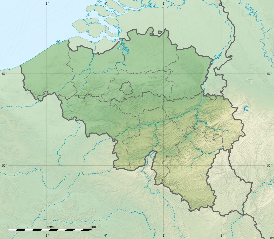
| Location | Liège Province, Wallonia, Belgium |
| Parent range | Hautes Fagnes |

For several decades a meteorological station was installed at signal de Botrange. Since 1999, it was replaced by an automatic station of the Royal Meteorological Institute of Belgium installed on Mount Rigi (scientific station of the High Fens - University of Liège), which is between the Signal and Baraque Michel which was formerly the highest point in Belgium prior to the annexation of the Eastern Cantons in 1919.
Signal de Botrange experiences stronger winds than the centre of Belgium. Average and extreme temperatures are usually lower than at any other place in Belgium: the minimum temperature recorded (−25.6 °C [−14.1 °F]) does not, however, exceed the absolute record (−30.1 °C [−22.2 °F]), observed in the valley of the Lomme, at Rochefort during a temperature inversion. In winter, for three months, on average, the average temperature remains below 0 °C (32 °F).
Rainfall is much greater than most of the rest of the country, at an annual average of 1,450 mm (57 in) compared with 800 mm (31 in) in Uccle: there are over 200 days of precipitation per year (against just over 170 in Uccle). Maximum temperatures in summer rarely exceed 30 °C (86 °F). The number of days of frost is over 130 days per year and the number of days of snowfall exceeds 35 days. The maximum thickness of snow was measured on 9 February 1953, at 115 cm (45 in) of snow. Frost and early snowfall can occur in late September, but that is exceptional. Late snow may sometimes occur until mid-May.[citation needed]
At the height of winter the site is used as the start of a number of cross-country skiing routes.[2]
Towers and Transmitters Botrange
In 1923, the 6-metre (20-foot) Baltia tower was built on the summit to allow visitors to reach an altitude of 700 m (2,300 ft). A stone tower built in 1933/34 by François Fagnoul from Ovifat on the Botrange crowned a steel weather vane with the relieved name SICCO CAMPO until World War II. Meanwhile, the spire serves as transmitter of Radio Contact and reaches a de facto height of 718 m (2,356 ft).
In November 2013, at the Signal de Botrange, a 50-metre-high (160-foot) tower with parabolic antennas was agreed to provide data interchange by Microwave transmission between London Stock Exchange and Frankfurt Stock Exchange, because the data transmission via Communications satellite or fibre optic involves a small delay, which interferes the stock exchange trading. The data transfer takes place in real time via the intermediate station Botrange, which was set up directly next to the existing tower.[3]
Hydrography
The summit of Belgium is home on its flanks to several sources of Ardennes rivers, all belonging to the Mosan basin, including the Helle, Roer and Schwarzbach to the north (but flowing here to the east), Bayehon to the south, and the Trôs Marets to the west.
As in the names of these rivers, although the Signal de Botrange is not a state border, it marks a language border in the area between the Romance languages (south and west) and Germanic languages (north and east)
References
- "Signal de Botrange" on Peakbagger.com Retrieved 29 September 2011
- Cross-country ski map of Botrange
- New Tower at Botrange
| Authority control |
|
|---|
На других языках
[de] Botrange
Die Botrange ([.mw-parser-output .IPA a{text-decoration:none}botˈʁɑ̃ʒ],[1] so auch der Name im 19. Jahrhundert im Deutschen Reich)[2] im Gemeindegebiet von Weismes in der ostbelgischen Provinz Lüttich, ist mit 694,24 m O.P. die höchste Erhebung Belgiens und liegt im Hohen Venn.- [en] Signal de Botrange
[es] Signal de Botrange
La Signal de Botrange es el punto más alto de Bélgica. Se encuentra situado en la zona llamada Hautes Fagnes del Macizo de las Ardenas en la Provincia de Lieja, exactamente a 694 metros sobre el nivel del mar.[fr] Signal de Botrange
Le signal de Botrange est, depuis 1919, le point culminant de la Belgique à une altitude de 694 mètres. Il se trouve sur le plateau des Hautes Fagnes, dans le massif ardennais, en province de Liège, dans la commune de Waimes (ancienne commune de Robertville). Sa situation lui vaut un rude climat, enregistré par une station météorologique.[it] Signal de Botrange
Signal de Botrange (in olandese Signaal van Botrange) è il punto più alto del Belgio ad un'altitudine di 694 metri s.l.m.[1][ru] Синьяль-де-Ботранж
Синьяль-де-Ботранж (фр. Signal de Botrange) — высочайшая точка Бельгии высотой 694 метра над уровнем моря, расположенная в природном заповеднике High Fens[en] в восточной части страны в провинции Льеж[1]. В 1923 году на вершине Синьяль-де-Ботранж была построена башня Балтия высотой 6 метров, а в 1934 году была построена коммуникационная вышка высотой 24 метра, которая позволила подниматься на высоту 718 метров над уровнем моря. Через вершину проходит трасса N676 Рю-де-Ботранж[2].Другой контент может иметь иную лицензию. Перед использованием материалов сайта WikiSort.org внимательно изучите правила лицензирования конкретных элементов наполнения сайта.
WikiSort.org - проект по пересортировке и дополнению контента Википедии