geo.wikisort.org - Mountains
Kneiff is a hill in the Ardennes, in the commune of Troisvierges, in northern Luxembourg, near the tripoint shared with Belgium and Germany. At 560 metres, it is the highest point in the country; it is 1 m taller than Buurgplaatz, which was previously considered the highest point until 1997.[1][2] It lies close to the town of Wilwerdange.
| Kneiff | |
|---|---|
 The summit of Kneiff | |
| Highest point | |
| Elevation | 560 m (1,840 ft) |
| Listing | Country high point |
| Coordinates | 50°9′27.7″N 6°2′13.8″E |
| Geography | |
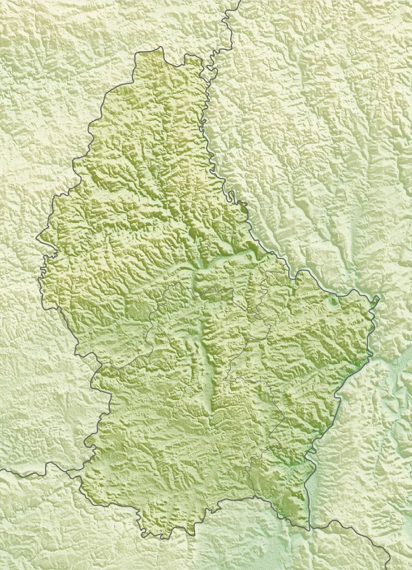 Kneiff Luxembourg | |
| Location | Troisvierges, Luxembourg |
| Geology | |
| Mountain type | Hill |
References
- "Le point culminant du Luxembourg".
- ACT (Administration du Cadastre et de la Topographie) Regional Map R1 Clervaux - Huldange 1:20000 (2003) shows 'Kneiff' at 560m and 'Buergplaz' at 559m.
This article related to the geography of Clervaux canton is a stub. You can help Wikipedia by expanding it. |
На других языках
[de] Kneiff
Der Hügel Kneiff stellt mit 560,08 m die höchste Erhebung von Luxemburg dar. Er liegt in der Gemeinde Ulflingen auf dem Gebiet der Ortschaft Wilwerdingen, im äußersten Norden des Großherzogtums nahe der Grenze zu Belgien und ist ein Teil der Ardennen, der Ösling genannt wird. Er ist Bestandteil des Naturparks Our.- [en] Kneiff
[es] Kneiff
Kneiff u Op Kneiff es una colina situada en el municipio de Ëlwen/ Troisvierges, en el norte de Luxemburgo. Con sus 560 metros, es el punto más alto en el país. Es 1 metro más alto que la colina cercana de Buurgplaatz,[1] que a menudo se considera, erróneamente, el punto más alto de Luxemburgo. Está cerca de la ciudad de Wilwerdange.[fr] Kneiff
Kneiff est un lieu-dit et une colline situés sur le territoire de la commune de Troisvierges au Luxembourg. Avec 560 mètres d'altitude elle est officiellement le point culminant du pays. Elle se situe sur le territoire du village de Wilwerdange, dans le parc naturel de l'Our, dans la région de l'Oesling, à environ 300 mètres de la frontière avec la Belgique.[ru] Кнайфф
Кнайфф (люксемб. Kneiff) — холм в коммуне Труавьерж, на севере Люксембурга. Имеет высоту 560 м. Кнайфф — самая высокая точка страны, это на 1 м выше чем Бургплац, который ошибочно считается высшей точкой Люксембурга. Расположен около города Вилверданг (англ.).Текст в блоке "Читать" взят с сайта "Википедия" и доступен по лицензии Creative Commons Attribution-ShareAlike; в отдельных случаях могут действовать дополнительные условия.
Другой контент может иметь иную лицензию. Перед использованием материалов сайта WikiSort.org внимательно изучите правила лицензирования конкретных элементов наполнения сайта.
Другой контент может иметь иную лицензию. Перед использованием материалов сайта WikiSort.org внимательно изучите правила лицензирования конкретных элементов наполнения сайта.
2019-2026
WikiSort.org - проект по пересортировке и дополнению контента Википедии
WikiSort.org - проект по пересортировке и дополнению контента Википедии