geo.wikisort.org - Mountains
Mount Sill is one of the fourteeners of the Sierra Nevada in California. It is located in the Palisades, a group of prominent rock peaks with a few small glaciers on their flanks. Mount Sill is located 0.6 miles (1 km) east of North Palisade, the high point of the group. The two peaks are connected by a high, rocky ridge, on the north side of which lies the Palisade Glacier. Mount Sill lies on the main Sierra Crest, but is at a point where the crest turns sharply, giving it particularly striking summit views. On one side is Kings Canyon National Park and Fresno County; on the other is the John Muir Wilderness, Inyo National Forest and Inyo County.
| Mount Sill | |
|---|---|
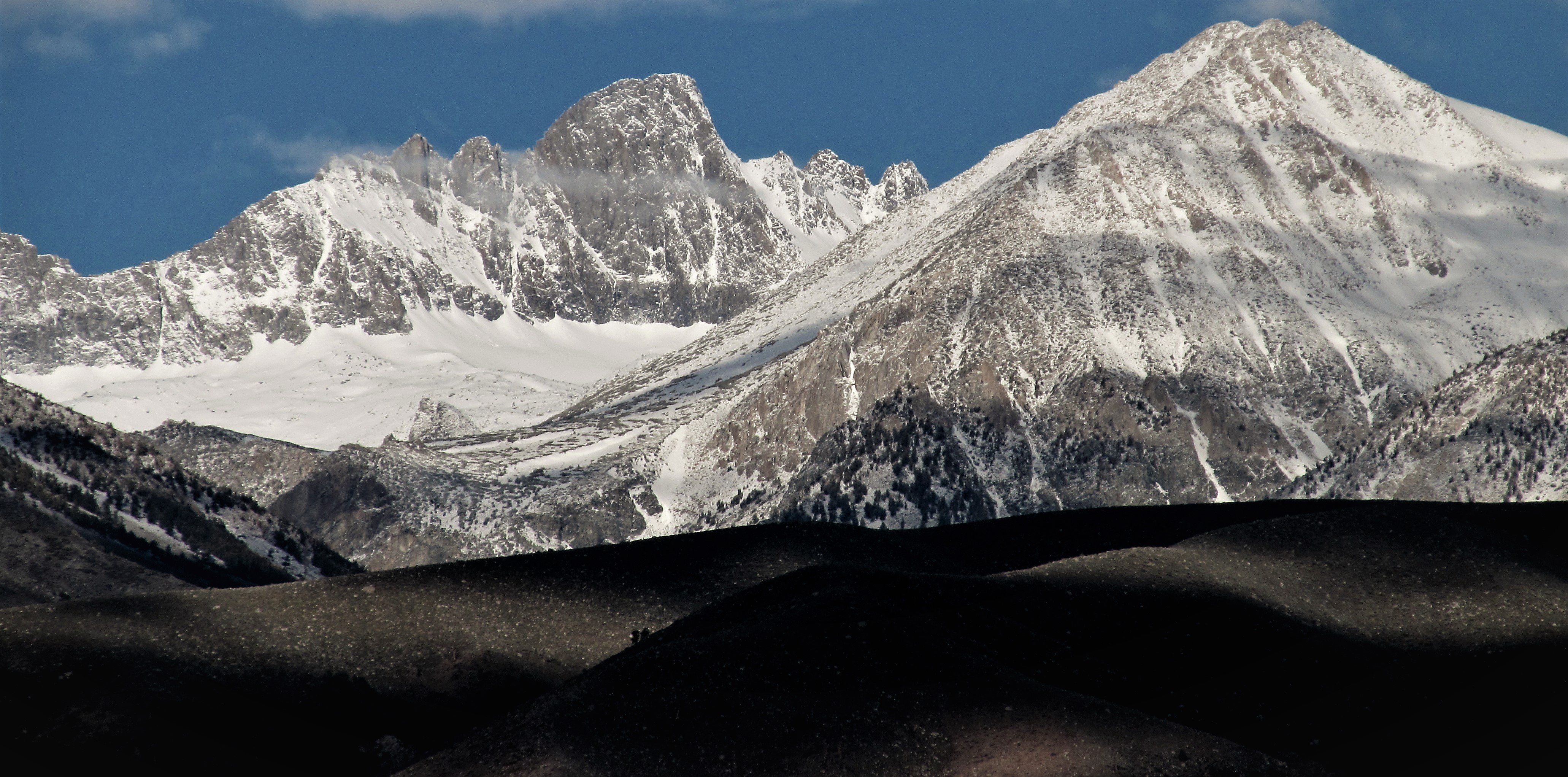
 Climbers on the snow field below Mount Sill, July 2006. | |
| Highest point | |
| Elevation | 14,159 ft (4,316 m) NAVD 88[1] |
| Prominence | 353 ft (108 m)[1] |
| Parent peak | North Palisade[2] |
| Listing | |
| Coordinates | 37°05′46″N 118°30′13″W[6] |
| Geography | |
 Mount Sill California | |
| Location | Fresno and Inyo counties, California, U.S. |
| Parent range | Sierra Nevada |
| Topo map | USGS North Palisade |
| Climbing | |
| First ascent | July 24, 1903 by James S. Hutchinson, Joseph N. LeConte, James Moffitt, Robert Pike[7] |
| Easiest route | Glacier climb & rock scramble |
Routes on Mount Sill are found on all sides of the peak and range in difficulty from scrambles (class 2-3) to a moderately technical rock climbs (class 5.7).[8]
The mountain is called Nen-i-mish ("the Guardian of the Valley") by the indigenous Northern Paiute people.[6][8] Its English name was coined, in 1904, by Joseph LeConte, a noted mountaineer, in honor of American poet Edward Rowland Sill.[9]
See also
- List of California fourteeners
- The Palisades of the Sierra Nevada
- Mount Gayley
References
- "Mount Sill, California". Peakbagger.com. Retrieved 2009-02-09.
- "Key Col for Mount Sill". Peakbagger.com. Retrieved 2016-03-23.
- "California 14,000-foot Peaks". Peakbagger.com. Retrieved 2016-03-23.
- "Sierra Peaks Section List" (PDF). Angeles Chapter, Sierra Club. Retrieved 2009-02-09.
- "Western States Climbers Qualifying Peak List". Climber.org. Retrieved 2016-03-24.
- "Mount Sill". Geographic Names Information System. United States Geological Survey, United States Department of the Interior. Retrieved 2009-02-09.
- Roper, Steve (1976). The Climber's Guide to the High Sierra. San Francisco: Sierra Club Books. p. 349. ISBN 978-0871561473.
- Secor, R.J. (2009). The High Sierra Peaks, Passes, and Trails (3rd ed.). Seattle: The Mountaineers. ISBN 978-0898869712.
- Farquhar, Francis P. (1926). Place Names of the High Sierra. San Francisco: Sierra Club. Retrieved 2009-02-09.
External links
- "Mount Sill". SummitPost.org.
 Media related to Mount Sill at Wikimedia Commons
State of California | |
|---|---|
Sacramento (capital) | |
| Topics |
|
| Regions |
|
| Metro regions |
|
| Counties |
|
| Most populous cities | |
| Mountains |
| |||||||||||
|---|---|---|---|---|---|---|---|---|---|---|---|---|
| Passes |
| |||||||||||
| Rivers | ||||||||||||
| Lakes | ||||||||||||
| Protected areas |
| |||||||||||
| Communities | ||||||||||||
| Ski areas |
| |||||||||||
| Trails |
| |||||||||||

This Inyo County, California-related article is a stub. You can help Wikipedia by expanding it. |
This Fresno County, California-related article is a stub. You can help Wikipedia by expanding it. |
На других языках
- [en] Mount Sill
[fr] Mont Sill
Le mont Sill est un sommet culminant à 4 314 mètres d'altitude dans le centre de la Californie, à l'Ouest des États-Unis. Il fait partie de la Sierra Nevada. Il est constitué de granite. Gravie pour la première fois en 1903 par James S. Hutchinson, Joseph N. LeConte, James K. Moffitt et Robert Pike, c'est une montagne relativement facile d'accès prisée des randonneurs et grimpeurs. Elle est protégée par la réserve intégrale John Muir et la forêt nationale d'Inyo au nord, tandis qu'elle est incluse dans le parc national de Kings Canyon au sud.[ru] Силл (гора)
Силл (англ. Mount Sill) — горная вершина в системе Сьерра-Невада в Калифорнии, США, на территории национального парка Кингз-Каньон.Другой контент может иметь иную лицензию. Перед использованием материалов сайта WikiSort.org внимательно изучите правила лицензирования конкретных элементов наполнения сайта.
WikiSort.org - проект по пересортировке и дополнению контента Википедии