geo.wikisort.org - River
The Amsterdam–Rhine Canal (Dutch: Amsterdam-Rijnkanaal) is a canal in the Netherlands that was built to connect the port and capital city of Amsterdam to the main shipping artery of the Rhine. Its course follows a generally southeasterly direction as it goes through the city of Utrecht towards Wijk bij Duurstede where it intersects the Lek branch of the Rhine and then continues on to the river Waal near Tiel, with a branch, the Lek Canal, to the Lek near Nieuwegein.[1][2]
| Amsterdam–Rhine Canal | |
|---|---|
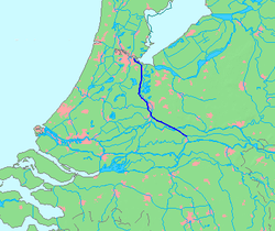 Map of the Amsterdam–Rhine Canal | |
| Specifications | |
| Length | 72 km (45 mi) |
| History | |
| Date completed | 1952 |
| Geography | |
| Start point | Amsterdam, Netherlands |
| End point | Waal river near Tiel, Netherlands |
Bridges
Wikimedia Commons has media related to Amsterdam-Rhine Canal.
Rail bridges (with nearest train station on the west and east bank):
- between Diemen/Diemen-Zuid and Weesp
- Demkaspoorbrug, between Maarssen and Utrecht Centraal
- Vleutensespoorbrug, between Utrecht Leidsche Rijn and Utrecht Centraal
- between Culemborg and Houten
- between Tiel and Kesteren
 Utrecht, the Demkaspoorbrug across the canal
 Utrecht, the Meernbrug across the canal
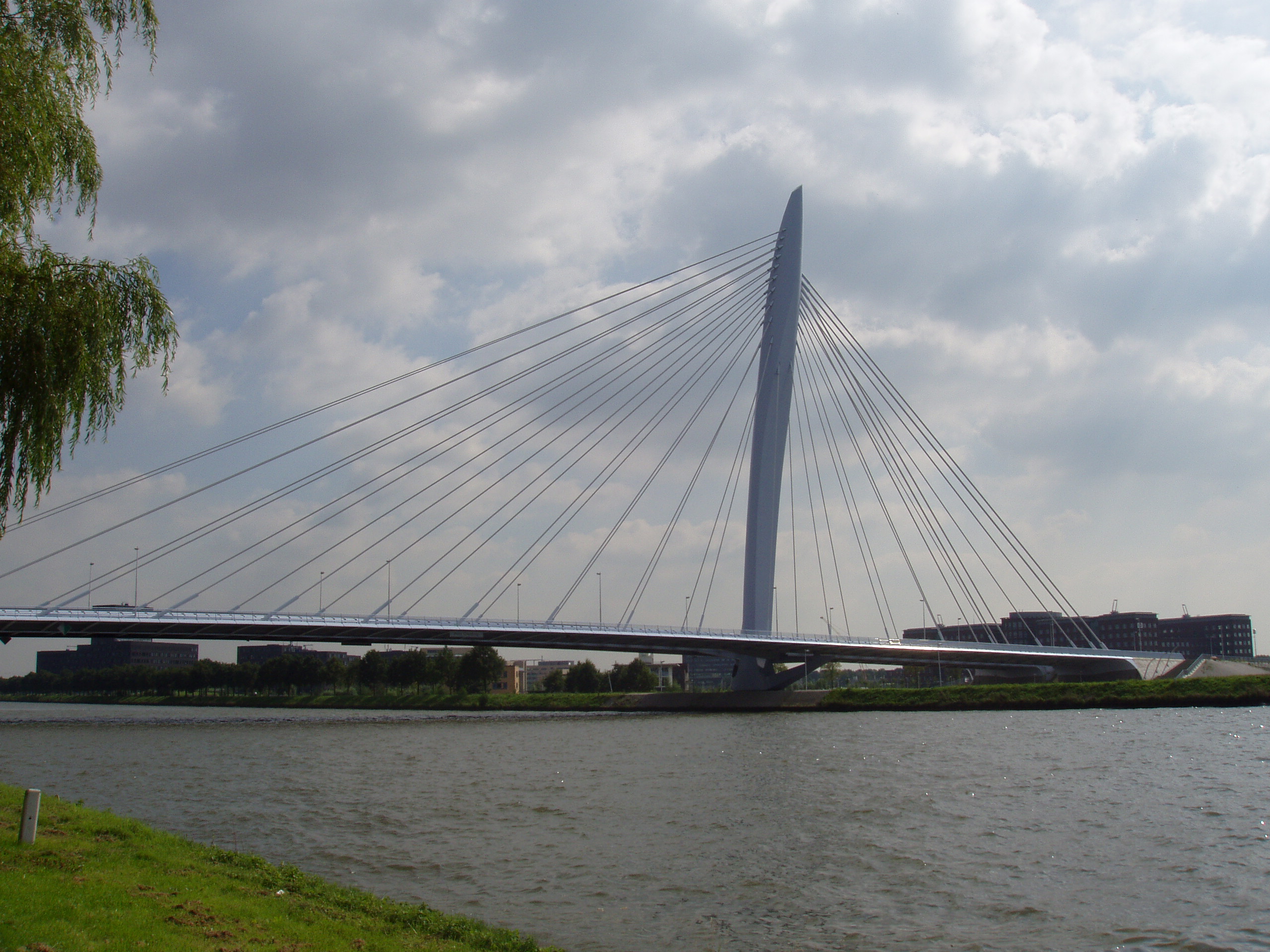
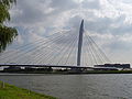 Utrecht, the Prins Clausbrug across the canal
 The canal near Rijswijk, Gelderland
 The canal near Tiel


References
- "Amsterdam-Rhine Canal". Encyclopedia Britannica. Retrieved 2022-08-30.
- "Amsterdam-Rijnkanaal". Directorate-General for Public Works and Water Management (Rijkswaterstaat) (in Dutch). Retrieved 2022-08-30.
На других языках
[de] Amsterdam-Rhein-Kanal
Der Amsterdam-Rhein-Kanal (niederländisch Amsterdam-Rijnkanaal) wurde am 21. Mai 1952 eröffnet. Er ist eine künstliche Wasserstraße, angelegt als Verbindung zwischen der Waal, dem größten Rheinarm im Rhein-Maas-Delta, und dem Hafen von Amsterdam. Der zweite große Rheinarm, der Nederrijn/Lek, wird von ihm gekreuzt. Auf halbem Weg ab Amsterdam passiert er Utrecht. Die Waal wird bei Tiel erreicht. Er verbindet die Rheinschifffahrt mit dem zweitgrößten Seehafen der Niederlande. Die Wasserstraße ist die kürzeste Schifffahrtsverbindung zwischen der niederländischen Hauptstadt und dem Ruhrgebiet. Der Amsterdam-Rhein-Kanal hat eine Länge von 72 km und hat drei Schleusen. Wegen der geringen Durchfahrtshöhe seiner Brücken von 9,05 m hat er für Seeschiffe nur eine marginale Bedeutung. Unter dem Aspekt der Binnenschifffahrt zählt der Amsterdam-Rhein-Kanal zu den meistbefahrenen Kanälen der Welt.[1]- [en] Amsterdam–Rhine Canal
[it] Canale Amsterdam-Reno
Il canale Amsterdam-Reno (in olandese: Amsterdam-Rijnkanaal) è un canale artificiale dei Paesi Bassi tra l'IJ presso Amsterdam e il Waal presso Tiel. Fa parte della rete di vie d'acqua che collegano il porto di Amsterdam con la regione della Ruhr in Germania. Il canale è lungo 72 chilometri, largo da 100 a 120 metri e profondo da 6 a 9 metri. Con circa 100.000 imbarcazioni all'anno è il canale più navigato del mondo.[ru] Амстердам-Рейн-канал
Амстердам-Рейн-канал[1] (нидерл. Amsterdam-Rijnkanaal) — канал в Нидерландах, связывающий Амстердам с основным судоходным путём Рейна. Канал является важной судоходной артерией между портом Амстердама и Рурской областью в Германии, а также используется для снабжения западной части страны водными ресурсами.Текст в блоке "Читать" взят с сайта "Википедия" и доступен по лицензии Creative Commons Attribution-ShareAlike; в отдельных случаях могут действовать дополнительные условия.
Другой контент может иметь иную лицензию. Перед использованием материалов сайта WikiSort.org внимательно изучите правила лицензирования конкретных элементов наполнения сайта.
Другой контент может иметь иную лицензию. Перед использованием материалов сайта WikiSort.org внимательно изучите правила лицензирования конкретных элементов наполнения сайта.
2019-2026
WikiSort.org - проект по пересортировке и дополнению контента Википедии
WikiSort.org - проект по пересортировке и дополнению контента Википедии