geo.wikisort.org - River
The Mark (Dutch pronunciation: [ˈmɑr(ə)k]) is a river in Belgium and the Netherlands.
This article does not cite any sources. (December 2009) |
| Mark river | |
|---|---|
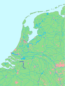 Location of the Mark river | |
| Location | |
| Country | Netherlands |
| Physical characteristics | |
| Mouth | |
• location | Dintel |
| Length | 80.6 km |
Characteristics
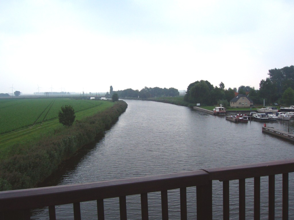
The Mark rises north of Turnhout, Belgium, in the municipality of Merksplas. It passes through Hoogstraten before crossing the border with the Netherlands. In the city centre of Breda it receives its main tributary Aa of Weerijs. Below Oudenbosch the Mark is known under the name Dintel. The Dintel flows into the Volkerak (part of the Rhine–Meuse–Scheldt delta) at Dintelsas. The Dintel and Mark are navigable for cargo ships up to 86 metres (282 ft) long from Dintelsas to Breda.
Tributaries
- Kleine Mark (English: Little Mark)
- Merkske
- Heerlese Loop
- Strijbeekse beek
- Chaamse Beek
- Molenlei
- Aa of Weerijs
- Watermolenbeek
This Antwerp Province location article is a stub. You can help Wikipedia by expanding it. |
This North Brabant location article is a stub. You can help Wikipedia by expanding it. |
На других языках
[de] Mark (Fluss)
Die Mark ist ein kleiner Fluss, der durch die niederländische Provinz Noord-Brabant fließt und unter der Bezeichnung Dintel südlich von Rotterdam in das Küstengewässer Volkerak mündet.- [en] Mark (Dintel)
Текст в блоке "Читать" взят с сайта "Википедия" и доступен по лицензии Creative Commons Attribution-ShareAlike; в отдельных случаях могут действовать дополнительные условия.
Другой контент может иметь иную лицензию. Перед использованием материалов сайта WikiSort.org внимательно изучите правила лицензирования конкретных элементов наполнения сайта.
Другой контент может иметь иную лицензию. Перед использованием материалов сайта WikiSort.org внимательно изучите правила лицензирования конкретных элементов наполнения сайта.
2019-2026
WikiSort.org - проект по пересортировке и дополнению контента Википедии
WikiSort.org - проект по пересортировке и дополнению контента Википедии