geo.wikisort.org - Mountains
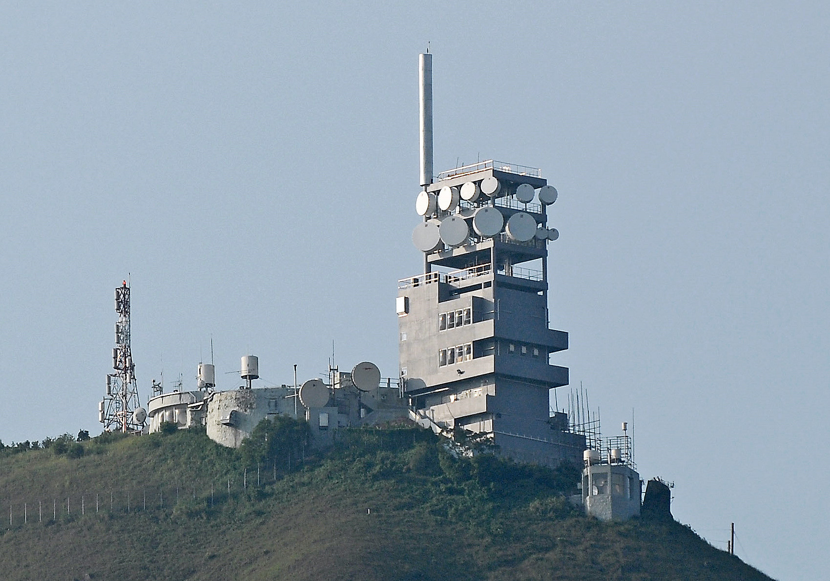
Temple Hill, also known as Tsz Wan Shan (Chinese: 慈雲山), is a hill between New Kowloon and the New Territories, Hong Kong.[1][2] It peaks at 488 m. Beneath its south side is the residential area of Tsz Wan Shan and Buddhist temples. Sha Tin Pass runs between the hill and Unicorn Ridge. The summit of the hill is located within Sha Tin District.
| Temple Hill | |
|---|---|
| 慈雲山 | |
 View of Temple Hill | |
| Highest point | |
| Elevation | 488 m (1,601 ft) |
| Coordinates | 22.356094°N 114.206572°E |
| Geography | |
 Temple Hill Location of Temple Hill in Hong Kong | |
| Location | |
References
- "Hong Kong Fun in 18 Districts - Welcome to 18 Districts". www.gohk.gov.hk. Retrieved 2020-04-05.
- "Temple Hill‧Oasistrek". www.oasistrek.com. Retrieved 2020-04-05.
See also
Wikimedia Commons has media related to Temple Hill.
- List of mountains, peaks and hills in Hong Kong
- Eight Mountains of Kowloon
| 900 meters or more | |
|---|---|
| 800 to 899 meters | |
| 700 to 799 meters | |
| 600 to 699 meters |
|
| 500 to 599 meters |
|
| 400 to 499 meters (excerpt) |
|
| 300 to 399 meters (excerpt) |
|
| 200 to 299 meters (excerpt) |
|
| 100 to 199 meters (excerpt) |
|
| 99 meters or less (excerpt) |
|
| Collectively |
|
This New Kowloon location article is a stub. You can help Wikipedia by expanding it. |
This article related to a mountain or hill in Hong Kong is a stub. You can help Wikipedia by expanding it. |
На других языках
- [en] Temple Hill (Hong Kong)
[fr] Temple Hill (Hong Kong)
Temple Hill, également connue sous le nom de Tsz Wan Shan (慈雲山), est une colline de Hong Kong dont le sommet culmine à une altitude de 488 mètres, entre les régions de New Kowloon et des Nouveaux Territoires. Le versant sud fait face au quartier résidentiel de Tsz Wan Shan et à des temples bouddhistes, alors que son versant nord donne sur des villages situés sur les Nouveaux Territoires. Le col de Sha Tin se trouve entre Temple Hill et l'Unicorn Ridge.Текст в блоке "Читать" взят с сайта "Википедия" и доступен по лицензии Creative Commons Attribution-ShareAlike; в отдельных случаях могут действовать дополнительные условия.
Другой контент может иметь иную лицензию. Перед использованием материалов сайта WikiSort.org внимательно изучите правила лицензирования конкретных элементов наполнения сайта.
Другой контент может иметь иную лицензию. Перед использованием материалов сайта WikiSort.org внимательно изучите правила лицензирования конкретных элементов наполнения сайта.
2019-2025
WikiSort.org - проект по пересортировке и дополнению контента Википедии
WikiSort.org - проект по пересортировке и дополнению контента Википедии