geo.wikisort.org - Mountains
Keung Shan (Chinese: 羗山, literally "Ginger Mountain") is a peak in Hong Kong, on southwestern Lantau Island, with a height of 459 metres (1,506 ft) above sea level.[1]
| Keung Shan | |
|---|---|
| 羗山 | |
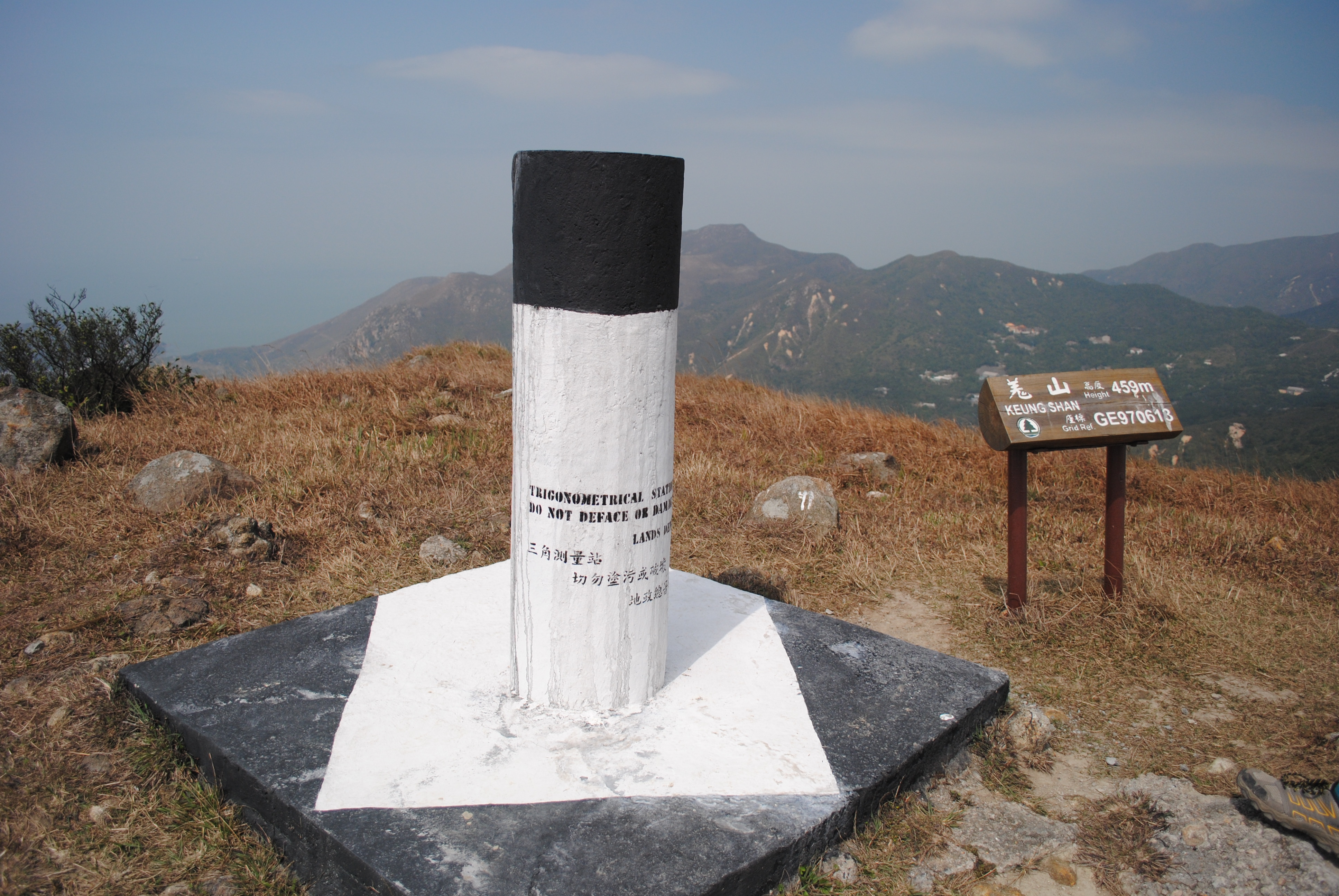 Summit of Keung Shan | |
| Highest point | |
| Elevation | 459 m (1,506 ft) |
| Coordinates | 22°13′55″N 113°52′53″E |
| Geography | |
 Keung Shan Location of Keung Shan in Hong Kong | |
| Location | Lantau Island, |
Geology
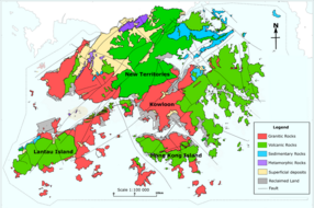
Keung Shan is formed by Volcanic rocks, including porphyritic rhyolites,[2] similar to nearby Lantau Peak and Sunset Peak.
Access
The Lantau Trail traverses the summit of this hill.[3]
References
- "Node: Keung Shan (1107726531)". OpenStreetMap. Retrieved 2020-06-24.
- "Lantau Volcanic Group (undifferentiated) - Jlu". www.cedd.gov.hk. Retrieved 2020-04-26.
- "Lantau South". www.afcd.gov.hk. Retrieved 2020-06-24.
See also
- List of mountains, peaks and hills in Hong Kong
| 900 meters or more | |
|---|---|
| 800 to 899 meters | |
| 700 to 799 meters | |
| 600 to 699 meters |
|
| 500 to 599 meters |
|
| 400 to 499 meters (excerpt) |
|
| 300 to 399 meters (excerpt) |
|
| 200 to 299 meters (excerpt) |
|
| 100 to 199 meters (excerpt) |
|
| 99 meters or less (excerpt) |
|
| Collectively |
|
This Hong Kong location article is a stub. You can help Wikipedia by expanding it. |
Текст в блоке "Читать" взят с сайта "Википедия" и доступен по лицензии Creative Commons Attribution-ShareAlike; в отдельных случаях могут действовать дополнительные условия.
Другой контент может иметь иную лицензию. Перед использованием материалов сайта WikiSort.org внимательно изучите правила лицензирования конкретных элементов наполнения сайта.
Другой контент может иметь иную лицензию. Перед использованием материалов сайта WikiSort.org внимательно изучите правила лицензирования конкретных элементов наполнения сайта.
2019-2026
WikiSort.org - проект по пересортировке и дополнению контента Википедии
WikiSort.org - проект по пересортировке и дополнению контента Википедии