geo.wikisort.org - Mountains
This is a list of mountains of Switzerland above 800 metres whose summits are accessible by public transport. This list includes mountains with a topographic prominence of at least 30 metres[1] that have a station above the height of their key col and within 120 metres (height difference) from the summit. The station can be reached by cable car, funicular, railway or bus. This list notably includes the Klein Matterhorn and the Säntis, respectively the highest[2] and the most prominent[3] peaks of Europe with public transport access. It also includes the Chasseral, the most isolated summit of the country accessible to pedestrians.
This list does not include ski lifts. For a list of ski areas, see List of ski areas and resorts in Switzerland. For a general list of mountains, see List of mountains of Switzerland.
List
| Mountain[4] | Elevation (m) | Prominence (m) | Station elevation (m) | Means of transport | Canton(s) | Coordinates |
|---|---|---|---|---|---|---|
| Klein Matterhorn | 3883 | 88 | 3860 | Cable car (and lift) | Valais | 45°56′18″N 07°43′47″E |
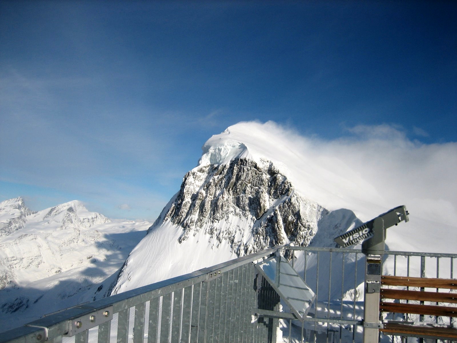
| Sphinx | 3572 | 82 | 3572 | Railway (and lift) | Bern/Valais | 46°32′51″N 07°59′08″E |
| Testa Grigia[5] | 3479 | 34 | 3479 | Cable car | Valais | 45°56′07″N 07°42′27″E |
| Mont Fort | 3329 | 408 | 3308 | Cable car | Valais | 46°04′49″N 07°19′08″E |
| Unnamed summit on Piz Corvatsch | 3303 | 48 | 3298 | Cable car | Graubünden | 46°25′03″N 09°49′14″E |
| Hohtälli | 3275 | 50 | 3275 | Cable car | Valais | 45°59′20″N 07°48′08″E |
| Gornergrat | 3135 | 50 | 3120 | Railway (and lift) | Valais | 45°59′00″N 07°47′05″E |
| Unterrothorn | 3104 | 123 | 3104 | Cable car | Valais | 46°01′19″N 07°47′51″E |
| Klein Titlis | 3062 | 45 | 3032 | Cable car | Bern/Obwalden | 46°46′13″N 08°25′31″E |
| Piz Nair | 3056 | 183 | 3022 | Cable car | Graubünden | 46°30′23″N 09°47′15″E |
| Mont Gelé | 3023 | 219 | 3002 | Cable car | Valais | 46°05′49″N 07°16′45″E |
| Diavolezza | 2973 | 0 | 2973 | Cable car | Graubünden | 46°24′44″N 09°57′53″E |
| Scex Rouge | 2971 | 131 | 2940 | Cable car | Vaud | 46°19′38″N 07°12′09″E |
| Schilthorn | 2970 | 358 | 2970 | Cable car | Bern | 46°33′26″N 07°50′07″E |
| Gemsstock | 2961 | 86 | 2961 | Cable car | Uri | 46°36′08″N 08°36′41″E |
| Piz Lagalb | 2959 | 524 | 2893 | Cable car | Graubünden | 46°25′54″N 10°01′25″E |
| Pointe de la Plaine Morte | 2927 | 87 | 2882 | Cable car | Bern/Valais | 46°22′15″N 07°29′13″E |
| Parpaner Rothorn | 2899 | 77 | 2861 | Cable car | Graubünden | 46°44′35″N 09°36′13″E |
| Laaxer Stöckli | 2898 | 271 | 2806 | Chair lift | Graubünden | 46°52′59″N 09°12′15″E |
| Corne de Sorebois | 2896 | 82 | 2870 | Chair lift | Valais | 46°09′03″N 07°35′12″E |
| Fiescherhorli | 2893 | 38 | 2869 | Cable car | Valais | 46°25′35″N 08°05′34″E |
| Greitspitz | 2867 | 138 | 2867 | Chair lift | Graubünden | 46°58′13″N 10°20′03″E |
| Weissfluh | 2843 | 497 | 2820 | Cable car | Graubünden | 46°50′07″N 09°47′39″E |
| Fil de Cassons | 2695 | 194 | 2634 | Cable car | Graubünden | 46°52′43″N 09°16′46″E |
| Weissfluhjoch | 2693 | 64 | 2680 | Funicular | Graubünden | 46°50′00″N 09°48′23″E |
| Birg | 2684 | 86 | 2684 | Cable car | Bern | 46°33′42″N 07°51′21″E |
| Piz Martegnas | 2681 | 89 | 2670 | Chair lift | Graubünden | 46°34′37″N 09°31′40″E |
| Aroser Weisshorn | 2653 | 286 | 2653 | Cable car | Graubünden | 46°47′22″N 09°38′19″E |
| Jakobshorn | 2590 | 40 | 2565 | Cable car | Graubünden | 46°46′21″N 09°50′57″E |
| Bella Lui | 2548 | 50 | 2520 | Cable car | Valais | 46°20′57″N 07°29′18″E |
| Tête aux Chamois | 2525 | 40 | 2525 | Cable car | Vaud | 46°20′23″N 07°12′53″E |
| Säntis | 2502 | 2021 | 2502 | Cable car | Appenzell A./Appenzell I./St. Gallen | 47°14′58″N 09°20′35″E |
| Unnamed summit on Crap Masegn | 2472 | 60 | 2472 | Cable car | Graubünden | 46°50′33″N 09°10′48″E |
| Lauberhorn | 2472 | 122 | 2394 | Chair lift | Bern | 46°35′33″N 07°56′52″E |
| Savoleyres | 2372 | 57 | 2354 | Gondola lift | Valais | 46°07′20″N 07°12′43″E |
| Niesen | 2362 | 407 | 2362 | Funicular | Bern | 46°38′46″N 07°39′09″E |
| Brienzer Rothorn | 2350 | 1342 | 2290 | Cable car[6] | Bern/Lucerne/Obwalden | 46°47′13″N 08°02′49″E |
| Männlichen | 2343 | 141 | 2229 | Cable car | Bern | 46°37′05″N 07°56′17″E |
| Moosfluh | 2334 | 48 | 2334 | Gondola lift | Valais | 46°23′45″N 08°02′54″E |
| Crêt du Midi | 2332 | 33 | 2332 | Gondola lift | Valais | 46°13′47″N 07°31′45″E |
| Piz Scalottas | 2323 | 132 | 2323 | Chair lift | Graubünden | 46°43′19″N 09°30′39″E |
| Piz Sezner | 2310 | 236 | 2269 | Chair lift | Graubünden | 46°42′28″N 09°06′20″E |
| Calmut | 2309 | 160 | 2300 | Chair lift | Graubünden | 46°39′33″N 08°41′03″E |
| Hinterrugg | 2306 | 470 | 2262 | Cable car | St. Gallen | 47°09′13″N 09°18′19″E |
| Pointe des Mossettes | 2277 | 193 | 2250 | Chair lift | Valais | 46°11′26″N 06°48′58″E |
| Balmeregghorn | 2255 | 45 | 2230 | Chair lift | Bern/Obwalden | 46°45′11″N 08°17′00″E |
| Planplatten | 2245 | 56 | 2233 | Gondola lift | Bern | 46°44′13″N 08°15′21″E |
| Leist | 2222 | 77 | 2222 | Chair lift | St. Gallen | 47°03′54″N 09°14′01″E |
| Regenboldshorn | 2193 | 100 | 2137 | Chair lift | Bern | 46°26′32″N 07°30′17″E |
| Stockhorn | 2190 | 399 | 2150 | Cable car | Bern | 46°41′38″N 07°32′15″E |
| Furggabüel | 2174 | 59 | 2174 | Chair lift | Graubünden | 46°48′16″N 09°29′43″E |
| Stein | 2172 | 90 | 2150 | Chair lift | Graubünden | 46°43′33″N 09°07′37″E |
| Pointe de l'Au | 2152 | 202 | 2140 | Chair lift | Valais | 46°12′00″N 06°50′28″E |
| Pilatus | 2128 | 585 | 2070 | Railway, Cable car | Nidwalden/Obwalden | 46°58′26″N 08°14′28″E |
| Le Chamossaire | 2112 | 377 | 2100 | Chair lift | Vaud | 46°19′37″N 07°03′40″E |
| Rinderberg | 2079 | 371 | 2004 | Gondola lift | Bern | 46°30′20″N 07°21′25″E |
| Ziger | 2074 | 77 | 2019 | Chair lift | St. Gallen | 47°04′05″N 09°14′58″E |
| Geiss[7] | 2067 | 133 | 1967 | Railway | Bern | 46°39′11″N 07°54′34″E |
| Piz Mundaun | 2064 | 83 | 2053 | Chair lift | Graubünden | 46°44′34″N 09°09′37″E |
| Berneuse | 2045 | 140 | 2045 | Gondola lift | Vaud | 46°21′35″N 07°00′07″E |
| Rochers de Naye | 2042 | 590 | 1968 | Railway | Vaud | 46°25′55″N 06°58′34″E |
| Chaux Ronde | 2028 | 223 | 1987 | Chair lift | Vaud | 46°19′23″N 07°05′33″E |
| Moléson | 2002 | 512 | 1970 | Cable car | Fribourg | 46°32′56″N 07°01′02″E |
| Tour de Don | 1998 | 263 | 1892 | Chair lift | Valais | 46°17′22″N 06°51′44″E |
| Sillerenbühl | 1973 | 38 | 1973 | Gondola lift | Bern | 46°28′20″N 07°31′07″E |
| Croix de Culet | 1963 | 155 | 1940 | Cable car | Valais | 46°10′32″N 06°50′43″E |
| Niederhorn | 1963 | 45 | 1934 | Cable car | Bern | 46°42′39″N 07°46′24″E |
| Höhi Wispile | 1939 | 280 | 1907 | Gondola lift | Bern | 46°26′08″N 07°17′35″E |
| Klingenstock | 1935 | 448 | 1925 | Chair lift | Schwyz | 46°57′27″N 08°40′28″E |
| Allmendhubel | 1932 | 33 | 1910 | Funicular | Bern | 46°33′51″N 07°53′16″E |
| Fronalpstock | 1921 | 189 | 1904 | Chair lift | Schwyz | 46°58′06″N 08°38′14″E |
| Stanserhorn | 1898 | 500 | 1848 | Cable car | Nidwalden | 46°55′47″N 08°20′25″E |
| Hugeligrat | 1898 | 129 | 1831 | Gondola lift | Bern | 46°31′09″N 07°15′56″E |
| Rigi | 1798 | 1290 | 1752 | Railway | Schwyz | 47°03′24″N 08°29′07″E |
| Hoher Kasten | 1791 | 251 | 1791 | Cable car | Appenzell I./St. Gallen | 47°17′01″N 09°29′07″E |
| Musenalper Grat | 1785 | 205 | 1747 | Cable car | Nidwalden | 46°55′51″N 08°26′30″E |
| Schwänzelegg | 1777 | 40 | 1777 | Gondola lift | Graubünden | 46°56′45″N 09°38′59″E |
| Spirstock | 1771 | 109 | 1760 | Chair lift | Schwyz | 47°00′04″N 08°46′19″E |
| Klewenstock | 1748 | 216 | 1720 | Chair lift | Nidwalden | 46°56′01″N 08°28′41″E |
| La Berra | 1719 | 308 | 1635 | Gondola lift | Fribourg | 46°40′34″N 07°11′02″E |
| Monte Generoso | 1701 | 1321 | 1601 | Railway | Ticino | 45°55′53″N 09°01′12″E |
| La Dôle | 1677 | 355 | 1670 | Chair lift | Vaud | 46°25′31″N 06°05′59″E |
| Eggli | 1672 | 82 | 1672 | Chair lift | Bern | 46°27′22″N 07°15′25″E |
| Cimetta | 1671 | 61 | 1647 | Chair lift | Ticino | 46°12′03″N 08°47′28″E |
| Kronberg | 1663 | 351 | 1650 | Cable car | Appenzell I. | 47°17′29″N 09°19′46″E |
| Scheidegg (Rigi) | 1658 | 110 | 1640 | Cable car | Schwyz | 47°01′39″N 08°31′11″E |
| Vounetz | 1625 | 44 | 1612 | Gondola lift | Fribourg | 46°37′34″N 07°12′28″E |
| Monte Lema | 1621 | 140 | 1550 | Cable car | Ticino | 46°02′26″N 08°49′58″E |
| Chasseral | 1606 | 666 | 1548 | Bus | Bern | 47°09′59″N 07°03′34″E |
| Rotenfluh | 1571 | 144 | 1571 | Gondola lift | Schwyz | 47°01′16″N 08°42′11″E |
| Marbachegg | 1484 | 181 | 1484 | Gondola lift | Lucerne | 46°50′06″N 07°54′19″E |
| Les Pléiades | 1397 | 242 | 1361 | Railway | Vaud | 46°29′23″N 06°54′47″E |
| Weissenstein | 1395 | 213 | 1280 | Gondola lift | Solothurn | 47°15′07″N 07°30′33″E |
| Mont Soleil | 1291 | 221 | 1180 | Funicular | Bern | 47°09′55″N 06°59′20″E |
| Bürgenstock | 1128 | 683 | 1115 | Lift | Lucerne/Nidwalden | 47°00′01″N 08°23′54″E |
| Montagne du Château | 929 | 249 | 858 | Bus | Vaud | 46°34′51″N 06°42′57″E |
| Monte Brè | 925 | 135 | 910 | Funicular | Ticino | 46°00′33″N 08°59′13″E |
| Monte San Salvatore | 912 | 602 | 882 | Funicular | Ticino | 45°58′38″N 08°56′51″E |
| Üetliberg | 870 | 143 | 813 | Railway | Zurich | 47°20′58″N 08°29′31″E |
| Gurten | 858 | 215 | 840 | Funicular | Bern | 46°55′02″N 07°26′37″E |
| Hill of Gruyères | 828 | 82 | 800 | Bus | Fribourg | 46°35′06″N 07°05′00″E |
| Chutzen | 820 | 261 | 762 | Bus | Bern | 47°00′53″N 07°19′26″E |
| Sonnenberg | 800 | 240 | 705 | Funicular | Lucerne | 47°02′24″N 08°15′02″E |
See also
- List of aerial tramways in Switzerland
- List of funiculars in Switzerland
- List of mountain railways in Switzerland
- List of highest paved roads in Switzerland
- List of buildings and structures in Switzerland above 3000 m
- Lists of tourist attractions in Switzerland
References
- Mountain locations such as Mittelallalin, Muottas Muragl or Schynige Platte are not included in the list.
- Lonely Planet. Central Europe (p. 549)
- Information retrieved on 5 March 2014 from Core Europe 50 Most Prominent Peaks (peakbagger.com) and European Russia and the Caucasian states (peaklist.org)
- All elevations and prominences are from the 1:25,000 Swisstopo topographic maps.
- Accessible to pedestrians from Italy. A connection from Zermatt is planned for 2016.
- Also accessible by railway (2244 m)
- "Geiss - Peakbagger.com". www.peakbagger.com. Retrieved 2021-01-31.
External links
- Mountain railways (MySwitzerland.com)
- Switzerland Mobility (map with all public transport stations)
Другой контент может иметь иную лицензию. Перед использованием материалов сайта WikiSort.org внимательно изучите правила лицензирования конкретных элементов наполнения сайта.
WikiSort.org - проект по пересортировке и дополнению контента Википедии