geo.wikisort.org - Mountains
The Weissmies 4,017 m (13,179 ft) is a mountain in the Pennine Alps in the canton of Valais in Switzerland near the village of Saas-Fee. It is the easternmost four-thousander of its range.
| Weissmies | |
|---|---|
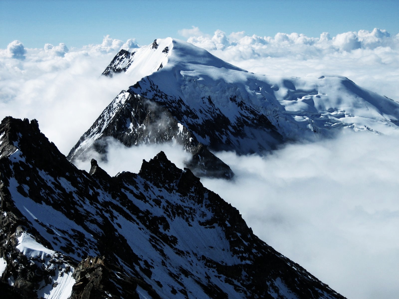 The Weissmies as seen from Lagginhorn | |
| Highest point | |
| Elevation | 4,017 m (13,179 ft) |
| Prominence | 1,185 m (3,888 ft)[1] |
| Parent peak | Monte Rosa |
| Isolation | 11.0 km (6.8 mi)[2] |
| Coordinates | 46°7′40″N 8°0′43″E |
| Geography | |
 Weissmies Location in Switzerland | |
| Location | Valais, Switzerland |
| Parent range | Pennine Alps |
| Climbing | |
| First ascent | Jakob Christian Häusser and Peter Josef Zurbriggen in 1855 |
| Easiest route | PD, basic snow climb |
Geography

The Weissmies is located on the main Alpine chain, on a massif separating the Saastal valley on the west and Simplon valley on the east. The massif consists of two other main summits lying to the north at almost the same altitude, the Lagginhorn and Fletschhorn. The mountain lies between the Lagginjoch (3,500 m) to the north and the Zwischbergen Pass (3,260 m) to the south.
The Weissmies is one of the 10 four-thousanders surrounding the Saastal, facing the Dom on the west, the third highest summit of the Alps.
Climbing

It was first climbed by Jakob Christian Häusser and Peter Josef Zurbriggen in 1855 via the Triftgrat. The ascent was mired in some controversy as the local guides did not believe that the peak could be ascended without their help; when they themselves ascended to the summit by following Häusser and Zurbriggen's footprints, they found that the highest point had indeed been reached.
The east face was climbed first by J. A. Peebles, Mr E. P. Jackson and Margaret Jackson with guides P. Schlegel, U. Rubi and J. Martin on 17 October 1876. The more difficult south face was climbed in 1884 by C. H. Wilson, A. Burgener, J. Furrer. Two weeks later, W. H. and E. Paine with T. Andenmatten and P. Zurbriggen opened a route on the northern ridge.[3]
The approach to the Trift Glacier/south-west ridge (Triftgrat) route can now be made via lift to Hohsaas (3,100 m), which is located virtually at the edge of the glacier. The ascent from Hohsaas takes about 4 hours and involves slopes to 40 degrees and crevasses. Another route starts from the Zwischbergen Pass (above Almageller Hut) at the foot of the southern ridge.
See also
- List of 4000 metre peaks of the Alps
References
- Retrieved from the Swisstopo topographic maps. The key col is the Mondellipass (2,832 m).
- Retrieved from Google Earth. The nearest point of higher elevation is east of the Lenzspitze.
- Helmut Dumler,Willi P. Burkhardt, Les 4000 des Alpes, ISBN 2-7003-1305-4
Bibliography
- Dumler, Helmut and Willi P. Burkhardt, The High Mountains of the Alps, London: Diadem, 1994
External links
- The Weissmies on Distantpeak.com
- The Weissmies on SummitPost
- description of route to Weissmies from the Almageller Hut

| Authority control |
|
|---|
На других языках
[de] Weissmies
Das Weissmies ist ein 4017 m ü. M.[1] hoher Berg der Walliser Alpen in der Schweiz. Auf der dem Saastal zugewandten Seite ist der Berg vergletschert, während auf der Ost- und Südseite Felsflanken das Bild dominieren. Talorte sind Saas-Grund sowie Saas-Almagell.- [en] Weissmies
[fr] Weissmies
Le Weissmies est un sommet de 4 017 mètres d'altitude des Alpes valaisannes en Suisse. Avec le Fletschhorn (3 986 mètres) et le Lagginhorn (4 010 mètres), il forme un chaînon de trois sommets, à l'est de la vallée de Saas. En randonnée, le tour de ce chaînon débute à la Weissmieshütte à une altitude de 2 726 mètres.[it] Weissmies
Il Weissmies (4.023 m[1]) è una vetta alpina situata nelle Alpi Pennine (sottosezione Alpi del Mischabel e del Weissmies).[ru] Вайсмис
Вайсмис (нем. Weissmies) — вершина высотой 4017 метров над уровнем моря, расположенная в Пеннинских Альпах в кантоне Вале, Швейцария.Другой контент может иметь иную лицензию. Перед использованием материалов сайта WikiSort.org внимательно изучите правила лицензирования конкретных элементов наполнения сайта.
WikiSort.org - проект по пересортировке и дополнению контента Википедии