geo.wikisort.org - Mountains
Mount Uwaynat or Gabal El Uweinat (Arabic: جبل العوينات Gabal El ʿUwaināt or Jabal al-ʿUwaināt, Arabic for 'Mountain of the springs') is a mountain range in the area of the Egyptian-Libyan-Sudanese tripoint. Because of thousands of prehistoric rock art sites, it is considered an important witness to the development of early pastoralism in the Sahara.[1]
| Mount Uwaynat | |
|---|---|
| جبل العوينات Jabal al-ʿUwaināt or Gabal El ʿUwaināt | |
 Mount Uwaynat on the border of Egypt, Libya and Sudan | |
| Highest point | |
| Elevation | 1,934 m (6,345 ft) |
| Coordinates | 21°55′N 25°01′E |
| Dimensions | |
| Length | 30 km (19 mi) |
| Width | 25 km (16 mi) |
| Geography | |
 Location in Africa 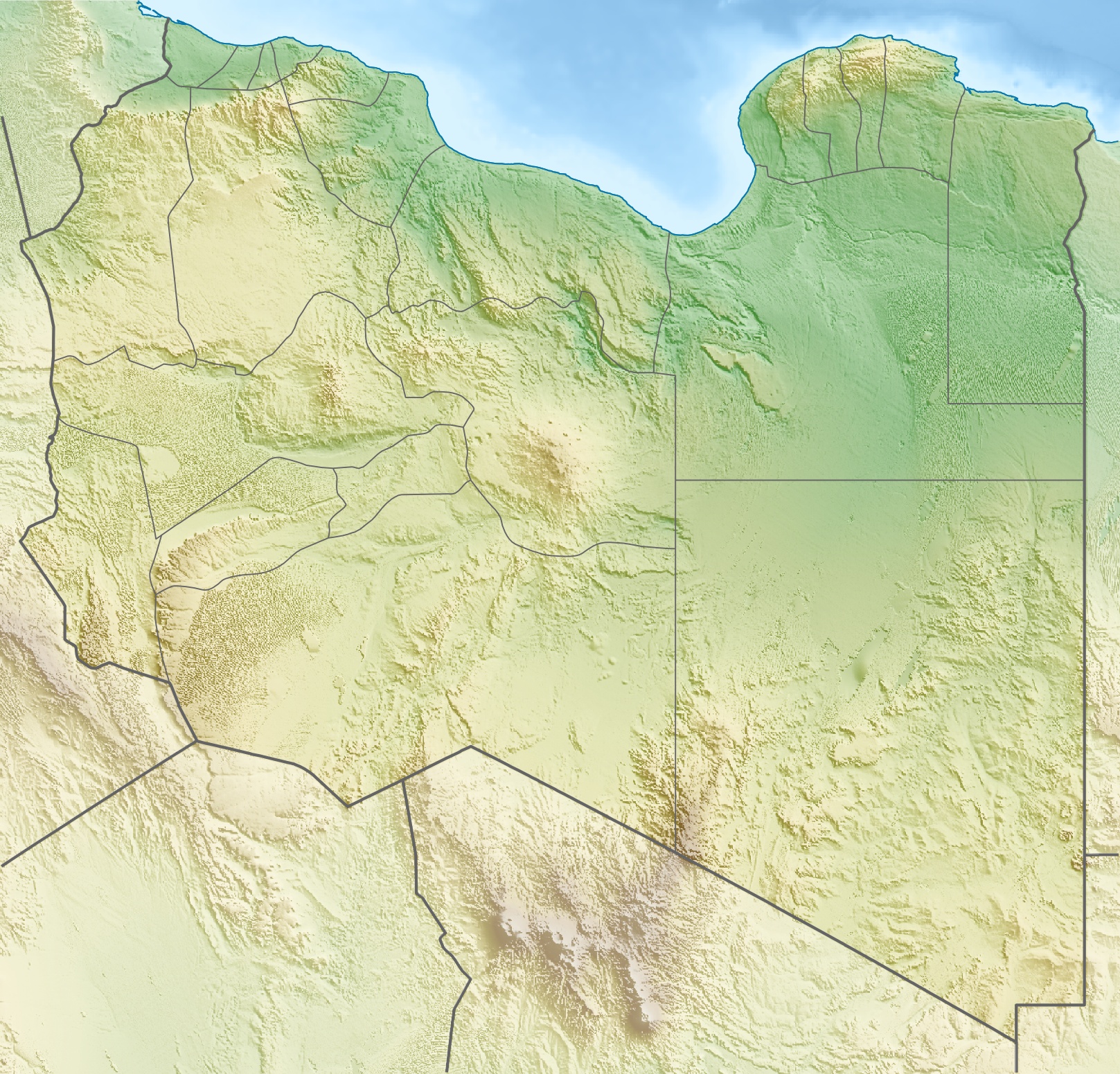 Mount Uwaynat (Libya)  Mount Uwaynat (Sudan)  Mount Uwaynat (Africa) | |
| Country | Egypt, Libya, Sudan |
Cultural significance
The area is notable for its prehistoric rock carvings, first reported by the Egyptian explorer Ahmed Pasha Hassanein—the discoverer of Uweinat, who in 1923 traversed the first 40 km of the mountain towards east, without reaching the end.[2] Engraved in sandstone, thousands of petroglyphs are visible, representing lions, giraffes, ostriches, gazelles, cows and little human figures. According to a technical report of UNESCO, "Thousands of rock art sites of different styles and themes are distributed all over the area, witnessing to the development of early pastoralism in Africa and exchanges among different ethnic groups across the Sahara."[1]
Geography
Mount Uwaynat lies about 40 km S-SE of Jabal Arkanu.[2] The main spring called Ain Dua lies at the foot of the mountain, on the Libyan side. The western foot (located at 21°52′29″N 24°54′16″E according to Hassanein) is 618 m high, and overcast with giant boulders fallen because of erosion. In general, the western slope constitutes an oasis, with wells, bushes and grass.[2]
The western part of the massif consists of intrusive granite, arranged in a ring shape of some 25 km diameter, ending in three valleys (wadis) towards the West, named Karkur Hamid, Karkur Idriss and Karkur Ibrahim. Its eastern part consists of sandstone, ending in Karkur Talh. In Karkur Murr, there is a permanent oasis (Guelta), called Ain El Brins (Bir Murr).
In the sandstone part, four plateaus emerge from the level of the surrounding desert: the Hassanein plateau, connected to an unnamed plateau through a narrow neck, the Italia plateau and another unnamed plateau. The highest point of Uweinat is on top of the Italia plateau. There are two cairns on the top, the first was erected by R.A. Bagnold and the second by Captain Marchesi, both in the 1930s.[3]

Exploration
- Ahmed Pasha Hassanein—The discoverer who first published its existence on his 1923 map.
- Prince Kamal al-Dine Hussein (son of Hussein Kamel, Sultan of Egypt)
- Ralph Alger Bagnold—Founder of the Long Range Desert Group (LRDG) and desert explorer
- Pat Clayton—LRDG and Egyptian Government Survey
- László Almásy—Hungarian desert researcher
- Hubert W. G. J. Penderel
- Leo Frobenius
- Hans Rhotert
- Prinz Ferdinand von Lichtenstein
- Mahmoud Marai (who co-discovered the Yam Inscriptions near the southern end of the mountain in 2007)
Sources
- Bertarelli, L.V. (1929). Guida d'Italia, Vol. XVII (in Italian). Milano: Consociazione Turistica Italiana.
References
- UNESCO World Heritage Centre (2004-06-04). "Jebel Ouenat technical report". UNESCO World Heritage Centre. Retrieved 2021-05-24.
{{cite web}}: CS1 maint: url-status (link) - Bertarelli (1929), p. 515.
- Bertarelli (1929), p. 516.
External links
- Story of the discovery of Oeunat as written by the discoverer in National Geographic Magazine 1924
- UNESCO World Heritage, Jebel Ouenat Technical Report, 2004
- http://www.fjexpeditions.com/frameset/uweinat.htm
- http://www.gilf-kebir.de/set2/2_01.htm
- http://www.archaeoafrica.de/G_Auenat.html Archived 2006-09-28 at the Wayback Machine
- The 'Yam Inscriptions' of Pharaoh Montuhotep II
- The Libyan desert - website with general information
| |
| Authority control |
|
|---|
На других языках
[de] Uwainat
Gabal Uwainat (1934 m; arabisch جبل عوينات Dschabal ʿUwaināt, ägyptisch-arabisch: Gabal ʿUwaināt; auch Auenat, Ouenat, Ouinat, Owainat, Uwaynat, Uweinat, Uwenat, Uweynat u.v.m.) ist ein Berg im ägyptisch-libysch-sudanesischen Dreiländereck. Der Name bedeutet „Berg der kleinen Quellen“.- [en] Gabal El Uweinat
[fr] Jebel Uweinat
Le jebel Uweinat (en arabe جبل العوينات, gabal al-ʿuwaināt, littéralement « montagne des sources », aussi orthographié Al Awaynat, Auenat, Ouenat, Ouinat, Owainat, Oweinat, Uwaynat, Uweinat, Uwenat, Uweynat) est un massif montagneux à la frontière entre l'Égypte, la Libye et le Soudan.[it] Gebel Auenat
Il Gebel Auenat (in arabo: جبل العوينات , Jabal al-ʿUwaynāt), è una montagna che si trova nella parte sud dell'altopiano del Gilf Kebir nel sud del deserto libico al confine fra Libia, Egitto e Sudan.Другой контент может иметь иную лицензию. Перед использованием материалов сайта WikiSort.org внимательно изучите правила лицензирования конкретных элементов наполнения сайта.
WikiSort.org - проект по пересортировке и дополнению контента Википедии