geo.wikisort.org - Mountains
Mount Arkanu or Jabal Arkanu (also Jebel Arkenu or Gebel Árchenu) is a mountain in Libya.
| Mount Arkanu | |
|---|---|
| جبل أركنو Jabal Arkanu | |
 Mount Arkanu seen from space | |
| Highest point | |
| Elevation | 1,435 m (4,708 ft) |
| Coordinates | 22°12′30″N 24°44′15″E |
| Dimensions | |
| Length | 28 km (17 mi) ENE/WSW |
| Width | 18 km (11 mi) NNW/SSE |
| Geography | |
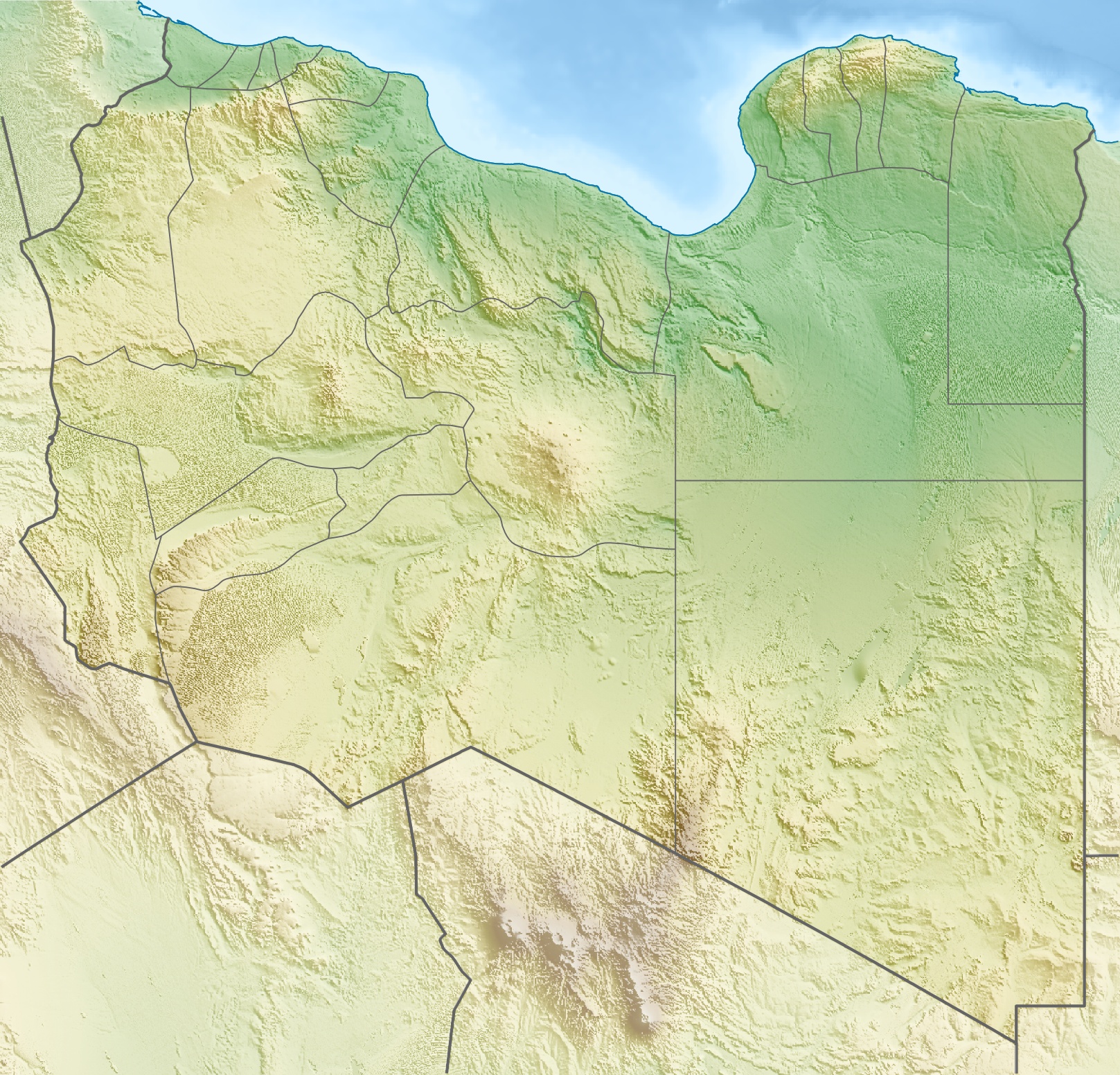 Location in Libya | |
| Country | Libya |
Geography
The mountain is located in the Libyan Desert in the Kufra District of Libya, about 300 km southeast of El Tag.[1] and about 70 km west of Arkanu and the two Arkenu structures. Its height is 1,435 metres (4,708 ft), rising about 500 m above the surrounding Gilf Kebir plateau and a valley-oasis. Mount Arkanu is 28 kilometres (17 mi) long and 18 kilometres (11 mi) wide.[2]
Arkanu's existence has been known since 1892 through Arab sources. Arkanu was first discovered in 1923 by Ahmed Hassanein.[1] The mountain consists of intrusive granite. The valley is 15 km long and oriented east-west.[1] The valley has a green environment consisting of bushes, grass and some trees.[1]

Arkanu is used as a pasture. Each year the Bedouins bring their herds to the valley, leave them there and block the entrance (located at a height of 598 metres (1,962 ft)) with rocks. They return three months later to retrieve their cattle.[1]
Sources
- Bertarelli, L.V. (1929). Guida d'Italia, Vol. XVII (in Italian). Milano: Consociazione Turistica Italiana.
Notes
- Bertarelli (1929), p. 515
- Google Earth
External links
| |
На других языках
[de] Jabal Arkanu
Der Jabal Arkanu (arabisch جبل أركانو, auch Jebel Arkenu, Gebel Árchenu) ist ein 1435 m hoher Berg im libyschen Teil der Libyschen Wüste etwa 50 km westlich zur Grenze zu Ägypten und nordwestlich der Grenze zum Sudan. Der Berg sitzt auf dem Plateausockel des Gilf el-Kebir auf und überragt diesen um 500 m. Etwa 250 km nordwestlich des Jabal Arkanu liegen die Kufra-Oasen.- [en] Jabal Arkanu
[fr] Jebel Arkanu
Le jebel Arkanu, également orthographié jebel Arkenu ou gebel Árchenu, est un massif montagneux culminant à 1 435 mètres d'altitude et une vallée-oasis située dans la chabiyat d'Al-Koufrah dans le désert Libyque, dans le Sud-Est de la Libye, à environ 300 km au sud-est de la ville d'El Tag[1]. L'existence du jebel Arkanu est connue, à travers des sources en arabe, depuis 1892 mais la montagne n'a été explorée pour la première fois qu'en 1923, par Ahmed Hassanein[1]. Elle est composée d'une intrusion de granite. La vallée est longue de 15 km et orientée d'est en ouest[1]. La végétation est constitué de buissons, d'herbes et de quelques rares arbres[1]. Le jebel Arkanu est un lieu de pâture. Chaque année, les Bédouins conduisent leurs troupeaux dans la vallée, bloquent l'entrée (située à une altitude de 598 mètres) avec des pierres, et reviennent trois mois plus tard récupérer le bétail[1].[it] Gebel Archenu
Il Gebel Archenu è una montagna di 1.435 m. che si trova in Libia, nel sud del deserto libico, presso il confine con l'Egitto. La montagna si trova a circa 25 km a nordovest del monte Gebel Auenat di cui è una copia in piccolo.Другой контент может иметь иную лицензию. Перед использованием материалов сайта WikiSort.org внимательно изучите правила лицензирования конкретных элементов наполнения сайта.
WikiSort.org - проект по пересортировке и дополнению контента Википедии