geo.wikisort.org - Mountains
Mount Anne is a mountain located in the Southwest National Park in south-west region of Tasmania, Australia. The mountain lies within the UNESCO World Heritage-listed Tasmanian Wilderness.
| Mount Anne | |
|---|---|
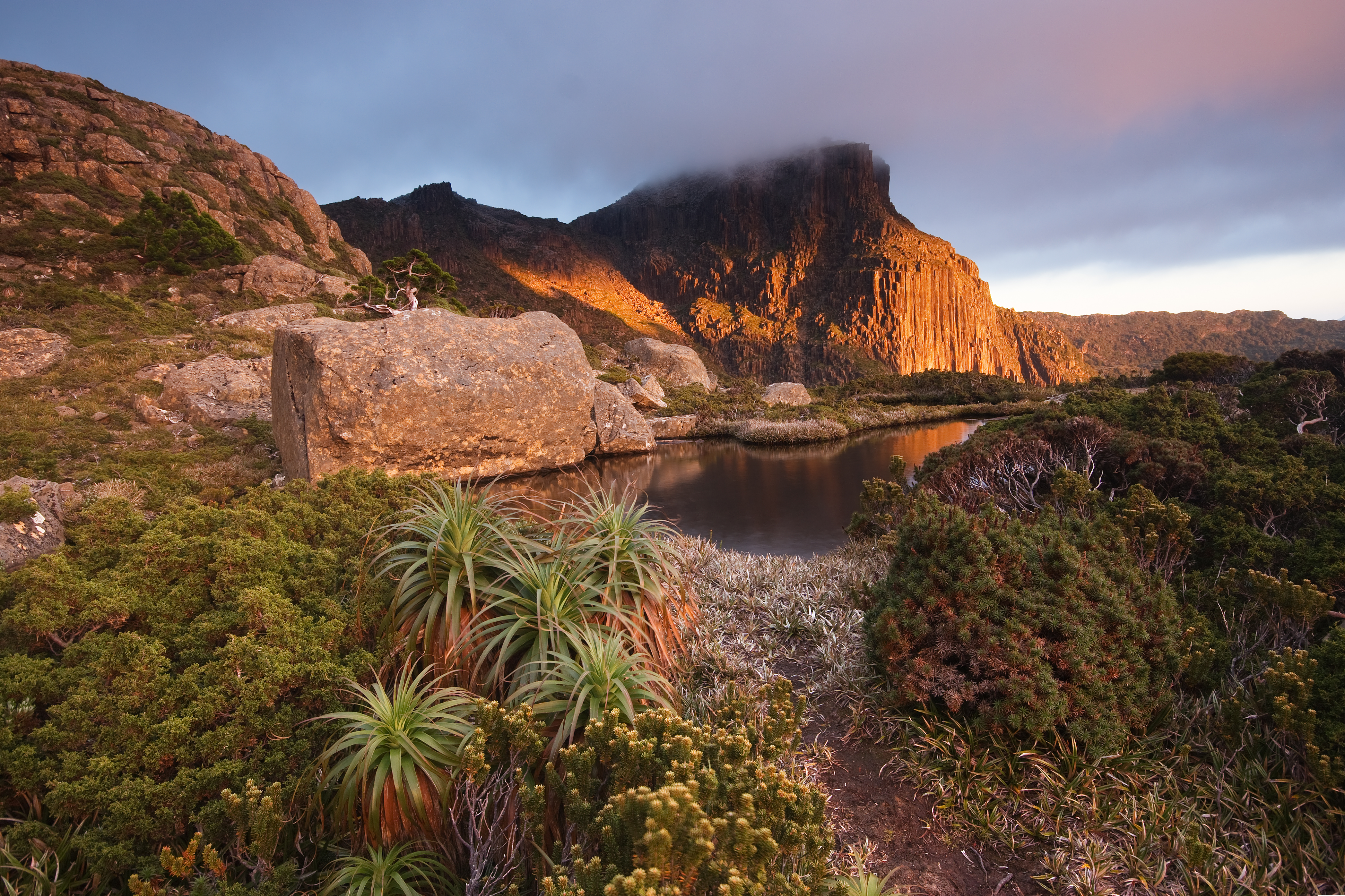
 Mount Anne, Mount Eliza and the Eliza Plateau from Scotts Peak Dam Road | |
| Highest point | |
| Elevation | 1,423 m (4,669 ft)AHD [1] |
| Prominence | 963 m (3,159 ft)[1] |
| Isolation | 32.15 km (19.98 mi)[1] |
| Coordinates | 42°56′35″S 146°25′26″E |
| Geography | |
 Mount Anne Location in Tasmania | |
| Location | South West Tasmania, Australia |
| Geology | |
| Age of rock | Jurassic |
| Mountain type | Dolerite |
| Climbing | |
| First ascent | 25 December 1929 by Walter Crookall and Geoff Chapman |
With an elevation of 1,423 metres (4,669 ft) above sea level,[1] Mount Anne is within the forty highest mountains in Tasmania, and is the highest in south-west Tasmania, adding to its appearance of prominence.[2] It dominates the area surrounding Lake Pedder.
Location and features
Although a primarily dolerite structure, it has a large sub-structure of dolomite, which contains an extensive cave system. This system includes the famous 'Anna-a-Kananda' cave — one of the deepest caves in Australia.[3] Several cavers have been killed trying to explore its depths.[4]
Mount Anne has a superb region of ancient Gondwanan-type vegetation on its north-east ridge, some of which are amongst the oldest surviving plant species on the planet.[citation needed]
History
Mount Anne was named by George Frankland after his wife, Georgina Anne in 1835.[5] Henry Judd reached the Mount Anne Plateau from the Huon Valley in 1880.[5] Walter Crookall and Geoff Chapman, members of the Hobart Walking Club found a way to the top on 25 December 1929.[6] The long hike from Maydena or Huonville became a day-walk after the construction of the Scotts Peak Dam Road in 1970.[6]
A hut was constructed on the nearby Mt Eliza by the Hobart Walking Club in 1974 to ease access to the mountain.[7]
Mount Anne is a common bushwalking destination for experienced walkers, the Mount Anne circuit is a 4-day walk that can include summiting Mount Anne.[8]
Gallery
 Mount Anne summit, 1972
 Mt Anne from High Shelf Camp


See also
References
- "Mount Anne, Australia". Peakbagger.com. Retrieved 30 May 2017.
- Wilkinson, Bill (1994). "South west region highest: Table B - The Abels arranged in Order of Altitude". The Abels: Tasmania's mountains over 1100 m high. Launceston, Tas.: Regal Publications. pp. 39–40 and 43. ISBN 0-949457-67-1.
- Australian Caver 105, 1984 Features Anne-A-Kananda of Mount Anne Tasmania + map
- Ellis, Ross; Nurse, Ben; Hanley, Lawrence; Sydney Speleological Society (1988), Australia's caves, Australian Geographic, retrieved 29 July 2015 - mentions this cave as being the deepest
- Chapman, John (2008). South West Tasmania. ISBN 978-1-920995-03-4.
- Cannon, John. "Mount Anne". Centre for Tasmanian Historical Studies. Retrieved 24 March 2010.
- "Mt Eliza Memorial Hut". Backcountry Huts.
- "Southwest National Park: Track notes" (PDF). Wild. Archived from the original (PDF) on 8 September 2012.
External links
На других языках
[de] Mount Anne
Der Mount Anne ist ein Berg im Süden des australischen Bundesstaates Tasmanien. Er liegt in der tasmanischen Wildnis, einem Gebiet, das als UNESCO-Welterbe gelistet ist.- [en] Mount Anne
[fr] Mont Anne
Le mont Anne, avec 1 423 mètres d'altitude, est le neuvième plus haut sommet de Tasmanie, en Australie, et le plus élevé de la région sud-ouest de l'île. Il est situé dans le parc national Southwest qui fait partie de la zone de nature sauvage de Tasmanie (Tasmanian Wilderness), classée au patrimoine mondial.[ru] Анн (гора)
Анн[2] (англ. Mount Anne) — гора на острове Тасмания, расположена в национальном парке Саут-Уэст (англ. Southwest National Park — Юго-Западный парк). Этот парк включён в территорию, которая называется «Дикая природа Тасмании» и является объектом Всемирного наследия ЮНЕСКО. Высота горы Анн — 1423 м над уровнем моря[1][3] (по другим данным, 1425 м[4][5]), она является самой высокой горой в юго-западной части острова Тасмания[6].Другой контент может иметь иную лицензию. Перед использованием материалов сайта WikiSort.org внимательно изучите правила лицензирования конкретных элементов наполнения сайта.
WikiSort.org - проект по пересортировке и дополнению контента Википедии