geo.wikisort.org - Mountains
The King William Range is a mountain range in the South West Wilderness, Tasmania, Australia. It is situated south of the Lyell Highway and Derwent Bridge. It is the source of the Gordon River catchment.
| King William Range | |
|---|---|
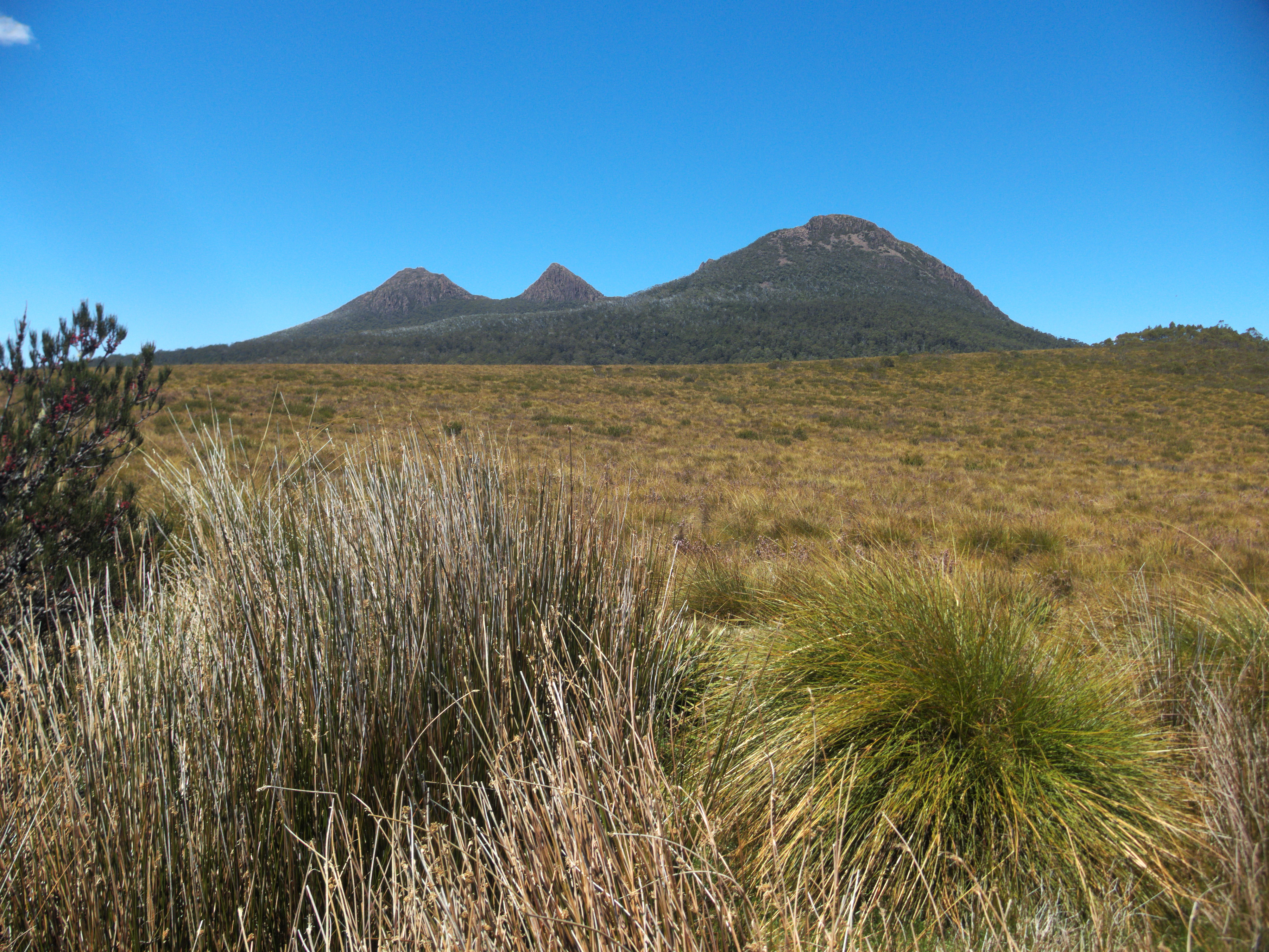 Three peaks of the King William Range seen from the Lyell Highway | |
| Geography | |
| Country | Australia |
| State | Tasmania |
| Region | South West Wilderness |
Despite older designations of a single peak,[1] it has three peaks named Mount King William, designated I, II and III.
The mountains that are over 1100m high in the range include:[2]
- Loddon Bluff (1220m)
- Mt King William I (1324m)
- Slatters Peak (1300m)
- Mt King William II (1363m)
- Mt Hobhouse (1222m)
- Wentworth Hills (1244m)
In some mapping of Tasmania it is included in the Central Highlands region, and it is also in proximity to Hydro Tasmania impoundments in the highlands.
See also
References
- "MT. KING WILLIAM, TASMANIA". Sydney Mail. Vol. XLVIII, no. 1249. New South Wales, Australia. 4 March 1936. p. 42. Retrieved 11 May 2016 – via National Library of Australia.
- Wilkinson, Bill (1994), The Abels : Tasmania's mountains over 1100m high, Regal Publications, ISBN 978-0-949457-67-7 page 34 but also check more recent edition Wilkinson, Bill (2011), The Abels : a comprehensive guide to Tasmania's mountains over 1100m high. Volume 2, Sections 6-10, Tasmanian Outdoors Collection, ISBN 978-0-646-55430-3
На других языках
[de] King William Range
Die King William Range sind ein Gebirge im Zentrum des australischen Bundesstaates Tasmanien. Die Gebirgskette befindet sich an der Nordostecke des Franklin-Gordon-Wild-Rivers-Nationalparks, südwestlich des Lake King William.- [en] King William Range
Текст в блоке "Читать" взят с сайта "Википедия" и доступен по лицензии Creative Commons Attribution-ShareAlike; в отдельных случаях могут действовать дополнительные условия.
Другой контент может иметь иную лицензию. Перед использованием материалов сайта WikiSort.org внимательно изучите правила лицензирования конкретных элементов наполнения сайта.
Другой контент может иметь иную лицензию. Перед использованием материалов сайта WikiSort.org внимательно изучите правила лицензирования конкретных элементов наполнения сайта.
2019-2026
WikiSort.org - проект по пересортировке и дополнению контента Википедии
WikiSort.org - проект по пересортировке и дополнению контента Википедии