geo.wikisort.org - River
The Merrimack River (or Merrimac River, an occasional earlier spelling[1]) is a 117-mile-long (188 km) river[2] in the northeastern United States. It rises at the confluence of the Pemigewasset and Winnipesaukee rivers in Franklin, New Hampshire,[3] flows southward into Massachusetts, and then flows northeast until it empties into the Gulf of Maine at Newburyport. From Pawtucket Falls in Lowell, Massachusetts, onward, the Massachusetts–New Hampshire border is roughly calculated as the line three miles north of the river.
| Merrimack River Merrimac River | |
|---|---|
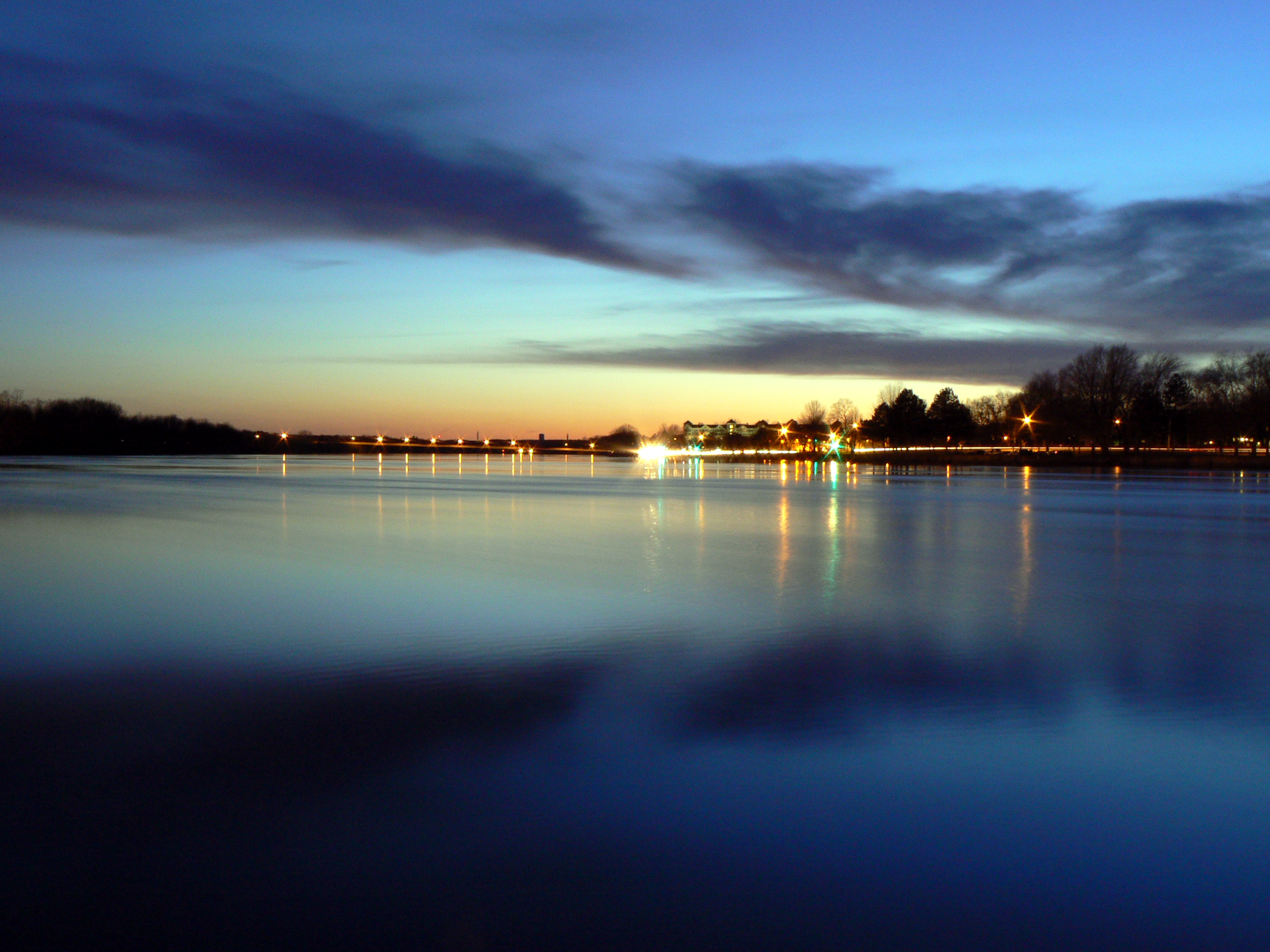
 Mouth of Merrimack River in Newburyport, Massachusetts in 2021 | |
 The Merrimack River and its major tributaries | |
| Location | |
| Country | United States |
| State | New Hampshire Massachusetts |
| Region | New England |
| Cities | Concord, NH, Manchester, NH, Nashua, NH, Lowell, MA, Lawrence, MA, Haverhill, MA, Newburyport, MA |
| Physical characteristics | |
| Source | Pemigewasset River-Winnipesaukee River juncture |
| • location | Franklin, Merrimack County, New Hampshire |
| • coordinates | 43°26′11″N 71°38′53″W |
| • elevation | 280 ft (85 m) |
| Mouth | Gulf of Maine |
• location | Newburyport, Essex County, Massachusetts |
• coordinates | 42°49′10″N 70°48′43″W |
• elevation | 0 ft (0 m) |
| Length | 117 mi (188 km) |
| Basin size | 5,010 sq mi (13,000 km2) |
| Discharge | |
| • location | Newburyport, Massachusetts |
| • average | 7,562 cu ft/s (214.1 m3/s) |
| Basin features | |
| Tributaries | |
| • left | Soucook River, Suncook River, Beaver Brook, Powwow River |
| • right | Contoocook River, Piscataquog River, Souhegan River, Nashua River, Concord River, Shawsheen River |
Merrimack River | ||||||||||||||||||||||||||||||||||||||||||||||||||||||||||||||||||||||||||||||||||||||||||||||||||||||||||||||||||||||||||||||||||||||||||||||||||||||||||||||||||||||||||||||||||||||||||||||||||||||||||||||||||||||||||||||||||||||||||||||||||||||||||||||||||||||||||||||||||||||||||||||||||||||||||||||||||||||||||||||||||||||||||||||||||||||||||||||||||||||||||||||||||||||||||||||||||||||||
|---|---|---|---|---|---|---|---|---|---|---|---|---|---|---|---|---|---|---|---|---|---|---|---|---|---|---|---|---|---|---|---|---|---|---|---|---|---|---|---|---|---|---|---|---|---|---|---|---|---|---|---|---|---|---|---|---|---|---|---|---|---|---|---|---|---|---|---|---|---|---|---|---|---|---|---|---|---|---|---|---|---|---|---|---|---|---|---|---|---|---|---|---|---|---|---|---|---|---|---|---|---|---|---|---|---|---|---|---|---|---|---|---|---|---|---|---|---|---|---|---|---|---|---|---|---|---|---|---|---|---|---|---|---|---|---|---|---|---|---|---|---|---|---|---|---|---|---|---|---|---|---|---|---|---|---|---|---|---|---|---|---|---|---|---|---|---|---|---|---|---|---|---|---|---|---|---|---|---|---|---|---|---|---|---|---|---|---|---|---|---|---|---|---|---|---|---|---|---|---|---|---|---|---|---|---|---|---|---|---|---|---|---|---|---|---|---|---|---|---|---|---|---|---|---|---|---|---|---|---|---|---|---|---|---|---|---|---|---|---|---|---|---|---|---|---|---|---|---|---|---|---|---|---|---|---|---|---|---|---|---|---|---|---|---|---|---|---|---|---|---|---|---|---|---|---|---|---|---|---|---|---|---|---|---|---|---|---|---|---|---|---|---|---|---|---|---|---|---|---|---|---|---|---|---|---|---|---|---|---|---|---|---|---|---|---|---|---|---|---|---|---|---|---|---|---|---|---|---|---|---|---|---|---|---|---|---|---|---|---|---|---|---|---|---|---|---|---|---|---|---|---|---|---|---|---|---|---|---|---|---|---|---|---|---|---|---|---|---|---|---|---|---|---|---|---|---|---|---|---|---|---|---|---|---|---|---|---|---|---|---|---|---|
| ||||||||||||||||||||||||||||||||||||||||||||||||||||||||||||||||||||||||||||||||||||||||||||||||||||||||||||||||||||||||||||||||||||||||||||||||||||||||||||||||||||||||||||||||||||||||||||||||||||||||||||||||||||||||||||||||||||||||||||||||||||||||||||||||||||||||||||||||||||||||||||||||||||||||||||||||||||||||||||||||||||||||||||||||||||||||||||||||||||||||||||||||||||||||||||||||||||||||
The Merrimack is an important regional focus in both New Hampshire and Massachusetts. The central-southern part of New Hampshire and most of northeast Massachusetts is known as the Merrimack Valley.
Several U.S. naval ships have been named USS Merrimack and USS Merrimac in honor of this river. The river is perhaps best known for the early American literary classic A Week on the Concord and Merrimack Rivers by Henry David Thoreau.
Etymology and spelling


The etymology of the name of the Merrimack River - from which all subsequent uses derive, such as the name of the Civil War ironclad - remains uncertain.
There is some evidence that it is Native American. In 1604 the natives of later New England told Pierre Dugua, Sieur de Monts, who was leading a colony of French language speakers to Acadia (later Nova Scotia), of a beautiful river to the south. The French promptly pronounced its native name as Merremack. In 1605 Samuel de Champlain followed this lead, found the river and renamed it Riviere du Gas.
The French and their name did not remain on the Merrimack. The natives dwelling along the river at the time of European exploration included the Agawam and Naumkeag on the lower reaches, the Pawtucket at Lowell, Massachusetts, the Nashua, Souhegan and Namoskeag around Manchester, New Hampshire, the Pennacook northward from Bow, New Hampshire, and the Winnepisseogee at the source, Lake Winnipesaukee.
According to Joseph B. Walker,[4] relying on Chandler Eastman Potter's The History of Manchester (1856), Merremack contains the elements merruh ("strong") and auke ("place"—a recognizable locative ending), and means "the place of strong current,- a term not inappropriate, when we consider ... the river's rapids ...." Potter was an authority on Native American affairs in colonial New England. By contrast, in A Week on the Concord and Merrimack Rivers, Henry David Thoreau implies that "its name signifies the Sturgeon River."[5]
Walker goes on to cite spellings of "Merimacke", "Merimack" and "Merrimacke" in "the colonial records of Massachusetts", as well as the "Merrimake" and "Merrymake" of a 1721 land grant at Penacook, New Hampshire. William Wood's New England's Prospect of 1634 calls the river the "Merrimacke" and locates it eight miles beyond Agowamme (Ipswich, Massachusetts). It hosts, he says, "Sturgeon, Sammon and Basse, and divers other kinds of fish."[6]
Merrimac, Massachusetts, settled in 1638 and originally part of Amesbury, Massachusetts, was called West Amesbury until 1876, at which time it adopted its current name and spelling. Merrimack, New Hampshire, was incorporated in 1746, spelling its name "Marrymac" in the record of its first town meeting. It is referred to as "Merrimac" into the early 19th century: in the 1810 decennial census, it was spelled "Merrimac", but in the 1820 census and afterwards, "Merrimack".
In 1914, US Congressman John Jacob Rogers (MA) petitioned that the official spelling be "Merrimack".[7]
History
Prior to glaciation, the Merrimack continued its southward course far beyond the present day New Hampshire-Massachusetts border to enter the Gulf of Maine near Boston. Upon the glacier's retreat, debris deposited north of Boston filled the lower Merrimack Valley, redirecting the river into its current northeast bend at Lowell. The Neville archaeological site is located along the river's banks in New Hampshire.
On the Merrimack River's banks are a number of cities built to take advantage of water power in the 19th century, when textile mills dominated the New England economy: Concord, Manchester, and Nashua in New Hampshire, and Lowell, Lawrence, and Haverhill in Massachusetts.[8] At the mouth of the river is the small city of Newburyport. Prior to the construction of the Middlesex Canal, Newburyport was an important shipbuilding city, in a location to receive New Hampshire timber that had been floated downriver.
Geography
The Merrimack River watershed covers 5,010 square miles (12,980 km2) in southern New Hampshire and northeastern Massachusetts.[9] It is the fourth largest river basin in New England.[10]
The river begins in the city of Franklin, New Hampshire, at the confluence of the Pemigewasset and Winnipesaukee rivers. From there, the river flows south through Concord, Manchester, and Nashua, entering Massachusetts at the town of Tyngsborough, where it turns northeast and winds past or through Chelmsford, Lowell, Dracut, Tewksbury, Andover, Methuen, Lawrence, North Andover, Haverhill, Groveland, West Newbury, Merrimac, and Amesbury, to its mouth at the Gulf of Maine between the city of Newburyport and the town of Salisbury.
Major sub-basins
In addition to the Merrimack River mainstem, there are dozens of sub-basins in New Hampshire and Massachusetts making up the watershed. The U.S. Geological Survey categorizes them into six fourth-level sub-basins using hydrological codes with the prefix 0107.[11]
- New Hampshire
- Pemigewasset River (HUC 01070001)
- Winnipesaukee River (HUC 01070002)
- Contoocook River (HUC 01070003)
- New Hampshire and Massachusetts
- Nashua River (HUC 01070004)
- Merrimack River (HUC 01070006; smaller tributaries)
- Massachusetts
- Sudbury/Assabet/Concord rivers (sometimes referred to simply as the Concord Sub-basin or the "SuAsCo" sub-basin) (HUC 01070005)
Other major rivers
The following are some of the other significant rivers found within the six major sub-basins in the watershed, listed moving downstream along the Merrimack:
- Soucook River
- Suncook River
- Piscataquog River (not to be confused with the Piscataqua River, part of the Piscataqua-Salmon Falls watershed)
- Cohas Brook
- Souhegan River
- Salmon Brook
- Stony Brook
- Beaver Brook
- Spicket River
- Shawsheen River
- Little River
- Powwow River
Navigation
The Merrimack is listed as one of the Navigable Waters of the United States, subject to Section 10, Rivers and Harbors Act Jurisdiction.[12]
May 2006 flooding

While the Merrimack River is prone to minor flooding, on May 15, 2006, rainfall raised the river more than 8 feet (2.4 m) above flood stage, forcing evacuations, damaging property, and breaking the main sewage pipeline in the city of Haverhill, Massachusetts, dumping 35 million gallons of raw sewage waste into the river per day. Reports of total rainfall vary, but most areas appear to have received around a foot of rain with some areas receiving as much as 17 inches (43 cm).
According to The Boston Globe, around 1,500 people evacuated their homes to escape the flood.[13]
This flood also prompted the Massachusetts city of Lowell to install a modern (albeit temporary) flood control gate comprising square steel beams at the site of the historic Francis Gate, a 19th and 20th-century wooden flood gate. When lowered, the Francis gate seals the city's canal system off from its source on the Merrimack. The Great Gate, as it is also called, was built in 1850 under the direction of James B. Francis. Considered unnecessary when it was first constructed, "Francis' Folly" first saved the city in 1852 and subsequently in 1936.
Other flooding events
The most significant flood in the recorded history of the Merrimack was in March 1936, when a double flood of rain and melting snow and ice swelled the Merrimack at Lowell to 68.4 feet (20.8 m), 10 feet (3 m) higher than the 2006 flood. Part of the Jack Kerouac book Doctor Sax is set during this event.
In addition to the 1936 flood, the 1852 flood, and the Mother's Day Flood of 2006, the New England Hurricane of 1938 and floods in October 1996 and April 2007 round out the river's most serious [14] flood events, measured at Lowell. The Francis Gate had been left in place after being dropped in 1936, so it prevented flooding in 1938 as well. In 2007, the steel beam system was again assembled in place.
In media
The song "Merrimack River" and its instrumental reprise are featured on the 2009 album Amanda Leigh by Nashua, New Hampshire, native Mandy Moore.
Anya Seton's historical novel Avalon includes a section depicting the fictional Pre-Columbian arrival of 9th century Irish and English travelers at the Merrimack River and their interactions with local Native Americans.
See also
- List of rivers of Massachusetts
- List of rivers of New Hampshire
- List of crossings of the Merrimack River
References
- Chisholm, Hugh, ed. (1911). . Encyclopædia Britannica. Vol. 18 (11th ed.). Cambridge University Press. p. 173.
- "National Hydrography Dataset high-resolution flowline data". The National Map. U.S. Geological Survey. Retrieved October 3, 2011.
- "The Voice of the Merrimack". Merrimack River Watershed Council. 2007.
- Pages 414-415.
- Johnson 319
- Currier (1902), page 23.
- Frederick W. Coburn, History of Lowell and Its People VI (1920)
- Murphy, Cait; Haggerty, Roseanne (April–May 2003). "Reinventing a River". American Heritage. Retrieved Aug 2, 2017.
- "Merrimack River Watershed Assessment Study" (PDF). U.S. Army Corps of Engineers: New England District. Retrieved 2 August 2017.
- "Merrimack River Watershed". Official Website of the Massachusetts Executive Office of Energy and Environmental Affairs. Retrieved 28 July 2017.
- "Boundary Descriptions and Names of Regions, Subregions, Accounting Units and Cataloging Units". U.S. Department of the Interior, U.S. Geological Survey. Retrieved 13 August 2017.
- Navigable Waters of the United States in New England / Subject to Section 10, Rivers and Harbors Act Jurisdiction
- Brian MacQuarrie (May 16, 2006). "Flooding besets region; more rain in forecast". The Boston Globe.
- "Advanced Hydrologic Prediction Service: Boston: Merrimack River at Lowell". Water.weather.gov. Retrieved August 2, 2013.
Bibliography
- Currier, John James (1902). History of Newbury, Mass. 1635-1902. Boston: Damrell & Upham. Downloadable from Google Books.
- Johnson, Linck C. (1986). Thoreau's Complex Weave: The Writing of A Week on the Concord and Merrimack Rivers with the Text of the First Draft. Charlottesville: University of Virginia Press.
- Meade, J.W. (1869). The Merrimack River: its source and its tributaries. Boston: B. B. Russell.
- Walker, Joseph B. (1863). "The Valley of the Merrimack". Collections of the New Hampshire Historical Society. New Hampshire Historical Society: 414–432.. Downloadable from Google Books.
External links
- U.S. Geological Survey (2007). "Merrimack River Drainage Basin". Archived from the original on 2008-11-21. Retrieved 2004-03-01.
- Map of Massachusetts Watersheds
- Map of New Hampshire Watersheds Archived 2020-10-17 at the Wayback Machine
Authority control | |
|---|---|
| General |
|
| National libraries | |
| Other |
|
На других языках
[de] Merrimack River
Der Merrimack River (historisch auch Merrimac) ist ein 177 km langer Fluss in den US-Bundesstaaten New Hampshire und Massachusetts.- [en] Merrimack River
[it] Merrimack
Il Merrimack è un fiume del nord-est degli Stati Uniti che sfocia nell'Oceano Atlantico.[ru] Мерримак (река)
Ме́рримак (англ. Merrimack River) — река в штатах Нью-Гэмпшир и Массачусетс. Длина реки — 177 км. Площадь водосбора — 12900 км².[источник не указан 568 дней]Другой контент может иметь иную лицензию. Перед использованием материалов сайта WikiSort.org внимательно изучите правила лицензирования конкретных элементов наполнения сайта.
WikiSort.org - проект по пересортировке и дополнению контента Википедии