geo.wikisort.org - River
The Three Mile River or Threemile River[1] is a river in Bristol County, Massachusetts. It is formed by the junction of the Rumford and Wading rivers in the town of Norton.[2] It flows in a southeasterly direction for 13.5 miles (21.7 km)[3] through the towns of Norton, Taunton and Dighton, where it joins the Taunton River.[4]

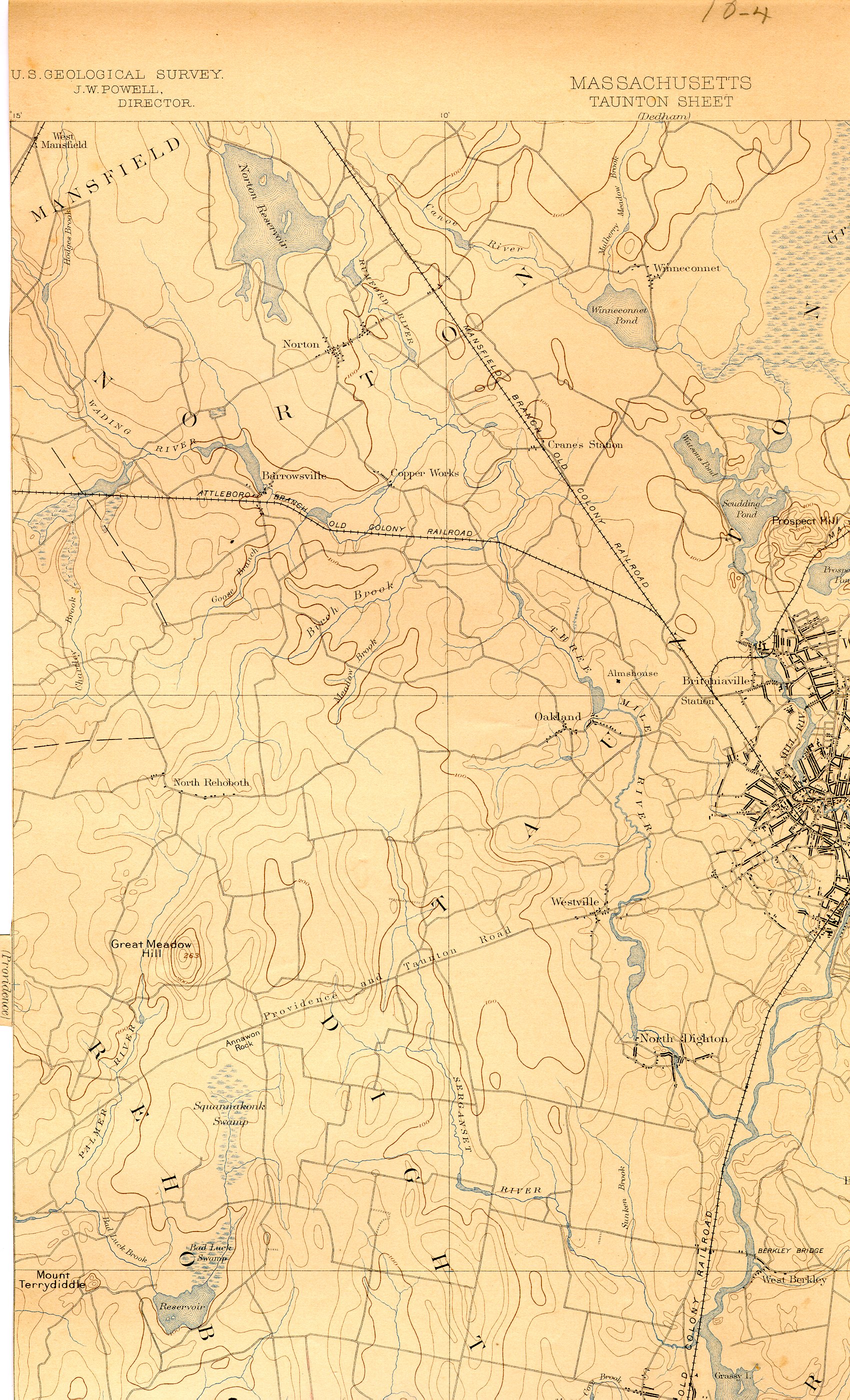
On August 25, 2008, the Three Mile Watershed was designated an Area of Critical Environmental Concern (ACEC) by the Massachusetts Department of Conservation and Recreation (DCR). The ACEC designation imparts certain protections and restrictions within a designated area relating to new development and other human activities.[5]
See also
- List of Massachusetts rivers
- Taunton River
References
- U.S. Geological Survey Geographic Names Information System: Threemile River
- ACEC Page
- U.S. Geological Survey. National Hydrography Dataset high-resolution flowline data. The National Map, accessed April 1, 2011
- USGS Maps
- ACEC Map, Mass DCR
External links
- Taunton River Stewardship Program: The Wildlands Trust of Southeastern Massachusetts
- Taunton River Watershed Alliance
- University of Rhode Island: Taunton River Watershed critical resource atlas
- TauntonRiver.org Wild & Scenic River page
Authority control | |
|---|---|
| General |
|
| National libraries | |
This Bristol County, Massachusetts geography–related article is a stub. You can help Wikipedia by expanding it. |
Другой контент может иметь иную лицензию. Перед использованием материалов сайта WikiSort.org внимательно изучите правила лицензирования конкретных элементов наполнения сайта.
WikiSort.org - проект по пересортировке и дополнению контента Википедии