geo.wikisort.org - River
Macquarie Rivulet is a perennial river located in the Southern Highlands and Illawarra regions of New South Wales, Australia.
| Macquarie Rivulet | |
|---|---|
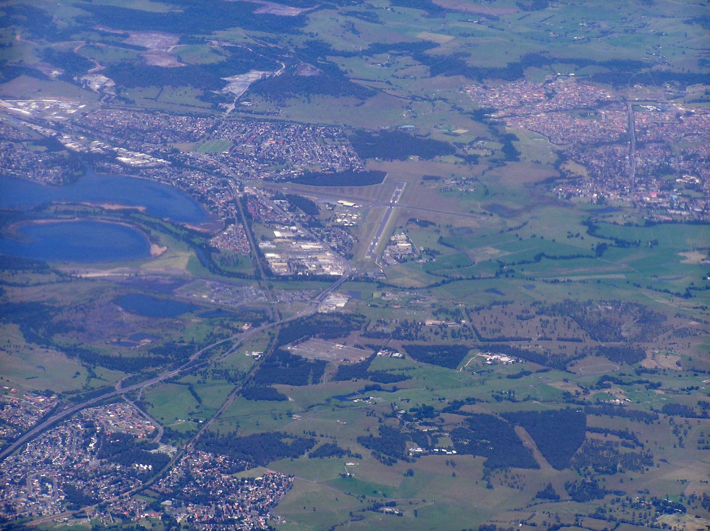 Aerial view showing Macqurie Rivulet entering Lake Illawarra via the curved channel at left. | |
| Etymology | In honour of Lachlan Macquarie |
| Location | |
| Country | Australia |
| State | New South Wales |
| Region | Sydney Basin (IBRA), Southern Highlands, Illawarra |
| Local government areas | Wingecarribee, City of Shellharbour |
| Physical characteristics | |
| Source | Illawarra escarpment |
| • location | near Robertson |
| Mouth | Lake Illawarra |
• location | east of Yallah |
| Length | 23 km (14 mi) |
| Basin features | |
| National park | Macquarie Pass NP |
Location and features
Macquarie Rivulet rises within the Macquarie Pass National Park on the eastern slopes of the Illawarra escarpment and drains the eastern edge of the Southern Highlands plateau. The headwaters of the rivulet gather approximately 4 kilometres (2.5 mi) northeast of the town of Robertson and north of the Macquarie Pass. The rivulet flows generally east by north before reaching its mouth within Lake Illawarra, east of the Shellharbour suburb of Yallah.[1]
The Princes Highway crosses the Macquarie Rivulet at Yallah.
See also
- List of rivers of New South Wales
- List of rivers of New South Wales (L–Z)
- Mount Murray
- Rivers of New South Wales
References
- "Macquarie Rivulet". Geographical Names Register (GNR) of NSW. Geographical Names Board of New South Wales. Retrieved 18 May 2013.
External links
- "Illawarra catchments" (map). Office of Environment and Heritage. Government of New South Wales.
Rivers of the Southern Rivers catchment, New South Wales, Australia | |
|---|---|
| Illawarra |
|
| Shoalhaven | |
| Eurobodalla | |
| Far South Coast | |
| Snowy River | |
| |
Текст в блоке "Читать" взят с сайта "Википедия" и доступен по лицензии Creative Commons Attribution-ShareAlike; в отдельных случаях могут действовать дополнительные условия.
Другой контент может иметь иную лицензию. Перед использованием материалов сайта WikiSort.org внимательно изучите правила лицензирования конкретных элементов наполнения сайта.
Другой контент может иметь иную лицензию. Перед использованием материалов сайта WikiSort.org внимательно изучите правила лицензирования конкретных элементов наполнения сайта.
2019-2026
WikiSort.org - проект по пересортировке и дополнению контента Википедии
WikiSort.org - проект по пересортировке и дополнению контента Википедии