geo.wikisort.org - River
Bellinger River, an open and trained mature wave dominated, barrier estuary,[3] is located in the Mid North Coast region of New South Wales, Australia.
| Bellinger River North Arm Bellingen River, North Arm Bellinger River[1] | |
|---|---|
 2009 | |
| Location | |
| Country | Australia |
| State | New South Wales |
| IBRA | NSW North Coast |
| District | Mid North Coast |
| Local government area | Bellingen |
| Physical characteristics | |
| Source | Great Dividing Range |
| • location | below Point Lookout, near Ebor |
| • elevation | 1,150 m (3,770 ft) |
| Mouth | Tasman Sea, South Pacific Ocean |
• location | east of Urunga |
• elevation | 0 m (0 ft) |
| Length | 109 km (68 mi) |
| Basin size | 1,100 km2 (420 sq mi) |
| Basin features | |
| Tributaries | |
| • left | Hydes Creek, Woods Creek (New South Wales), Never Never River |
| • right | Boggy Creek |
| National parks | New England NP, Bellinger River NP |
| [2] | |
Course and features
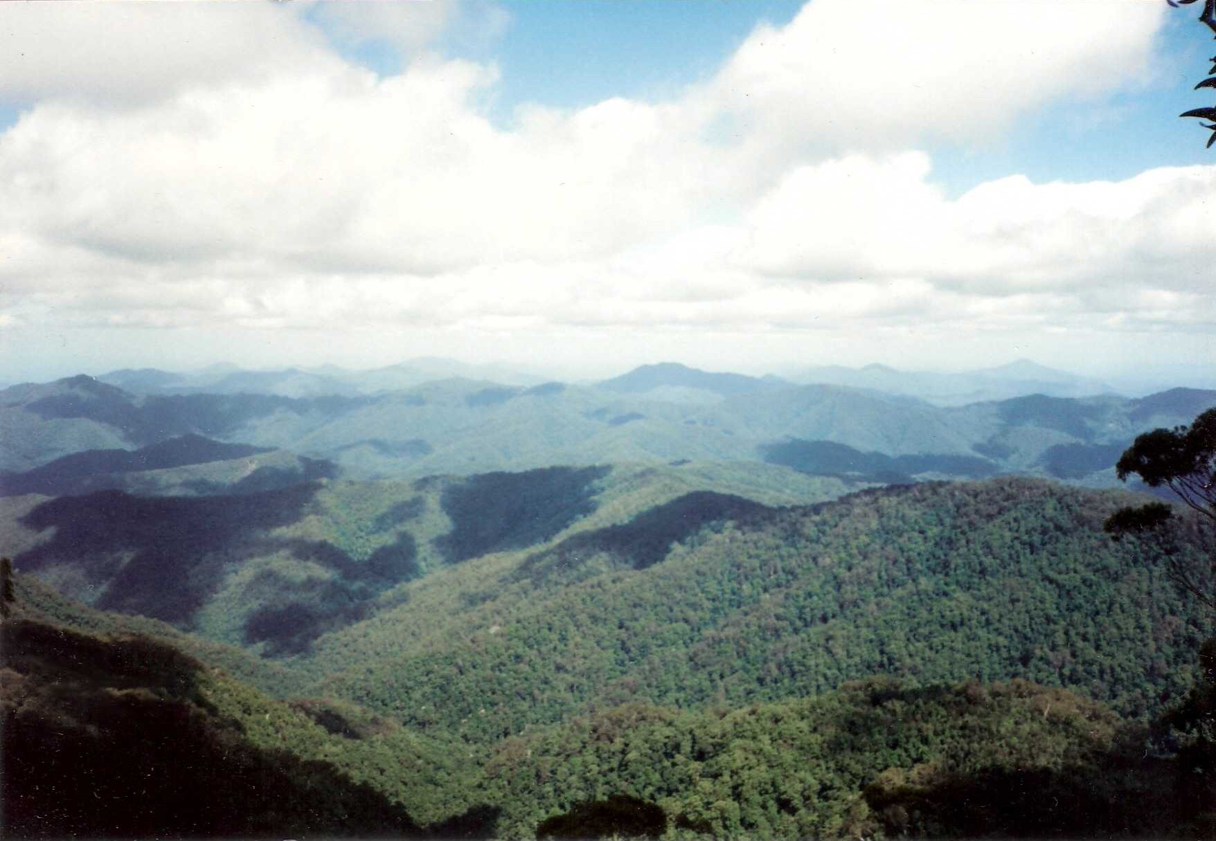
Bellinger River rises below Point Lookout within the Great Dividing Range, southeast of Ebor, and flows in a meandering course generally east, joined by four tributaries including Never Never River, before reaching its mouth at the Tasman Sea of the South Pacific Ocean, east of Urunga. The river descends 1,150 metres (3,770 ft) over its 69 kilometres (43 mi) course.[2]
Parts of the Bellinger River are contained within the Bellinger River National Park and the New England National Park. Other land uses in the valley include livestock grazing and forestry.
Waterfall Way is located adjacent to the middle reaches of the Bellinger River; and towards its mouth, the river is transversed by the Pacific Highway, near Raleigh.
A rare Australian turtle, the Emydura macquarii (or the Bellinger River freshwater turtle), has a restricted distribution in the upper Bellinger River above Thora.[4]
History
Clement Hodgkinson was the first European to explore the area in March 1841.[citation needed]
See also
- Rivers of New South Wales
- List of rivers of Australia
References
- "Bellinger River". Geographical Names Register (GNR) of NSW. Geographical Names Board of New South Wales. Retrieved 10 March 2013.
- "Map of Bellinger River, NSW". Bonzle Digital Atlas of Australia. Retrieved 10 March 2013.
- Roy, P. S; Williams, R. J; Jones, A. R; Yassini, I; et al. (2001). "Structure and Function of South-east Australian Estuaries". Estuarine, Coastal and Shelf Science. 53: 351–384. doi:10.1006/ecss.2001.0796.
- "Bellinger River Emydura (Emydura macquarii) Recovery Plan". NSW National Parks and Wildlife Service. Department of Sustainability, Environment, Water, Population and Communities. ISBN 0-731-36367-1. Retrieved 12 December 2008.
External links
- "Bellinger River & Coffs Harbour catchments" (map). Office of Environment and Heritage. Government of New South Wales.
River systems and rivers of the Northern Rivers catchments, New South Wales, Australia | |
|---|---|
| Tweed Shire and Tweed River | |
| Byron Shire and Brunswick River | |
| Richmond Valley and Richmond River | |
| Clarence Valley and Clarence River |
|
| Coffs Harbour, Bellingen Shire, and Bellinger River | |
| Nambucca Shire, Kempsey Shire, and Nambucca-Macleay rivers | |
| Port Macquarie-Hastings and Hastings River | |
| |
Другой контент может иметь иную лицензию. Перед использованием материалов сайта WikiSort.org внимательно изучите правила лицензирования конкретных элементов наполнения сайта.
WikiSort.org - проект по пересортировке и дополнению контента Википедии