geo.wikisort.org - River
The Clyde River (Dhurga: Bhundoo) is an open intermediate tide dominated drowned valley estuary,[5] or perennial river[1] that flows into the Tasman Sea at Batemans Bay, located in the South Coast region of New South Wales, Australia.
| Clyde River | |
|---|---|
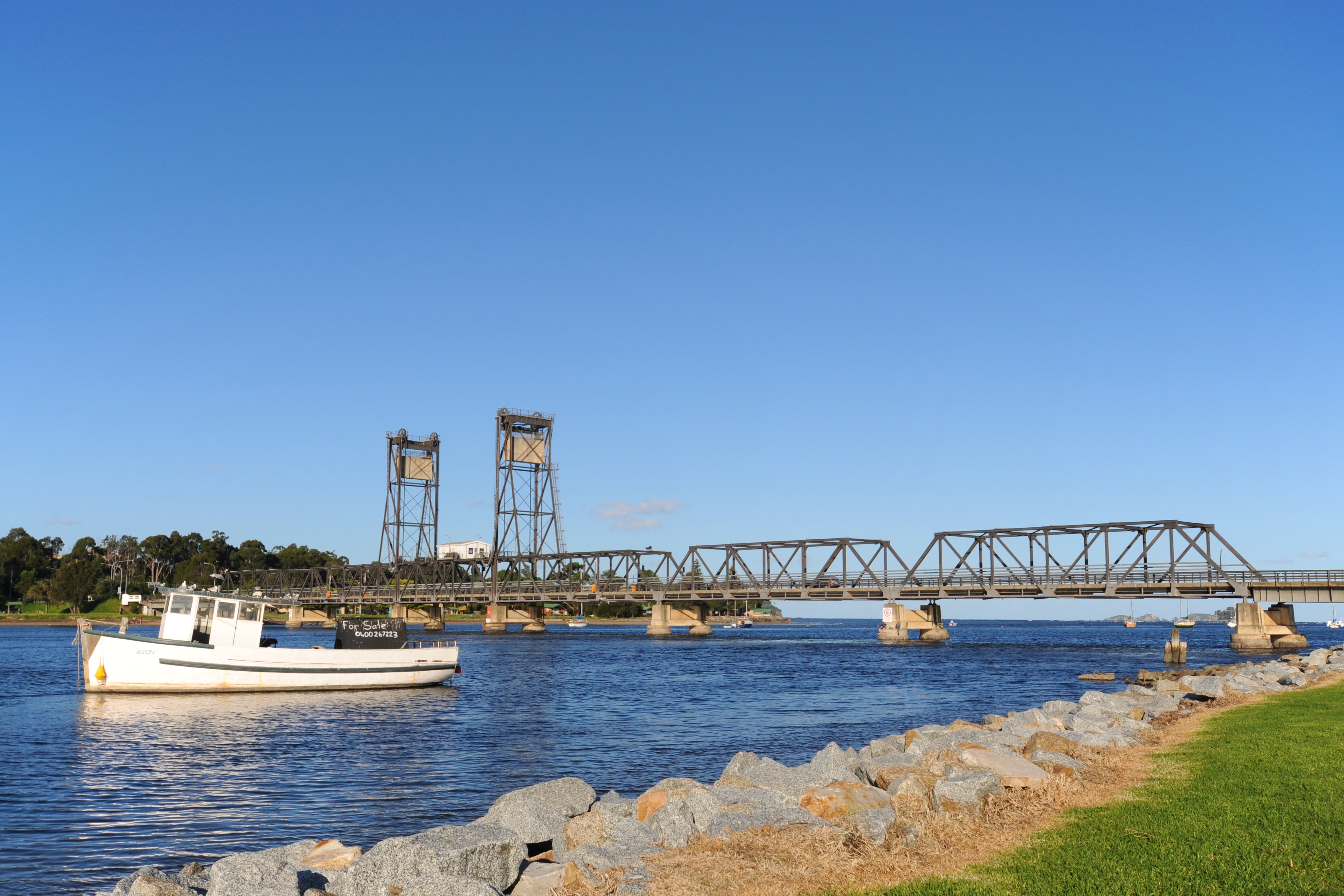 Clyde River flowing under the bridge at Batemans Bay | |
| Etymology | River Clyde, Scotland (1821)[1][2] |
| Native name | Bhundoo (Dhurga)[3] |
| Location | |
| Country | Australia |
| State | New South Wales |
| Region | South East Corner (IBRA), South Coast |
| Local government areas | Shoalhaven, Eurobodalla |
| City | Batemans Bay |
| Physical characteristics | |
| Source | Budawang Mountains, Great Dividing Range |
| • location | near Kangaroo Hill, within Budawang National Park |
| • elevation | 597 m (1,959 ft) |
| Mouth | Tasman Sea, South Pacific Ocean |
• location | Batemans Bay |
| Length | 102 km (63 mi) |
| Basin size | 1,723 km2 (665 sq mi) |
| Depth | |
| • average | 3 m (9.8 ft) |
| Basin features | |
| Tributaries | |
| • left | Claydons Creek, Pigeon House Creek, Boyne Creek, Cockwhy Creek |
| • right | Yadboro River, Crooked Creek (Clyde River)|Crooked Creek, Bimberamala River, Currowan Creek, Buckenbowra River |
| [4][5][1] | |
Course and features
The Clyde River rises below Kangaroo Hill in the Budawang Range, part of the Great Dividing Range, within Budawang National Park, south of the locality of Sassafras, and flows generally southwards parallel to the east coast, joined by nine tributaries including the Bimberamala, Yadboro, and Buckenbowra rivers, before turning east and reaching its mouth of the Tasman Sea at Batemans Bay. The river descends 601 metres (1,972 ft) over its 102 kilometres (63 mi) course.[4]
The lower reaches of the Clyde River form a substantial estuary up to 30 kilometres (19 mi) from its mouth[6] which is navigable by small vessels to Nelligen, with a tidal ebb of up to 1.28 metres (4 ft 2 in). The coastal estuary covers a catchment area of 1,723 square kilometres (665 sq mi) and contains approximately 50,737 megalitres (1,791.8×106 cu ft) of water over an estimated surface area of 17.5 square kilometres (6.8 sq mi); and at an average depth of 3 metres (9.8 ft).[7]
The river is one of the last major rivers in eastern Australia that has not been dammed.[6] Porters Creek, a tributary of one of the Clyde's tributaries, Pigeon House Creek, is dammed by the Porters Creek Dam, which supplies water to coastal towns.[8][9]
In its upper reaches, the river forms within the Budawang National Park; while in its lower reaches, the river flows through the Clyde River National Park.
Water quality of the basin is very good. The upper catchment is heavily timbered (state forests and national parks); there is a small amount of logging in the Yadboro State Forest.[10] There are no polluting industries in its catchment, nor any sewage outflows, and thus the river has a reputation for the cleanest, least polluted waters of any major river in eastern Australia.[6]
History and naming
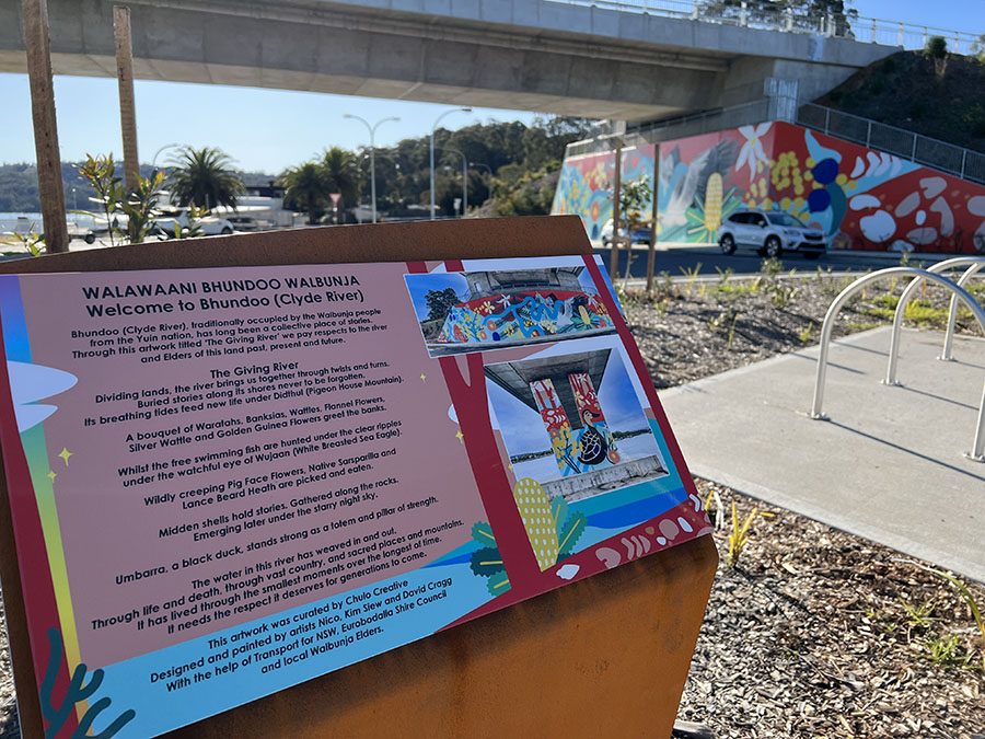
The region was first occupied by the Walbunja people from the Yuin nation. Their name for the river, Bhundoo, means "Deep Water".[6][11]
The river was given the name Clyde River after the River Clyde in Glasgow, Scotland, by Lieutenant Robert Johnston, who navigated the river aboard the cutter Snapper on 1 December 1821.[2][12]
Crossings
The river crossings, from its headwaters to its river mouth, include:
- Yadboro Flats bridge, from Yadboro Road to Western Distributor Road, downstream from the junction with Yadboro River
- Clyde Ridge Road bridge
- Shallow Crossing, on The River Road, a concrete causeway/ford, at the tidal limit of the Clyde estuary
- Nelligen bridge, on the Kings Highway[13]
- Batemans Bay bridge, on the Princes Highway. The old steel truss bridge has been replaced by a new, higher bridge with two lanes for traffic in each direction. The new bridge formally opened on 27 March 2021,[14] after which the old bridge was dismantled. The new bridge is designed to ease traffic congestion and delays caused by the limitations of the old bridge, which only had one narrow lane in each direction. In addition, the old bridge had a central section which is raised to allow tall watercraft to pass underneath. This meant regular delays for local and holiday traffic which was frequently backed up for several kilometres as a result.
Gallery
 Early morning mist on the Clyde River at Nelligen, 2008.
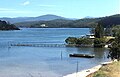 The Clyde River, looking upstream from Batemans Bay towards the Budawang Range, 2009.
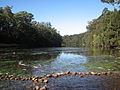 At Shallow Crossing, the River Road crosses the Clyde River at a concrete ford.
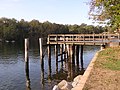 Wharf at Nelligen formerly used by the Illawarra Steam Navigation Company.


See also
References
- "Clyde River". Geographical Names Register (GNR) of NSW. Geographical Names Board of New South Wales. Retrieved 25 May 2013.
- "Report from Robert Johnston to Governor Macquarie on the discovery and naming of the River Clyde". The Sydney Gazette and New South Wales Advertiser. 15 December 1821 – via National Library of Australia.
- "Yangary and Bhundoo" (PDF). NSW Government. Archived from the original on 23 July 2022. Retrieved 23 July 2022.
{{cite web}}: CS1 maint: bot: original URL status unknown (link) - "Map of Clyde River, NSW". Bonzle Digital Atlas of Australia. Retrieved 25 May 2013.
- Roy, P. S.; Williams, R. J.; Jones, A. R.; Yassini, I.; et al. (2001). "Structure and Function of South-east Australian Estuaries". Estuarine, Coastal and Shelf Science. 53: 351–384. doi:10.1006/ecss.2001.0796.
- "Bhundoo (The Clyde River)". Welcome to the Clyde Coast. clydecoast.com.au. Retrieved 14 January 2008.
- "Clyde River: Physical characteristics". Coastal and floodplain management: Coastal zone management: Estuaries of NSW. NSW Environment & Heritage. 26 April 2012. Retrieved 25 May 2013.
- "Our Water Supply". shoalwater.nsw.gov.au. Retrieved 27 January 2021.
- "Porters Creek Dam". Google Maps. Retrieved 27 January 2021.
{{cite web}}: CS1 maint: url-status (link) - "Surface water quality in Clyde River". Water resources – Quality – New South Wales:- Basin: Clyde River – Jervis Bay. Australian Natural Resources Atlas: Australian Department of the Environment and Water Resources. 16 November 2007. Archived from the original on 30 July 2008. Retrieved 14 January 2008.
- "Sites and storylines". Beach campground. National Parks & Wildlife Service. Archived from the original on 10 November 2019. Retrieved 11 March 2021.
- Moore, Dennis (2002). "The Inlet That Eluded Bass, Batemans Bay – South Coast NSW". Morningside Internet. Archived from the original on 10 April 2013. Retrieved 14 June 2006.
- NSW Government (November 2018). "Nelligen Bridge Replacement" (PDF).
{{cite web}}: CS1 maint: url-status (link) - "Batemans Bay Bridge replacement project". Retrieved 29 July 2021.
External links
- "Clyde River & Jervis Bay catchments" (map). Office of Environment and Heritage. Government of New South Wales.
Rivers of the Southern Rivers catchment, New South Wales, Australia | |
|---|---|
| Illawarra |
|
| Shoalhaven | |
| Eurobodalla | |
| Far South Coast | |
| Snowy River | |
| |
| Cities |
|
|---|---|
| Towns & Townships |
|
| Local government areas | |
| National parks |
|
| Rivers and other waterbodies | |
На других языках
[de] Clyde River (Tasmansee)
Der Clyde River ist ein Fluss im Südosten des australischen Bundesstaates New South Wales.- [en] Clyde River (New South Wales)
Другой контент может иметь иную лицензию. Перед использованием материалов сайта WikiSort.org внимательно изучите правила лицензирования конкретных элементов наполнения сайта.
WikiSort.org - проект по пересортировке и дополнению контента Википедии