geo.wikisort.org - River
The Duck River is a perennial stream[1] and southern tributary of the Parramatta River, in Sydney, New South Wales, Australia.
| Duck | |
|---|---|
 Duck River in Clyde, passing under the M4 Western Motorway | |
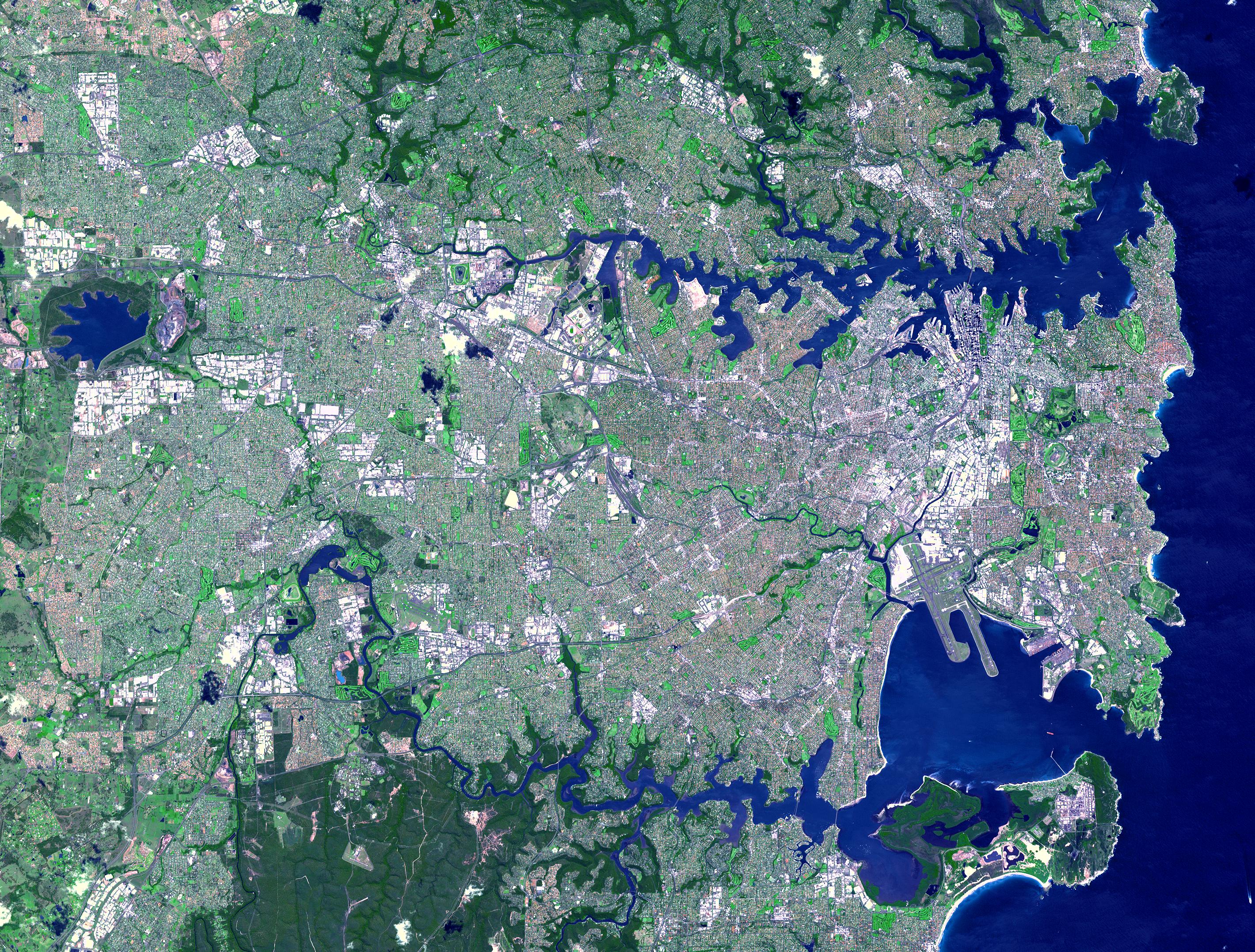 NASA satellite view of Greater Metropolitan Sydney, with the location of the mouth of the Duck River, as marked | |
| Location | |
| Country | Australia |
| State | New South Wales |
| Region | Sydney basin (IBRA), Greater Western Sydney |
| LGAs | City of Canterbury-Bankstown, City of Parramatta, Cumberland Council |
| Physical characteristics | |
| Source | Sydney Water Supply Pipeline |
| • location | Birrong/Sefton |
| • coordinates | 33°52′42″S 151°0′47″E |
| 2nd source | A'Becketts Creek |
| • location | Rosehill |
| • coordinates | 33°49′46.98″S 151°1′21.93″E |
| Mouth | Parramatta River |
• location | Silverwater |
• coordinates | 33°49′28.87″S 151°2′56.35″E |
| Length | 11.5 km (7.1 mi) |
| Basin features | |
| River system | Parramatta River catchment |
| Tributaries | |
| • left | A'Becketts Creek, Duck Creek |
History

The Darug people of the Burramattagal clan were the original inhabitants of the land at the head of the Parramatta River. The southern riverbank was a vital source of their food and living resources. In their seasonal rotation of campsites around their territory, the clan would have found that the abundant fish, shellfish, birds, reptiles and marsupials contributed greatly to their daily quest for food. The agreed boundary between the Burramattagal country and their neighbours, the Wategora clan, is believed to have been the Duck River.[2]
On 22 April 1788 Governor Arthur Phillip and his party of officers and marines journeyed inland by boat from Sydney Cove to find better farmlands for the new settlement. At the head of the navigable river they landed on the shore near Clyde of what he named Duck River due to the abundance of ducks in the area.[3] They left their boats to explore the area but could not penetrate the thick bush.
In the early 1800s John Macarthur extended his land grants and his Elizabeth Farm holdings to gain the complete river frontage between the township of Parramatta and Duck River.[4]
Early surveys and maps suggest the Duck River area downstream from the confluence with A'Becketts Creek was a wetland of saltmarsh, rushes and grasses. Upstream, the Eucalypt forest adjoining Duck River was cleared by the Australian Timber Company to supply railway sleepers and firewood during and after the construction of the Sydney to Parramatta railway in the 1850s.[5]
In 1882, Hudson Brothers, renamed in 1898 Clyde Engineering was built nearby to the river. In 1908 the Fells Oil Refinery, and in 1928 the Clyde Refinery was built on left hand bank where Duck River joins the Parramatta River.[5]
Geography

The Duck River flows in a generally north then east-north-east direction for about 11.5 kilometres (7.1 mi) from where it rises from a drain in the suburb of Birrong to where it joins the Parramatta River at Silverwater. In its lower reaches it is a tidal creek.
The Wetlands are of regional conservation significance, providing home to three Endangered Ecological Communities and several threatened species, and are highly valued by the local community.
The Duck River Catchment commences in the Bankstown local government area, near Bankstown and Condell Park. The area drains north through a system of stormwater pipes and open drains to the Sydney Water Supply Pipeline at Sefton, which is the boundary between Bankstown City and Parramatta City. From here, a more natural watercourse continues through the Parramatta and Auburn local government areas to eventually join the Parramatta River.[6]
Downstream, A'Becketts Creek flows into Duck River at Rosehill, near the M4 Western Motorway overpass of James Ruse Drive and the Rosehill Heliport/Airport.
Wategora Reserve
Wategora Reserve is named after the Wategora tribe, also translated as Wadi(g)ora, who inhabited the local area along Duck River. The Wategora were also known as the Duck River Tribe who lived around and above the tidal limit.[7] This important bushland area is situated on the Duck River, 5 kilometres (3.1 mi) south of the Parramatta River, opposite Auburn Golf Course. 246 indigenous species of plants are recorded at the Wellington Road Reserve.[3]
A remnant of the Cumberland Plain Woodland, the 11 hectare area canopy consists of eucalyptus woodland, dominated by grey box and broad-leaved ironbark. Three species of tea trees (Melaleuca) are also common. However, other unusual plants known from wetter areas include turpentine, cheese tree, red mahogany and coffee bush. Grey gum grow near an outcrop of Minchinbury Sandstone. Wildflowers are common in late winter, and small orchids may be observed. Being surrounded by suburbia, the reserve is affected by weeds. Bush regeneration programs are in place.
Native wildlife includes possums, many species of birds, and reptiles such as the water skink and red-bellied black snake. Budgerigars and brush turkeys have been recorded in the reserve.
See also
- Duck Creek, a tributary of A'Becketts Creek
- List of rivers in Australia
- List of rivers in New South Wales (A-K)
- Rivers of New South Wales
References
- "Duck River". Geographical Names Register (GNR) of NSW. Geographical Names Board of New South Wales. Retrieved 1 August 2013.
- Kohen, James (1993). The Darug and Their Neighbours. Sydney: Darug Link and the Blacktown Historical Society. pp. 21–22.
- "Plants - Duck River". Duck River Sydney Biodiversity. Archived from the original on 20 December 2013. Retrieved 25 October 2012.
- McClymont, John (June 2009). "Camellia". Sydney Journal. 2 (1): 82–91. doi:10.5130/sj.v2i1.1191. ISSN 1835-0151. Retrieved 9 July 2013.
- "Rural Industry 1790s - 1850s". Retrieved 11 April 2013.
- "Parramatta River Estuary: Data Compilation and Review Study" (PDF). Parramatta River Estuary Management Committee. July 2008. p. 13. Retrieved 1 September 2012.
- Wales, Geographical Name Board of New South. "Extract - Geographical Names Board of NSW". gnb.nsw.gov.au.
External links
- "Sydney Harbour and Parramatta River catchment" (map). Office of Environment and Heritage. Government of New South Wales.
- Guide to Sydney Rivers site
River systems and rivers of Sydney Basin, New South Wales, Australia | |
|---|---|
| Central Coast | |
| Hawkesbury-Nepean |
|
| Sydney Metropolitan |
|
| |
На других языках
[de] Duck River (Parramatta River)
Der Duck River (englisch „Entenfluss“) ist ein Fluss in der australischen Metropole Sydney.- [en] Duck River (New South Wales)
Другой контент может иметь иную лицензию. Перед использованием материалов сайта WikiSort.org внимательно изучите правила лицензирования конкретных элементов наполнения сайта.
WikiSort.org - проект по пересортировке и дополнению контента Википедии