geo.wikisort.org - Mountains
Lyracappul (Irish: Ladhar an Chapaill, meaning 'fork/confluence of the horse') is a mountain in Limerick in Ireland. At a height of 825 metres (2,707 ft) it is the second highest of the Galtee Mountains and the 29th highest peak in Ireland.[1] Lyracappul is the second highest point in County Limerick.[1]
| Lyracappul | |
|---|---|
| Ladhar an Chapaill | |
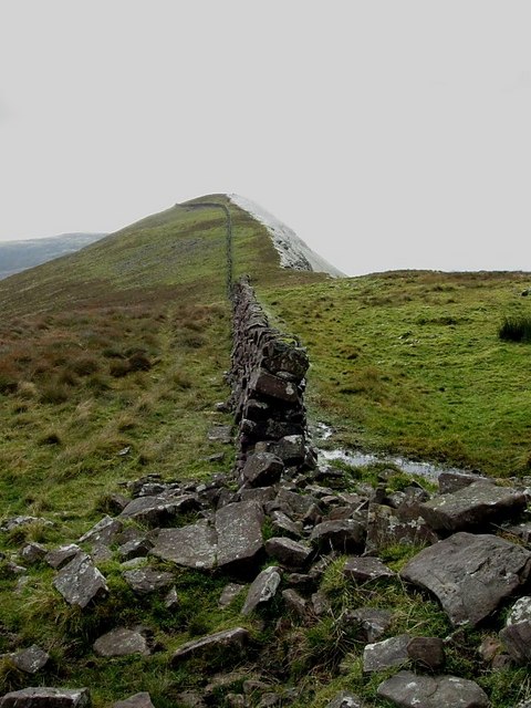 The wall on the summit | |
| Highest point | |
| Elevation | 825 m (2,707 ft)[1] |
| Prominence | 100 m (330 ft)[1] |
| Listing | Hewitt, Marilyn |
| Coordinates | 52.360427°N 8.227342°W |
| Naming | |
| English translation | fork/confluence of the horse |
| Language of name | Irish |
| Geography | |
 Lyracappul Location in Ireland | |
| Location | County Limerick, Ireland |
| Parent range | Galtee Mountains |
| OSI/OSNI grid | R878238 |
| Topo map | OSi Discovery 74 |
See also
- Lists of mountains in Ireland
- List of mountains of the British Isles by height
- List of Marilyns in the British Isles
- List of Hewitt mountains in England, Wales and Ireland
References
- "Lyracappul". MountainViews. Retrieved 2 June 2019.
External links
| British Isles |  | |
|---|---|---|
| Scotland | ||
| Outside Scotland | ||
| England | ||
| Ireland | ||
| County tops |
| |
Mountains and hills of Munster | |||||||
|---|---|---|---|---|---|---|---|
| Ballyhoura Mountains |  | ||||||
| Boggeragh Mountains | |||||||
| Caha Mountains | |||||||
| Comeragh Mountains | |||||||
| Derrynasaggart Mountains | |||||||
| Dingle Peninsula |
| ||||||
| Galty Mountains | |||||||
| Iveragh Peninsula | |||||||
| Knockmealdown Mountains | |||||||
| MacGillycuddy's Reeks |
| ||||||
| Mangerton Mountains | |||||||
| Shehy Mountains | |||||||
| Silvermine Mountains | |||||||
| Slieve Miskish Mountains | |||||||
| Others |
| ||||||
This article related to the geography of County Limerick, Ireland is a stub. You can help Wikipedia by expanding it. |
Текст в блоке "Читать" взят с сайта "Википедия" и доступен по лицензии Creative Commons Attribution-ShareAlike; в отдельных случаях могут действовать дополнительные условия.
Другой контент может иметь иную лицензию. Перед использованием материалов сайта WikiSort.org внимательно изучите правила лицензирования конкретных элементов наполнения сайта.
Другой контент может иметь иную лицензию. Перед использованием материалов сайта WikiSort.org внимательно изучите правила лицензирования конкретных элементов наполнения сайта.
2019-2026
WikiSort.org - проект по пересортировке и дополнению контента Википедии
WikiSort.org - проект по пересортировке и дополнению контента Википедии