geo.wikisort.org - Mountains
Mount Eagle (Irish: Sliabh an Iolair, meaning 'eagle mountain')[2][3] is a mountain in County Kerry, Ireland.
| Mount Eagle | |
|---|---|
| Sliabh an Iolair | |
 | |
| Highest point | |
| Elevation | 516 m (1,693 ft)[1] |
| Prominence | 461 m (1,512 ft)[1] |
| Listing | Marilyn |
| Coordinates | 52°7′4.18″N 10°25′55.41″W |
| Naming | |
| English translation | Eagle mountain |
| Language of name | Irish |
| Geography | |
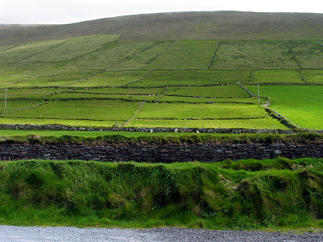
 Mount Eagle Ireland | |
| Location | County Kerry, Ireland |
| Parent range | Mountains of the Central Dingle Peninsula |
| OSI/OSNI grid | V334989 |
| Geology | |
| Mountain type | Mainly sandstone[1] |
| Climbing | |
| First ascent | ancestral |
| Easiest route | Hiking |
Geography
The mountain is part of Mountains of the Central Dingle Peninsula and is the 419th highest in Ireland.[1] Mount Eagle is located not faraway from Slea Head (Ceann Sléibhe), the most south-westerly point of the peninsula, and is connected with mount Brandon by a ridge of lower hills.[4] On the mountain's top stands a trig point.[5]
History
The mountain summit was the first European bit of land seen by Charles Lindbergh after his 1927 plane voyage across the Atlantic Ocean.[6]
Access to the summit
Mount Eagle summit can be reached with a medium walk from Ventry Harbour.[1] From the top of the mountain there is a good view of the neighbouring coast and the Blasket Islands.[5]
See also
- List of mountains in Ireland
- List of Marilyns in Ireland
References
- "Dingle West Area – Mount Eagle". MountainViews. Ordnance Survey Ireland. Retrieved 10 January 2016.
- "Sliabh an Iolair". Placenames Database of Ireland. Dublin City University. Retrieved 10 January 2016.
- Robert Archibald Armstrong (1825). A Gaelic Dictionary, in two parts. James Duncan. pp. 327. Retrieved 12 January 2016.
iolair.
- Peter Harbison (1995). Pilgrimage in Ireland: the mMonuments and the people. Syracuse University Press. ISBN 9780815603122. Retrieved 11 January 2016.
- Paddy Dillon (1999). Irish Coastal Walks. Cicerone Press Limited. ISBN 9781849652797. Retrieved 11 January 2016.
- Rick Steves, Pat O'Connor (2014). Rick Steves' Snapshot Dingle Peninsula. Avalon Travel.
External links
![]() Media related to Mount Eagle at Wikimedia Commons
Media related to Mount Eagle at Wikimedia Commons
Mountains and hills of Munster | |||||||
|---|---|---|---|---|---|---|---|
| Ballyhoura Mountains |  | ||||||
| Boggeragh Mountains | |||||||
| Caha Mountains | |||||||
| Comeragh Mountains | |||||||
| Derrynasaggart Mountains | |||||||
| Dingle Peninsula |
| ||||||
| Galty Mountains | |||||||
| Iveragh Peninsula | |||||||
| Knockmealdown Mountains | |||||||
| MacGillycuddy's Reeks |
| ||||||
| Mangerton Mountains | |||||||
| Shehy Mountains | |||||||
| Silvermine Mountains | |||||||
| Slieve Miskish Mountains | |||||||
| Others |
| ||||||
Другой контент может иметь иную лицензию. Перед использованием материалов сайта WikiSort.org внимательно изучите правила лицензирования конкретных элементов наполнения сайта.
WikiSort.org - проект по пересортировке и дополнению контента Википедии