geo.wikisort.org - River
Hornád (Slovak, pronounced [ˈɦɔrnaːt]) or Hernád (Hungarian, pronounced [ˈhɛrnaːd]) is a river in eastern Slovakia and north-eastern Hungary.

| Hornád Hernád | |
|---|---|
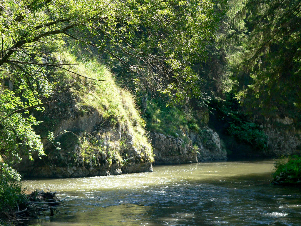 The gorge of Hornád river in Slovak Paradise | |
  Current and watershed of the Hornád River in Slovakia and Hungary | |
| Location | |
| Countries | Slovakia and Hungary |
| Physical characteristics | |
| Source | |
| • location | Kráľova hoľa hill |
| Mouth | |
• location | Sajó |
• coordinates | 47.9903°N 20.9296°E |
| Length | 286 km (178 mi) |
| Basin size | 5,436 km2 (2,099 sq mi) 5,413.5 km2 (2,090.2 sq mi)[1] |
| Discharge | |
| • location | Confluence of Sajó |
| • average | 32.16 m3/s (1,136 cu ft/s) 38.555 m3/s (1,361.6 cu ft/s)[2] |
| Basin features | |
| Progression | Sajó→ Tisza→ Danube→ Black Sea |
| Tributaries | |
| • left | Hnilec |
It is a tributary to the river Slaná (Sajo). The source of the Hornád is the eastern slopes of Kráľova hoľa hill, south of Šuňava.[3]
The river is 286 km long, with 178 km located in Slovakia, and the remaining 108 km in Hungary.[4]
Cities along its course are Spišská Nová Ves and Košice, both in Slovakia. It flows into the river Sajó (Slovak Slaná) southeast of Miskolc.[3]
Along the river are a series of six separate limestone rocky cliffs and steep slopes, which collectively make up the Site of Community Importance 'Hornádske vápence'.[5]
References
- "Rivers Network". 2020.
- "Rivers Network". 2020.
- "The Hornád River". splavujeme.sk. Retrieved 29 December 2015.
- Slovak Environmental Agency. "1 Introduction". Pilot Project PiP1: Hornád/Hernád, Integrated Revitalisation of the Hornád/Hernád River Valley. TICAD. p. 5. Retrieved 23 July 2015.
- Vadel, Ľuboš. "Phytosociological Assessment Of Site Of Community Importance Hornádske Vápence" (PDF). conferences.ukf.sk. Retrieved 2 September 2015.
Hydrography of Slovakia | ||||||||||||
|---|---|---|---|---|---|---|---|---|---|---|---|---|
| Rivers |
|  | ||||||||||
| Lakes |
| |||||||||||
| Reservoirs |
| |||||||||||
| River islands | ||||||||||||
Authority control | |
|---|---|
| General |
|
| National libraries | |
На других языках
[de] Hornád
Der Hornád (ungarisch Hernád; deutsch Hernach[2], selten Kundert[3]) ist ein 286 km langer Fluss in der Ostslowakei und im nordöstlichen Ungarn. 195 Kilometer Flusslänge verlaufen auf slowakischem Territorium.- [en] Hornád
[es] Hernád
Hernád (húngaro) u Hornád (eslovaco) es un río en Eslovaquia oriental y Hungría nororiental. Es un afluente del río Sajó, que es a su vez afluente del río Tisza. La fuente del Hornád se encuentra en las montañas del Bajo Tatra bajo la colina de Kráľova hoľa, al suroeste de Poprad. Fluye a través de las regiones eslovacas de Spiš y Abov, y el condado húngaro de Borsod-Abaúj-Zemplén. Tiene 286 km de largo, 193 km ubicados en territorio eslovaco. Las ciudades a lo largo de su curso son Spišská Nová Ves y Košice (Húngaro: Kassa), ambos en Eslovaquia y sus afluentes incluyen el río Hnilec y el Torysa. Fluye al río Sajó al sureste de Miskolc.[it] Hornád
Hornád (in slovacco; in ungherese: Hernád) è un fiume dell'Europa centrale, affluente di sinistra del Sajó, che attraversa la Slovacchia orientale e dell'Ungheria nord-orientale.[ru] Горнад
Го́рнад (словацк. Hornád, венг. Hernád) — река в Словакии и Венгрии, приток Шайо. Длина реки составляет 286 км[1], из них 193 км река протекает по территории Словакии.[источник не указан 184 дня] Площадь бассейна реки составляет 5500 км²[1].Текст в блоке "Читать" взят с сайта "Википедия" и доступен по лицензии Creative Commons Attribution-ShareAlike; в отдельных случаях могут действовать дополнительные условия.
Другой контент может иметь иную лицензию. Перед использованием материалов сайта WikiSort.org внимательно изучите правила лицензирования конкретных элементов наполнения сайта.
Другой контент может иметь иную лицензию. Перед использованием материалов сайта WikiSort.org внимательно изучите правила лицензирования конкретных элементов наполнения сайта.
2019-2026
WikiSort.org - проект по пересортировке и дополнению контента Википедии
WikiSort.org - проект по пересортировке и дополнению контента Википедии