geo.wikisort.org - Reservoir
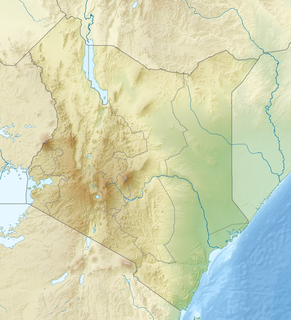
Lake Elmenteita is a soda lake, in the Great Rift Valley, about 120 km northwest of Nairobi, Kenya.[2]
| Lake Elmenteita | |
|---|---|
 | |
 Lake Elmenteita  Lake Elmenteita | |
| Coordinates | 0°27′S 36°15′E |
| Basin countries | Kenya |
| Surface area | 18 km2 (6.9 sq mi) |
| Surface elevation | 1,670 m (5,480 ft) ASL |
Ramsar Wetland | |
| Designated | 5 September 2005 |
| Reference no. | 1498[1] |
Geography

Elmenteita is derived from the Maasai word muteita, meaning "dust place", a reference to the dryness and dustiness of the area, especially between January and March. The town of Gilgil is near the lake. In the south-to-north sequence of Rift Valley lakes, Elmenteita is between Lake Naivasha and Lake Nakuru. The major Nairobi-Nakuru highway (A104 Road) runs along the nearby escarpment affording motorists a spectacular vista towards the lake. Today the lake is a protected area due to its bird life, and has been named as an UNESCO heritage site together with Lake Nakuru and Lake Bogoria.
At the southern end of the lake are the "Kekopey" hot springs, in which an introduced fish, the Lake Magadi tilapia, breed. The reed beds nearby are fishing grounds for night herons and pelicans.

History
The Lake Elmenteita area saw its first white settlement when Lord Delamere (1879-1931) established Soysambu, a 190-square-kilometre (48,000-acre) ranch, on the western side of the lake. Delamere gifted the land on the other side of the lake to his brother-in-law, the Honorable Galbraith Lowry Egerton Cole (1881-1929), part of whose "Kekopey Ranch", where he is buried, is preserved today as the Lake Elementaita Lodge.
Soysambu ranch is still occupied by Lord Delamere's descendants, including the controversial[why?] Thomas Cholmondeley who has been instrumental in setting up the Soysambu conservancy. The conservancy covers 2/3 of the shoreline and is home to over 12000 wild animals.
Lake Elmenteita has been a Ramsar site since 2005.[3]
Ecology
Over 400 bird species have been recorded in the Lake Nakuru/Lake Elmenteita basin. Elmenteita attracts visiting flamingoes, both the greater and lesser varieties, which feed on the lake's crustacean and insect larvae and on its suspended blue-green algae, respectively. Lake Magadi tilapia were introduced to the lake from Lake Magadi in 1962 and since that time the flamingo population has dwindled considerably. The tilapia attract many fish-eating birds that also feed upon the flamingo eggs and chicks. Over a million birds that formerly bred at Elmenteita are now said to have sought refuge at Lake Natron in Tanzania.
The lake's shores are grazed by zebra, gazelle, eland and families of warthog.
The lake is normally very shallow (less than 1 m deep) and bordered by trona-encrusted mudflats during the dry seasons. During the late Pleistocene and early Holocene, Lake Elmenteita was at times united with an expanded Lake Nakuru, forming a much larger dilute lake. Remnants of the former joined lake are preserved as sediments at various locations around the lake basins, including former shorelines.
Recently the lake level and number of flamingoes has receded as increased human activity has dried up catchment areas.[4]
Associated sites
Nearby is the Kariandusi Museum, at an important prehistoric site where stone handaxes and cleavers were discovered in 1928 by Louis Leakey.
Elmenteita Badlands is a lava flow to the south of the lake, covered in bush and including some spectacularly scenic peaks.
References
- "Lake Elmenteita". Ramsar Sites Information Service. Retrieved 25 April 2018.
- Scoon, Roger N. (2018), "Lakes of the Gregory Rift Valley: Baringo, Bogoria, Nakuru, Elmenteita, Magadi, Manyara and Eyasi", Geology of National Parks of Central/Southern Kenya and Northern Tanzania, Springer International Publishing, pp. 167–180, doi:10.1007/978-3-319-73785-0_15, ISBN 978-3-319-73784-3
- Peck, Dwight (17 September 2005). "Lake Elmenteita added to the Ramsar List". The Ramsar Convention on Wetlands. Archived from the original on November 14, 2008. Retrieved 2009-04-19.
- Daily Nation, December 8, 2009: A lake lies on its deathbed
На других языках
[de] Elmenteitasee
Der Elmenteitasee (Lake Elmenteita, auch Lake Elementeita oder Lake Elmentaita) ist ein stark basischer See (pH-Wert > 7) im östlichen Arm des Ostafrikanischen Grabens.- [en] Lake Elmenteita
[es] Lago Elmenteita
El lago Elmenteita o Elementaita es un lago alcalino que se encuentra en el Gran Valle del Rift, a unos 120 km al noroeste de Nairobi en Kenia. Ocupa una extensión de unos 18 km² y es uno de los lagos alcalinos que forman parte de los lagos del Gran Valle del Rift, conjunto de lagos declarados Patrimonio de la Humanidad en 2011 y es un área protegida.[fr] Lac Elmenteita
Le lac Elmenteita est un lac salé, situé dans la vallée du Grand Rift. Sa superficie est de 18 km2. Le lac est situé à 120 km au nord-ouest de Nairobi, au Kenya.[it] Lago Elmenteita
Il lago Elmenteita è un lago di soda, nella Great Rift Valley, a circa 120 km a nord-ovest di Nairobi in Kenya.[1][ru] Элментейта (озеро)
Элменте́йта[3] (Элменте́ита[3][2], Эльментейта[4], Элементейта[5], Эльментайта[6]; англ. Elmenteita[3], Elementaita) — экваториальное мелководное бессточное озеро в Восточной Африке.Другой контент может иметь иную лицензию. Перед использованием материалов сайта WikiSort.org внимательно изучите правила лицензирования конкретных элементов наполнения сайта.
WikiSort.org - проект по пересортировке и дополнению контента Википедии