geo.wikisort.org - Mountains
Mount Longonot is a stratovolcano located southeast of Lake Naivasha in the Great Rift Valley of Kenya, Africa. It is thought to have last erupted in the 1860s.[1] Its name is derived from the Maasai word Oloonong'ot, meaning "mountains of many spurs" or "steep ridges".
| Mount Longonot | |
|---|---|
 | |
| Highest point | |
| Elevation | 2,776 m (9,108 ft)[1] |
| Listing | Volcanoes in Kenya |
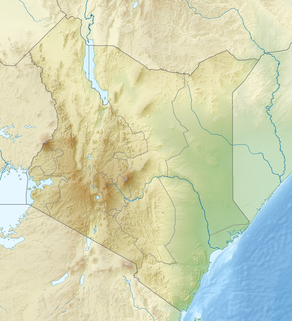
| Coordinates | 0°54′55″S 36°27′25″E |
| Naming | |
| Native name | Oloonong'ot (Masai) |
| Geography | |
 Mount Longonot Great Rift Valley, Kenya | |
| Geology | |
| Mountain type | Stratovolcano |
| Last eruption | 1863 ± 5 years[1] |
| Climbing | |
| Easiest route | Scramble |
Mount Longonot is protected by Kenya Wildlife Service as part of Mount Longonot National Park. A 3.1 km trail runs from the park entrance up to the crater rim, and continues in a 7.2 km loop encircling the crater. The whole tour (gate-around the rim-gate) of 13.5 km takes about 4–5 hours allowing for necessary rest breaks - parts of the trail are heavily eroded and very steep. The gate elevation is around 2150 m and the peak at 2776 m but following the jagged rim involves substantially more than the 630 m vertical difference.
Mount Longonot is 60 kilometres northwest of Nairobi and may be reached from there by a tarmac road. A nearby town is also named Longonot. The Longonot satellite earth station is located south of the mountain.
Geology
Longonot is a stratovolcano which contains a large 8 x 12 km caldera formed by vast eruptions of trachytic lava some 21,000 years ago. The current summit cone was developed within the earlier caldera. This cone itself is capped by a 1.8 km crater. The mountain has several parasitic cones and effusive lava eruptions occur on the flanks and within the caldera floor.[1] Periodic geodetic activity recorded at Longonot in 2004–2006 demonstrated the presence of active magmatic systems beneath this volcano.[2]
As of 2018[update], geothermal projects struggle to explore the potential.[3]
Flora and fauna
A forest of small trees covers the crater floor, and small steam vents are found spaced around the walls of the crater. The mountain is home to various species of wildlife, notably plains zebra, giraffe, Thomson's gazelle, buffaloes and hartebeest.
Notable Events
On March 21, 2009 bush fires burned up the side of the mountain and descended into the crater, trapping wildlife and feeding on drought ravaged brush.[4]


See also
References
- "Longonot". Global Volcanism Program. Smithsonian Institution. Retrieved 21 March 2021.
- Biggs, J.; Anthony, E. Y.; Ebinger, C. J. (2009). "Multiple inflation and deflation events at Kenyan volcanoes, East African Rift". Geology. 37 (11): 979. doi:10.1130/G30133A.1.
- "National Bank chairman's geothermal vehicle misses steam well drilling target". Energy Siren. 11 September 2018. Retrieved 17 March 2019.
- "Kenyan forces deployed for fires". BBC News. March 24, 2009. Retrieved May 13, 2010.
External links
This Kenya location article is a stub. You can help Wikipedia by expanding it. |
На других языках
[de] Mount Longonot
Der Mount Longonot ist ein Schichtvulkan in Kenia, der schätzungsweise zum letzten Mal in den Jahren um 1860 ausgebrochen ist. Er liegt im Großen Afrikanischen Grabenbruch südöstlich des Naivashasees. Sein Name ist auf das Massai-Wort oloonong'ot zurückzuführen, das „Berg der vielen Gebirgskämme“ oder „steile Sporen“ bedeutet.- [en] Mount Longonot
[fr] Mont Longonot
Le mont Longonot, en anglais Mount Longonot, aussi appelé Ol Longot ou Olonongot[2], est un stratovolcan du Kenya situé au sud-est du lac Naivasha, dans la vallée du Grand Rift. Couronné par une caldeira de douze kilomètres de longueur sur huit de largeur, il culmine à 2 776 mètres d'altitude[1]. Sa dernière éruption remonte aux environs de 1863[3]. Le volcan est éponyme du parc national du mont Longonot couvrant ses pentes.[ru] Лонгонот
Лонгонот[1] (англ. Longonot, Оль-Олонгот[2], Ol Olongot) — стратовулкан, расположенный к юго-востоку от озера Найваша в Великой рифтовой долине в Кении. Считается, что последний раз вулкан извергался в 1860 году[3]. Название горы происходит от масайского Oloonong’ot, что означает «горы многих отрогов» или «крутые хребты».Другой контент может иметь иную лицензию. Перед использованием материалов сайта WikiSort.org внимательно изучите правила лицензирования конкретных элементов наполнения сайта.
WikiSort.org - проект по пересортировке и дополнению контента Википедии