geo.wikisort.org - Mountains
Emuruangogolak is an active shield volcano straddling the Gregory Rift in Kenya, in Eastern Africa. It has a 3.5-by-5.0-kilometre (2.2 mi × 3.1 mi) caldera on its summit. The last known eruption was a trachyte flow which occurred in 1910.[1] Steam vents and fumarolic activity continues from fissures within the caldera and along the flanks of the volcano. Several maar lakes exist in the rift valley adjacent to the volcano.[1] The volcano's summit is at 1,285 metres (4,216 ft) elevation, and its formation is calculated to have been 38,000 years ago.[1]
| Emuruangogolak | |
|---|---|
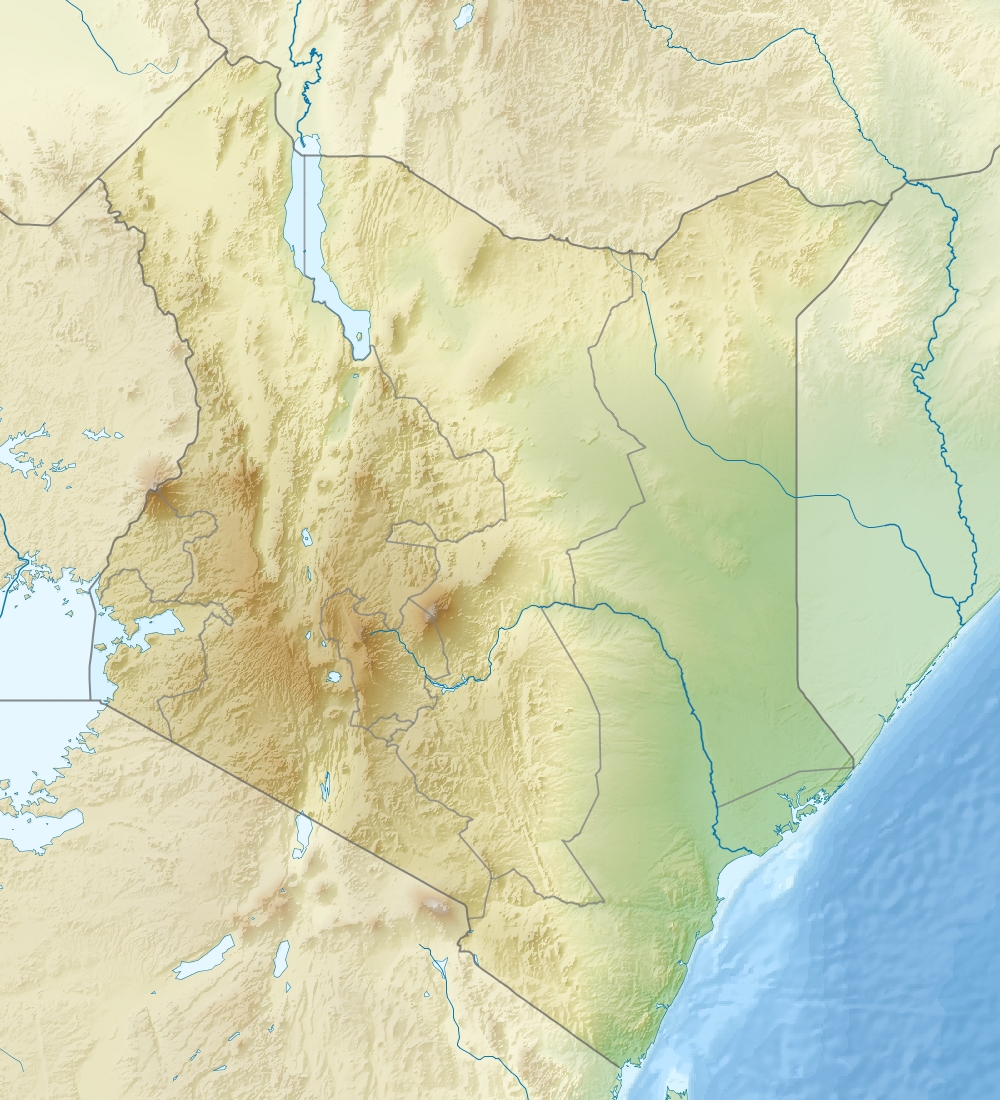 Emuruangogolak Location in Kenya | |
| Highest point | |
| Elevation | 1,285 m (4,216 ft)[1] |
| Coordinates | 1°30′N 36°20′E |
| Geography | |
| Location | Kenya |
| Geology | |
| Age of rock | Pleistocene to recent |
| Last eruption | 1910 ± 50 years |
See also
References
- "Emuruangogolak". Global Volcanism Program. Smithsonian Institution.
This Kenya location article is a stub. You can help Wikipedia by expanding it. |
Текст в блоке "Читать" взят с сайта "Википедия" и доступен по лицензии Creative Commons Attribution-ShareAlike; в отдельных случаях могут действовать дополнительные условия.
Другой контент может иметь иную лицензию. Перед использованием материалов сайта WikiSort.org внимательно изучите правила лицензирования конкретных элементов наполнения сайта.
Другой контент может иметь иную лицензию. Перед использованием материалов сайта WikiSort.org внимательно изучите правила лицензирования конкретных элементов наполнения сайта.
2019-2026
WikiSort.org - проект по пересортировке и дополнению контента Википедии
WikiSort.org - проект по пересортировке и дополнению контента Википедии