geo.wikisort.org - Reservoir
Lake Naivasha is a freshwater lake in Kenya, outside the town of Naivasha in Nakuru County, which lies north west of Nairobi. It is part of the Great Rift Valley. The name derives from the local Maasai name Nai'posha, meaning "rough water" because of the sudden storms which can arise.
| Lake Naivasha | |
|---|---|
 | |
 Lake Naivasha | |
| Coordinates | 0°46′6.70″S 36°21′2.32″E |
| Basin countries | Kenya |
| Surface area | 139 km2 (54 sq mi) |
| Average depth | 6 m (20 ft) |
| Max. depth | 30 m (98 ft) |
| Surface elevation | 1,884 m (6,181 ft) |
Ramsar Wetland | |
| Designated | 10 April 1995 |
| Reference no. | 724[1] |


Location

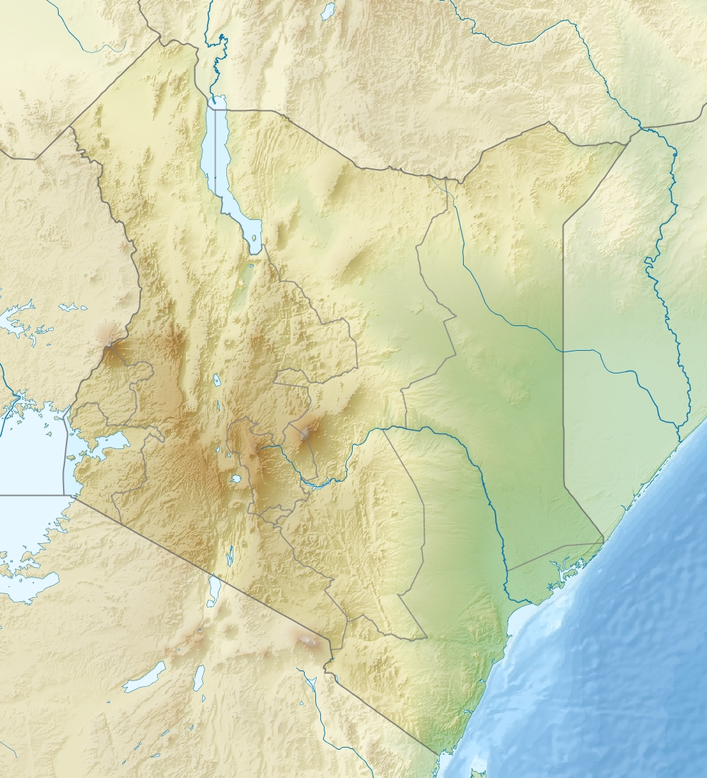
Lake Naivasha is at the highest elevation of the Kenyan Rift valley at 1,884 metres (6,181 ft) in a complex geological combination of volcanic rocks and sedimentary deposits from a larger Pleistocene Era lake. Apart from transient streams, the lake is fed by the perennial Malewa and Gilgil rivers. There is no visible outlet, but since the lake water is relatively fresh it is assumed to have an underground outflow.[2]
The lake had a normal surface area of 139 square kilometres (54 sq mi)[3] before 2010 and had increased to 198 square kilometres (76 sq mi) by 2020.[4] It is surrounded by a swamp which covers an area of 64 square kilometres (25 sq mi), but this can vary largely depending on rainfall. It is situated at an altitude of 1,884 metres (6,181 ft).[3] The lake has an average depth of 6 metres (20 ft), with the deepest area being at Crescent Island, at a maximum depth of 30 metres (98 ft).[3] Njorowa Gorge once formed the lake's outlet, but it is now high above the lake and forms the entrance to Hell's Gate National Park. The town of Naivasha (formerly East Nakuru) lies on the north-east edge of the lake.
Ecology
The lake is home to a variety of types of wildlife including over 400 different species of bird and a sizable population of hippos. The fish community in the lake has been highly variable over time, influenced by changes in climate, fishing effort and the introduction of invasive species. The most recent shift in the fish population followed the accidental introduction of common carp in 2001.[5] Nine years later, in 2010, common carp accounted for over 90% of the mass of fish caught in the lake.[6]
There are two smaller lakes in the vicinity of Lake Naivasha: Lake Oloiden and Lake Sonachi (a green crater lake). The Crater Lake Game Sanctuary lies nearby, while the lake shore is known for its population of European immigrants and settlers.
History
Between 1937 and 1950, the lake was used as a landing place for flying boats on the Imperial Airways passenger and mail route from Southampton in Britain to South Africa. It linked Kisumu and Nairobi. Joy Adamson, the author of Born Free, lived on the shores of the lake in the mid-1960s. On the shores of the lake is Oserian ("Djinn Palace"), which gained notoriety in the Happy Valley days between the two world wars. It now forms part of the Oserian flower farm. In 1999, the Lake Naivasha Riparian Association received the Ramsar Wetland Conservation Award for its conservation efforts regarding the Lake Naivasha Ramsar site.
Agriculture and Industry

Floriculture forms the main industry around the lake. However, the largely unregulated use of lake water for irrigation is reducing the level of the lake and is the subject of concern in Kenya. [7] Fishing in the lake is also another source of employment and income for the local population. The lake varies in level greatly and almost dried up entirely in the 1890s. Lake levels in general follow the rainfall pattern in the catchment area.
Lake Naivasha, once described as the Jewel in the Crown of all the East African lakes, has in recent decades been subjected to a series of devastating human pressures, not least the establishment of a vast horticulture and agriculture industry along its shorelines, but also the ever-increasing inflows of nutrients from siltation, sewage and other effluents emanating from a lakeside human population now approaching a million people.[8]
In 1981, the first geothermal plant for Lake Naivasha was commissioned and by 1985, a total of 45 MW of electricity was being generated in the area.[3]
The water level for Lake Naivasha reached a low of 0.6 m depth in 1945, but the water level rose again, with minor drops, to reach a maximum depth of nearly 6 m in 1968.[3] There was another major decline of the water level in 1987, when the depth reached 2.25 m above the lake bottom.[3] The decline of the lake water level in 1987 increased concern in the future of geothermal industry, and it was speculated that Lake Naivasha underground water might be feeding the geothermal reservoir at Olkaria.[3] Hence, the decline in the lake water would affect the future of the geothermal industry.
The surface area of the lake had increased by over 50% by 2020[4] causing many people to be displaced from the densely populated areas round the lake.[9]
References
- "Lake Naivasha". Ramsar Sites Information Service. Retrieved 25 April 2018.
- Harper, David M. (2003). Lake Naivasha, Kenya. Springer. ISBN 1-4020-1236-5.
- "THE OUTFLOW OF LAKE NAIVASHA BASED ON THE STABLE ISOTOPE COMPOSITION" (characteristics), M.K. Arusei, J. K Sanga, M.P Tole, Department of Chemistry, School of Environmental Studies, Moi University, P.O Box 3900 Eldoret, Kenya, webpage:UNEP-Moi-Arusei-PDF
- Tobiko, Keriako (2021). "Rising Water Levels in Kenya's Rift Valley Lakes, Turkwel Gorge Dam and Lake Victoria" (PDF). Kenya Government and UNDP. Retrieved 2022-03-16.
- Becht, R., Odada, E. O., & Higgins, S. (2005). Lake Naivasha: Experience and Lessons Learned Brief. Managing lakes and basins for sustainable use, a report for lake basin managers and stakeholders (pp. 277-298). Kusatsu: International Lake Environment Committee Foundation (ILEC)
- Lake Naivasha Annual Fisheries Report, 2010
- "A thorn on every rose for Kenya's flower industry". United Nations FAO. Retrieved 2010-06-20.
- "Megaceryle maxima (Pallas). African Giant Kingfisher. Alcyon géant.", The Birds of Africa, Academic Press Limited, 1988, doi:10.5040/9781472927002.0171, ISBN 978-1-4729-2700-2
- Baraka, Carey (2022-03-17). "A drowning world: Kenya's quiet slide underwater". the Guardian. Retrieved 2022-03-17.
External links
Authority control | |
|---|---|
| General |
|
| National libraries | |
На других языках
[de] Naivashasee
Der Naivashasee (Lake Naivasha) ist der höchstgelegene See im östlichen Arm des Ostafrikanischen Grabens und ebenso wie der Baringosee ein Süßwassersee, während alle weiteren Seen im Ostarm des Grabens stark alkalisch sind.- [en] Lake Naivasha
[fr] Lac Naivasha
Le lac Naivasha (du maa : Nai’posha, « eau agitée ») est un lac d'eau douce situé au Kenya, plus précisément au nord-ouest de la capitale Nairobi, près de la ville de Naivasha. Il fait partie de la vallée du Grand Rift. Il est désigné site Ramsar depuis le 10 avril 1995[1].[it] Lago Naivasha
Il lago Naivasha è un lago del Kenya situato in prossimità di Naivasha, cittadina a nord-ovest di Nairobi ricompresa nella contea di Nakuru. Si tratta di un lago d'acqua dolce; il nome deriva dal vocabolo Maasai: Nai'posha, che significa "acque turbolente", a causa delle tempeste improvvise che si possono formare.[ru] Найваша
Найваша[1] (суахили Naivasha; устар. передача Наиваша[2]) — пресноводное озеро в Кении. Находится к северо-западу от Найроби, вблизи города Найваша. Является частью цепи озёр Великой рифтовой долины. Площадь озера — 139 км²[3].Другой контент может иметь иную лицензию. Перед использованием материалов сайта WikiSort.org внимательно изучите правила лицензирования конкретных элементов наполнения сайта.
WikiSort.org - проект по пересортировке и дополнению контента Википедии