geo.wikisort.org - Reservoir
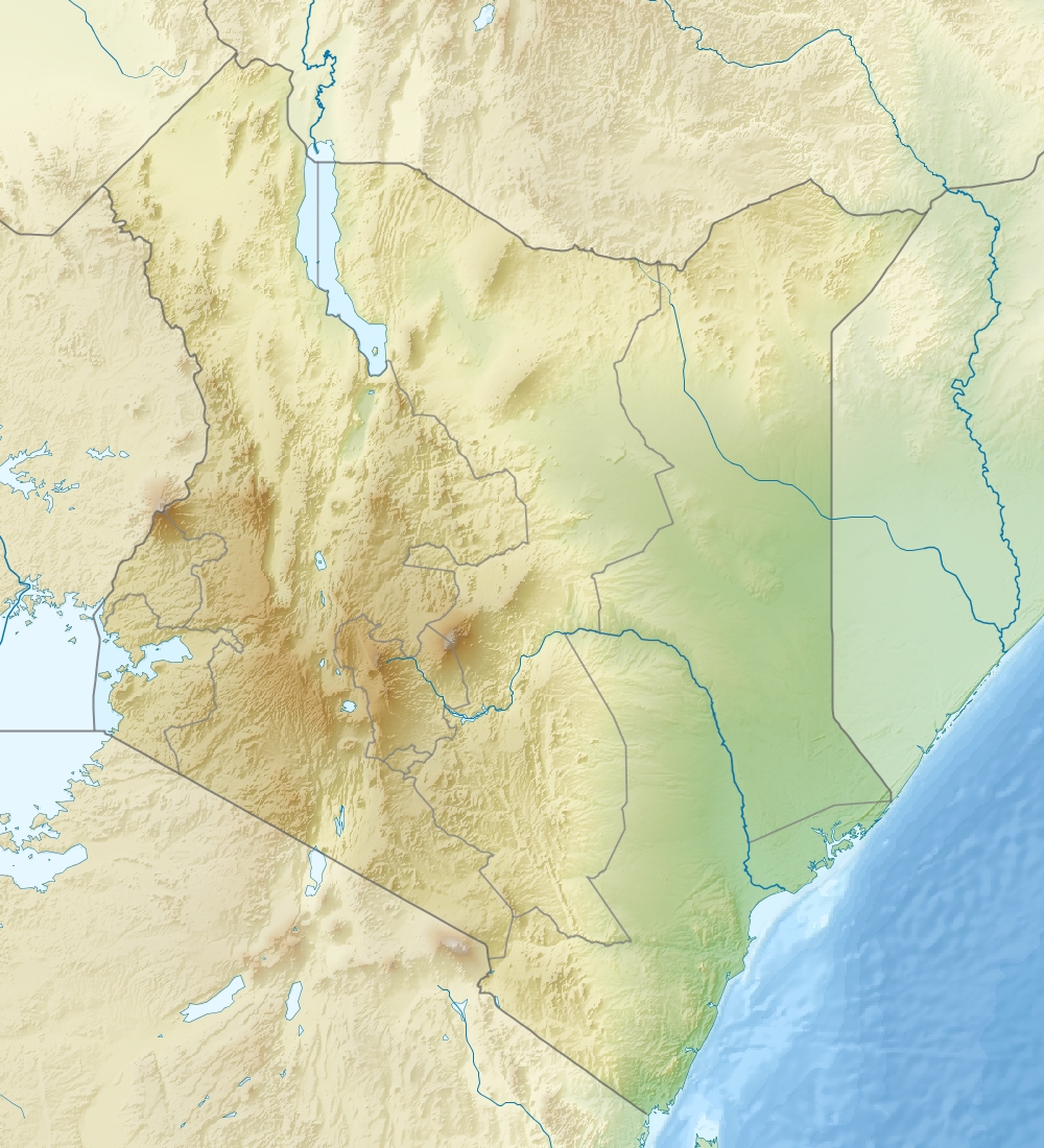
Lake Baringo is, after Lake Turkana, the most northern of the Kenyan Rift Valley lakes, with a surface area of 130 square kilometres (50 sq mi) and an elevation of 970 metres (3,180 ft). The lake is fed by several rivers: the Molo, Perkerra and Ol Arabel. It has no obvious outlet; the waters are assumed to seep through lake sediments into the faulted volcanic bedrock. It is one of the two freshwater lakes in the Rift Valley in Kenya, the other being Lake Naivasha.[2]
| Lake Baringo | |
|---|---|
 | |
 Lake Baringo  Lake Baringo | |
| Coordinates | 0°38′N 36°05′E |
| Primary inflows | Molo, Ol Arabel |
| Basin countries | Kenya |
| Surface area | 130 km2 (50 sq mi) |
| Surface elevation | 1,000 m (3,300 ft) |
Ramsar Wetland | |
| Designated | 10 January 2002 |
| Reference no. | 1159[1] |
The lake is in a remote hot and dusty area with over 470 species of birds, occasionally including migrating flamingos. A Goliath heronry is located on a rocky islet in the lake known as Gibraltar.
Description
The lake is part of the East African Rift system. The Tugen Hills, an uplifted fault block of volcanic and metamorphic rocks, lies west of the lake. The Laikipia Escarpment lies to the east.
Water flows into the lake from the Mau Hills and Tugen Hills. It is a critical habitat and refuge for more than 500 species of birds and fauna, some of the migratory waterbird species being significant regionally and globally. The lake also provides a habitat for seven fresh water fish species. One, Oreochromis niloticus baringoensis (a Nile tilapia subspecies), is endemic to the lake. Lake fishing is important to local social and economic development. Additionally the area is a habitat for many species of animals including the hippopotamus (Hippopotamus amphibius), Nile crocodile (Crocodylus niloticus) and many other mammals, amphibians, reptiles and the invertebrate communities.[2][3]
While stocks of Nile tilapia in the lake are now low, the decline of this species has been mirrored by the success of another, the marbled lungfish (Protopterus aethiopicus) which was introduced to the lake in 1974 and which now provides the majority of fish from the lake. Water levels have been reduced by droughts and over-irrigation. The lake is commonly turbid with sediment, partly due to intense soil erosion in the catchment area, especially on the Loboi Plain south of the lake.
A recent study showed that there were both positive and negative relationships between some water quality parameters and the prevalence of recovered parasites. O. niloticus baringoensis from Lake Baringo also recorded high parasite prevalence and this calls for sensitization of the public on the risks that may arise from the consumption of undercooked infected fish.[4]
The lake has several small islands, the largest being Ol Kokwe Island. Ol Kokwe, an extinct volcanic centre related to Korosi volcano north of the lake, has several hot springs and fumaroles, some of which have precipitated sulfur deposits. A group of hot springs discharge along the shoreline at Soro near the northeastern corner of the island.
Several important archaeological and palaeontological sites, some of which have yielded fossil hominoids and hominins, are present in the Miocene to Pleistocene sedimentary sequences of the Tugen Hills.[5][6][7]
The main town near the lake is Marigat, while smaller settlements include Kampi ya Samaki and Loruk. The area is increasingly visited by tourists and is situated at the southern end of a region of Kenya inhabited largely by pastoralist ethnic groups including Il Chamus, Rendille, Turkana and Kalenjin. Accommodation, (hotels, self-catering cottages and camping sites) as well as boating services are available at and near Kampi-Ya-Samaki on the western shore, as well as on several of the islands in the lake.[8]
A Kenyan Government report in 2021 estimated that the surface area of Lake Baringo had increased by over 100% to 268 square kilometres over the period 2010-2020.[9] Lakeside villages were flooded and people displaced.[10]
See also
- Rift Valley lakes
- Korosi, a volcano at the northern end of Lake Nakuru
References
- "Lake Baringo". Ramsar Sites Information Service. Retrieved 25 April 2018.
- See "Kenya designates freshwater lake in Great Rift Valley," at Ramsar 2009 - 2002.
- "Kenya Birds - baringo". www.kenyabirds.org.uk. Retrieved 2008-03-17.
- Adamba, Stephanie Wangare Kamau; Otachi, Elick Onyango; Ong’ondo, Geoffrey Odhiambo (2020-02-19). "Parasite Communities of Oreochromis niloticus baringoensis (Trewavas, 1983) in Relation to Selected Water Quality Parameters in the Springs of Lorwai Swamp and Lake Baringo, Kenya". Acta Parasitologica. 65 (2): 441–451. doi:10.2478/s11686-020-00178-2. ISSN 1230-2821. PMID 32077035. S2CID 211171158.
- Ward, Steven; Hill, Andrew (1987), "Pliocene Hominid Partial Mandible from Tabarin, Baringo, Kenya", American Journal of Physical Anthropology, 72 (1): 21–37, doi:10.1002/ajpa.1330720104, PMID 3103460 Abstract from web search Archived 2014-04-16 at the Wayback Machine
- Tugen Hills examples from Smithsonian website, Smithsonian National Museum of Natural History, retrieved 1 May 2010
- Wood, Bernard (1999), "Plio-Pleistocene hominins from the Baringo Region, Kenya", in Andrews, P.; Banham, P. (eds.), Late Cenozoic Environments and Hominid Evolution: a Tribute to Bill Bishop, London: Geological Society, pp. 113–122, ISBN 9781862390362, retrieved 1 May 2010
- "Lake Baringo". www.lake-baringo.com. Archived from the original on 2012-01-15. Retrieved 2012-02-16.
- Tobiko, Keriako (2021). "Rising Water Levels in Kenya's Rift Valley Lakes, Turkwel Gorge Dam and Lake Victoria" (PDF). Kenya Government and UNDP. Retrieved 2022-03-16.
- Baraka, Carey (2022-03-17). "A drowning world: Kenya's quiet slide underwater". the Guardian. Retrieved 2022-03-17.
- Chisholm, Hugh, ed. (1911). . Encyclopædia Britannica (11th ed.). Cambridge University Press.
![]() Media related to Lake Baringo at Wikimedia Commons
Media related to Lake Baringo at Wikimedia Commons
Authority control | |
|---|---|
| General |
|
| National libraries | |
На других языках
[de] Baringosee
Der Baringosee (Lake Baringo) ist ein See im östlichen Arm des Ostafrikanischen Grabens und ebenso wie der Naivashasee ein Süßwassersee, während alle weiteren Seen im Ostarm des Grabens stark alkalisch sind. Der Name des Sees stammt von dem Wort Mparingo, das in der Sprache des einheimischen Volkes der Ilchamus so viel wie See heißt.- [en] Lake Baringo
[fr] Lac Baringo
Le lac Baringo est le lac le plus septentrional de la vallée du Rift au Kenya, après le lac Turkana.[it] Lago Baringo
Il lago Baringo è, dopo il lago Turkana, il lago più settentrionale della Rift Valley in Kenya, ed uno dei due laghi d'acqua dolce di questa zona del Kenya; l'altro è il lago Naivasha.[1][ru] Баринго
Бари́нго (англ. Baringo)[1] — пресноводное озеро в Восточно-Африканской рифтовой долины, в то время как все другие озёра сильно щелочные. Название озера происходит от слова Mparingo, которое на языке местного населения означает озеро. В его центре находится несколько островков: Ол-Кокве (Ol Kokwe) и Самантиан (Samantian), располагают лоджами (отели для сафари) класса люкс[2].Другой контент может иметь иную лицензию. Перед использованием материалов сайта WikiSort.org внимательно изучите правила лицензирования конкретных элементов наполнения сайта.
WikiSort.org - проект по пересортировке и дополнению контента Википедии