geo.wikisort.org - Reservoir
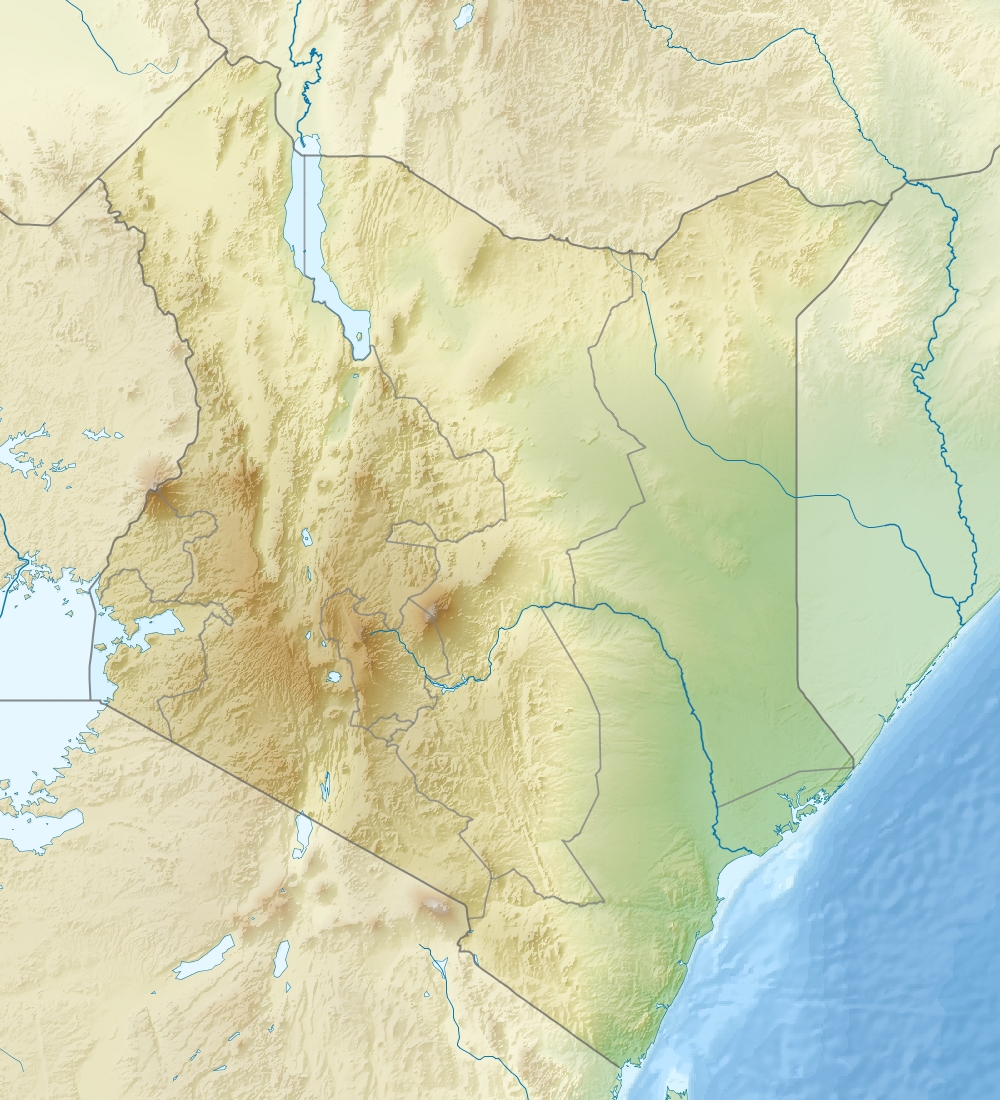
Lake Logipi is a saline, alkaline lake that lies at the northern end of the arid Suguta Valley in the northern Kenya Rift. It is separated from Lake Turkana by the Barrier volcanic complex, a group of young volcanoes that last erupted during the late 19th century or early 20th century. Saline hot springs discharge on the northern shoreline of Lake Logipi and at Cathedral Rocks near its southern limit, and help to maintain water at times of extreme aridity. During the rainy season, the lake is also recharged from the Suguta River which flows northward along the Suguta Valley, periodically forming a temporary lake (Lake Alablab) that unites with Logipi.
| Lake Logipi | |
|---|---|
 Lake Logipi  Lake Logipi | |
| Coordinates | 2°14′N 36°34′E |
| Primary inflows | hot springs |
| Basin countries | Kenya |
| Max. length | 6 km (3.7 mi) |
| Max. width | 3 km (1.9 mi) |
| Max. depth | 3–5 m (9.8–16.4 ft) |
Lake Logipi has a maximum depth of 3 to 5 m, and is about 6 km wide by 3 km long. Its waters are of sodium bicarbonate composition with a pH of 9.5-10.5 and salinity (total dissolved salts) that varies from less than 20 g/L to greater than 50 g/L. Efflorescent salt crusts (trona) are present around its margins. Flamingoes frequently inhabit the saline waters feeding on cyanobacteria (Arthrospira spp. - formerly termed Spirulina) and other plankton.[1][2]
Lake Turkana extended after extreme rainfalls in 2020 and overflowed Lake Logipi.[3]
See also
- Lake Suguta
References
- Mathea, Chege David (November 1, 2009). "OUR LAKES, OUR FUTURE" (PDF). International Lake Environment Committee Foundation. Archived from the original (PDF) on April 26, 2012. Retrieved 2011-12-29.
- Harper, David M.; Tebbs, Emma; Bell, Olivia; Robinson, Victoria J. (2016), "Conservation and Management of East Africa's Soda Lakes", Soda Lakes of East Africa, Springer International Publishing, pp. 345–364, doi:10.1007/978-3-319-28622-8_14, ISBN 978-3-319-28620-4
- "A drowning world: Kenya's quiet slide underwater". the Guardian. 2022-03-17. Retrieved 2022-03-23.
- Castanier, S., Bernet-Rollande, M.-C., Maurin, A., and Perthuisot, J.-P. 1993. Effects of microbial activity on the hydrochemistry and sedimentology of Lake Logipi, Kenya. Hydrobiologia, v. 267, p. 99-112.
This Kenya location article is a stub. You can help Wikipedia by expanding it. |
На других языках
- [en] Lake Logipi
[fr] Lac Logipi
Le lac Logipi est un lac de soude, salé situé à l'extrémité nord de la vallée de la Suguta, dans le nord du Kenya. Il est séparé du lac Turkana par un complexe volcanique, un groupe de volcans récents entré plusieurs fois en éruption à la fin du XIXe et au début du XXe siècle. Des sources d'eau chaude et salée s'écoulent dans le lac sur sa rive nord et aux environs de Cathedral Rocks, près de son extrémité méridionale, ce qui permet de maintenir un minimum de niveau d'eau en période d'extrême aridité. Durant la saison humide, le lac est alimenté par la rivière Suguta, un cours d'eau non-permanent qui coule vers le nord le long de la vallée de la Suguta, et qui forme saisonnièrement un lac temporaire, le lac Alablab, qui rejoint le Logipi.Другой контент может иметь иную лицензию. Перед использованием материалов сайта WikiSort.org внимательно изучите правила лицензирования конкретных элементов наполнения сайта.
WikiSort.org - проект по пересортировке и дополнению контента Википедии