geo.wikisort.org - Réservoir
Le lac Baringo est le lac le plus septentrional de la vallée du Rift au Kenya, après le lac Turkana.
| Lac Baringo | ||
 Le lac Baringo en août 1999. | ||
| Administration | ||
|---|---|---|
| Pays | ||
| Comté | Baringo | |
| Statut | Site Ramsar | |
| Géographie | ||
| Coordonnées | 0° 39′ 02″ N, 36° 03′ 47″ E | |
| Type | tectonique | |
| Bioclimat | aride et semi aride[1] | |
| Superficie | 168 km2[1] |
|
| Longueur | 21 km[1] | |
| Largeur | 13 km | |
| Altitude | 965 m[1] | |
| Profondeur · Maximale |
5 m |
|
| Hydrographie | ||
| Bassin versant | 6 820 km2 | |
| Alimentation | El Molo, Ol Arabel | |
| Émissaire(s) | pas d'émissaire apparent | |
| Îles | ||
| Nombre d’îles | 13 | |
| Île(s) principale(s) | Ol Kokwe Island | |
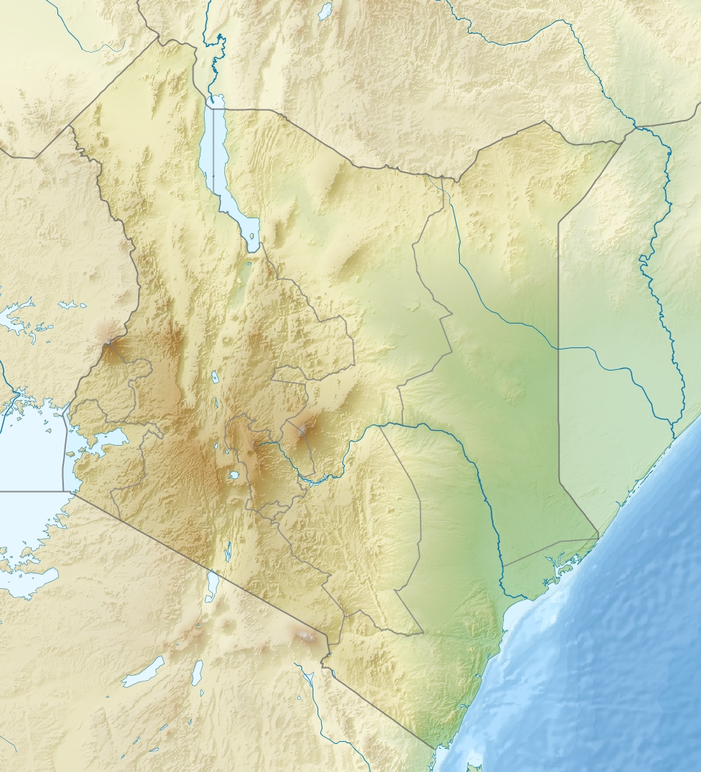
| Géolocalisation sur la carte : Kenya
| ||
| modifier |
||
Désigné site Ramsar le [2], il est en pleine expansion et menacé par les effets du réchauffement climatique.
Évolution récente
Depuis 2010, l'augmentation des précipitations a fait monter le niveau du lac Baringo de 12 m, inondant près de 9000 hectares[3] et déplaçant plusieurs milliers de personnes. Le lac est aussi menacé par l'extension du Lac Bogoria, dont les eaux salées auraient un impact catastrophique sur son écosystème[3].
Notes et références
- site de la convention de Ramsar
- (en) « Lake Baringo », sur Ramsar Sites Information Service (consulté le )
- (en) Aryn Baker et Kampi Ya Samaki, « Deep Waters », Time, 26 avril / 3 mai 2021, p. 62-71
Liens externes
- Ressource relative à la géographie :
 Portail des lacs et cours d'eau
  Portail du Kenya
На других языках
[de] Baringosee
Der Baringosee (Lake Baringo) ist ein See im östlichen Arm des Ostafrikanischen Grabens und ebenso wie der Naivashasee ein Süßwassersee, während alle weiteren Seen im Ostarm des Grabens stark alkalisch sind. Der Name des Sees stammt von dem Wort Mparingo, das in der Sprache des einheimischen Volkes der Ilchamus so viel wie See heißt.[en] Lake Baringo
Lake Baringo is, after Lake Turkana, the most northern of the Kenyan Rift Valley lakes, with a surface area of 130 square kilometres (50 sq mi) and an elevation of 970 metres (3,180 ft). The lake is fed by several rivers: the Molo, Perkerra and Ol Arabel. It has no obvious outlet; the waters are assumed to seep through lake sediments into the faulted volcanic bedrock. It is one of the two freshwater lakes in the Rift Valley in Kenya, the other being Lake Naivasha.[2]- [fr] Lac Baringo
[it] Lago Baringo
Il lago Baringo è, dopo il lago Turkana, il lago più settentrionale della Rift Valley in Kenya, ed uno dei due laghi d'acqua dolce di questa zona del Kenya; l'altro è il lago Naivasha.[1][ru] Баринго
Бари́нго (англ. Baringo)[1] — пресноводное озеро в Восточно-Африканской рифтовой долины, в то время как все другие озёра сильно щелочные. Название озера происходит от слова Mparingo, которое на языке местного населения означает озеро. В его центре находится несколько островков: Ол-Кокве (Ol Kokwe) и Самантиан (Samantian), располагают лоджами (отели для сафари) класса люкс[2].Текст в блоке "Читать" взят с сайта "Википедия" и доступен по лицензии Creative Commons Attribution-ShareAlike; в отдельных случаях могут действовать дополнительные условия.
Другой контент может иметь иную лицензию. Перед использованием материалов сайта WikiSort.org внимательно изучите правила лицензирования конкретных элементов наполнения сайта.
Другой контент может иметь иную лицензию. Перед использованием материалов сайта WikiSort.org внимательно изучите правила лицензирования конкретных элементов наполнения сайта.
2019-2026
WikiSort.org - проект по пересортировке и дополнению контента Википедии
WikiSort.org - проект по пересортировке и дополнению контента Википедии