geo.wikisort.org - Mountains
Lesser Khingan (Chinese: 小兴安岭; pinyin: Xiǎo Xīng'ān Lǐng; Russian: Малый Хинган, Maly Khingan) is a mountain range in China's Heilongjiang province and the adjacent parts of Russia's Amur Oblast and Jewish Autonomous Oblast.[3]
| Lesser Khingan | |
|---|---|
| 小兴安岭 / Малый Хинган | |
 Larch taiga on the slopes of the Lesser Khingan | |
| Highest point | |
| Peak | Pingdingshan |
| Elevation | 1,429 m (4,688 ft) |
| Coordinates | 48°47′30″N 127°12′30″E[1] |
| Dimensions | |
| Length | 500 km (310 mi) SW/NE |
| Width | 70 km (43 mi) NW/SE |
| Geography | |
 Location in Heilongjiang | |
| Country | China and Russia |
| Federal subject |
|
| Range coordinates | 48°30′N 130°0′E[2] |
| Geology | |
| Type of rock | Conglomerate, basalt |
| Climbing | |
| Easiest route | From Hegang or Birobidzhan |
In Russia, the range is part of the Khingan Nature Reserve.
Geography
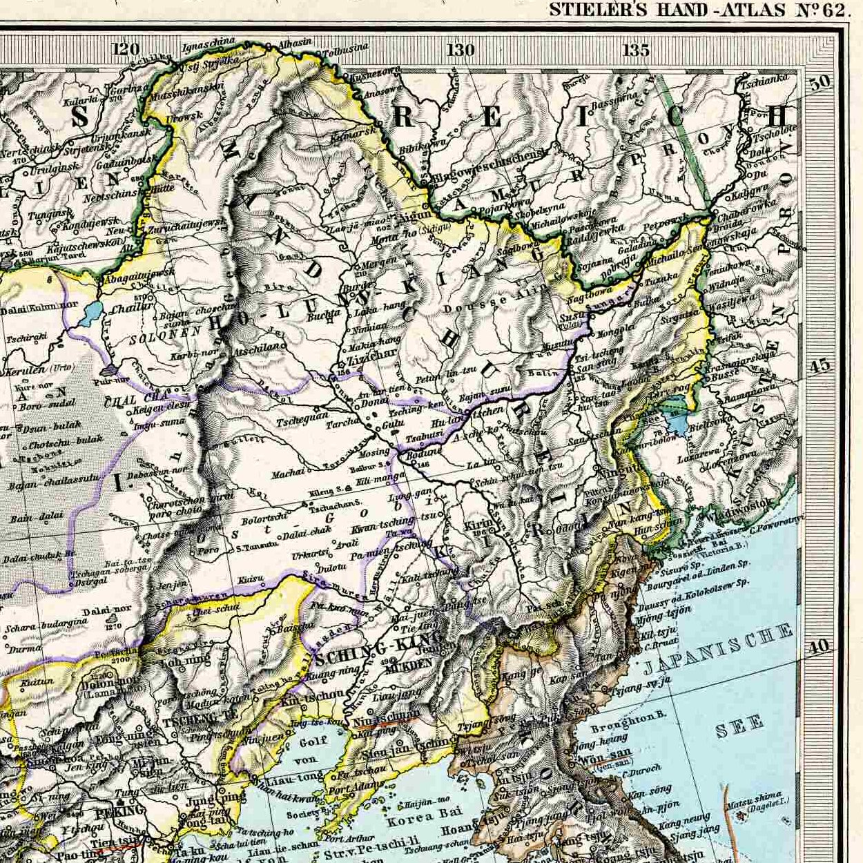
In China, the Khingan mountains are divided into the Greater Khingan and Lesser Khingan. The Lesser Khingan range runs roughly from the northwest to the southeast and separates the valley of the Amur (Heilongjiang) River from that of the Nenjiang River. The mountain range then turns toward the east and north-east, entering Russia.[4] The Amur/Heilongjiang, which is a border river, forms a gorge when crossing the mountain range.
See also
- Khingan Nature Reserve
- Greater Khingan
- Xing'an
References
- Google Maps
- Google Earth
- Малый Хинган; Great Soviet Encyclopedia in 30 vols. — Ch. ed. A.M. Prokhorov. - 3rd ed. - M. Soviet Encyclopedia, 1969-1978. (in Russian)
- Еврейская автономная область - Географическое положение и рельеф
External links
 Media related to Lesser Khingan at Wikimedia Commons
Mountain ranges of China | |
|---|---|
Geography of China | |
| Northwest China | |
| Qinghai-Tibet and Southwest China | |
| Northeast China | |
| North and East China | |
| Central China | |
| South China | |
Heilongjiang topics | |
|---|---|
Harbin (capital) | |
| General |
|
| Geography | |
| Education |
|
| Visitor attractions |
|
| |
Authority control | |
|---|---|
| General |
|
| National libraries | |
| Other | |
This Heilongjiang location article is a stub. You can help Wikipedia by expanding it. |
This Russian Far East location article is a stub. You can help Wikipedia by expanding it. |
На других языках
[de] Kleines Hinggan-Gebirge
Das Kleine Hinggan-Gebirge (auch Kleiner Chingan; chinesisch .mw-parser-output .Hans{font-size:110%}小兴安岭, Pinyin Xiao Xing'an Ling, russisch Малый Хинган) erstreckt sich beginnend am Lauf des Songhua Jiang, der es vom Changbai-Bergland trennt, parallel zum Amur (Heilong Jiang) nordwestwärts durch die chinesische Provinz Heilongjiang bis in das Verwaltungsgebiet der Stadt Heihe.- [en] Lesser Khingan
[fr] Petit Khingan
Le Petit Khingan (.mw-parser-output .sep-liste{font-weight:bold}mongol : ᠪᠠᠭᠠᠬᠢᠩᠭᠠᠨ, VPMC : baga qingganu, cyrillique : Бага Хянган, MNS : Baga Khyangan ; chinois : 小兴安岭 ; pinyin : xiǎo xīngān lǐng, russe : Малый Хинган, Maly Khingan) est une chaîne de montagnes de la province du Heilongjiang, au Nord-Est de la République populaire de Chine, et de Russie, située le long du fleuve Amour, à l'est du Grand Khingan.[it] Monti Xiao Hinggan
I monti Xiao Hinggan (cinese: 大兴安岭; pinyin: Xiao Xing'an Ling; romanizzazione Wade-Giles: Hsiao Hsing-an Ling; in russo: Малый Хинган?, Malyj Chingan, ovvero "Piccolo Chingan") sono una catena montuosa della sezione nord-orientale della provincia dello Heilongjiang, nella Cina nord-orientale e parzialmente del Territorio di Chabarovsk e dell'Oblast' dell'Amur in Russia.[ru] Малый Хинган
Ма́лый Хинга́н[1] (Ильхури́-Али́нь) — горный хребет на Дальнем Востоке, на территории китайской провинции Хэйлунцзян (бо́льшая часть) и Еврейской автономной и Амурской областях России.Другой контент может иметь иную лицензию. Перед использованием материалов сайта WikiSort.org внимательно изучите правила лицензирования конкретных элементов наполнения сайта.
WikiSort.org - проект по пересортировке и дополнению контента Википедии