geo.wikisort.org - Mountains
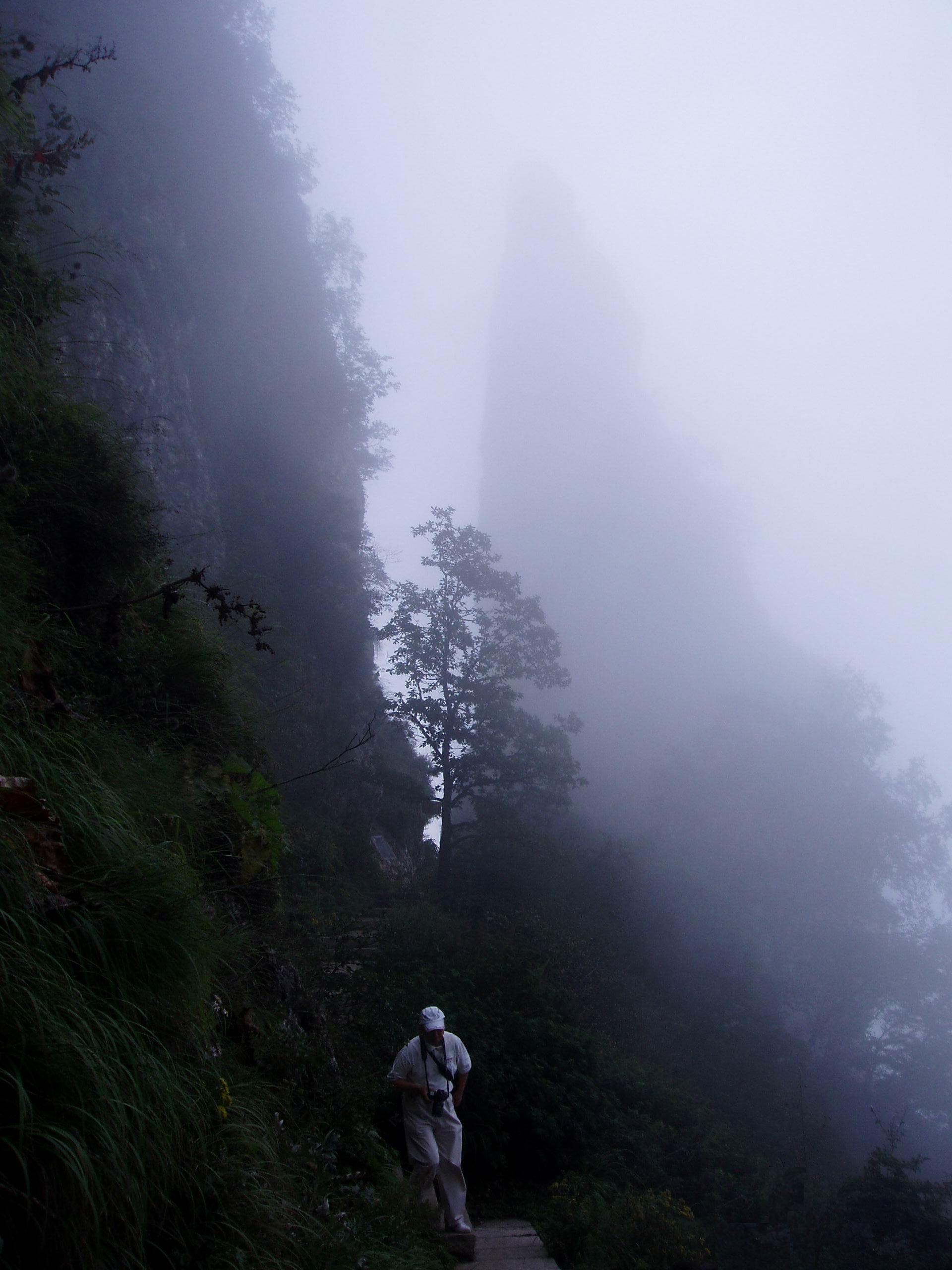
The Taihang Mountains (Chinese: 太行山; pinyin: Tàiháng Shān) are a Chinese mountain range running down the eastern edge of the Loess Plateau in Shanxi, Henan and Hebei provinces. The range extends over 400 kilometres (250 mi)[1] from north to south and has an average elevation of 1,500 to 2,000 metres (4,900 to 6,600 feet). The principal peak is Mount Xiaowutai (2,882 metres (9,455 feet)).[1] The Taihang's eastern peak is Mount Cangyan in Hebei; Baishi Mountain forms its northern tip.
This article needs additional citations for verification. (November 2012) |
| Taihang Mountains | |
|---|---|
 | |
| Highest point | |
| Peak | Mount Xiaowutai |
| Elevation | 2,882 m (9,455 ft) |
| Dimensions | |
| Length | 400 km (250 mi) |
| Geography | |
 Location in China  Taihang Mountains (China) | |
| Country | China |
| Provinces | Shanxi, Henan and Hebei |
| Range coordinates | 38°N 113°E |
The Taihang Mountains were formed during the Jurassic. Brown forest and cinnamon soils are found here.[2]
The name of Shanxi Province, meaning "west of the mountains", derives from its location west of the Taihang Mountains.[3] The name of Shandong Province (east of the mountains) originally applied to the area east of the Xiao Mountains, but by the Tang dynasty it refers to the area east of the Taihang Mountains; this entity evolved into the modern-day Shandong Province, though the actual border of the province has moved considerably to the east.[4]
The Hai River system runs through the Taihang Mountains.[2] The Red Flag Canal is located on the south edge of the Taihang Mountains.
The Shijiazhuang–Taiyuan high-speed railway crosses under the Taihang Mountains via the Taihang Tunnel, which, at almost 28 kilometres (17 mi), is the third longest railway tunnel in China.

See also
- Taihangshan Gorge of China
References
- "Shanxi | province, China". Encyclopedia Britannica. Retrieved 2021-04-01.
- "Taihang Mountains | mountains, China". Encyclopedia Britannica. Retrieved 2021-04-01.
- "山西省情概况" (in Chinese). Taiwan.cn. 6 April 2011. Retrieved 31 January 2018.
- "山东历史" (in Chinese). sdchina.com. 27 September 2009. Retrieved 31 January 2018.
Many references to this range in “Fanshen” by William Hinton, with their significance in the Chinese Socialist revolution.
External links
- "A Walk in the Taihang Mountains". Shanghai Star. 2005-03-10. Archived from the original on 2005-03-22. Retrieved 2014-01-30.
Mountain ranges of China | |
|---|---|
Geography of China | |
| Northwest China | |
| Qinghai-Tibet and Southwest China | |
| Northeast China | |
| North and East China | |
| Central China | |
| South China | |
Hebei topics | |
|---|---|
Shijiazhuang (capital) | |
| General | |
| Geography |
|
| Education |
|
| Culture |
|
| Visitor attractions |
|
| |
Henan topics | |
|---|---|
Zhengzhou (capital) | |
| General |
|
| Geography |
|
| Education |
|
| Culture |
|
| Cuisine |
|
| Visitor attractions |
|
| |
Shanxi topics | |
|---|---|
Taiyuan (capital) | |
| General | |
| Geography | |
| Education |
|
| Culture |
|
| Visitor attractions |
|
| |
Authority control | |
|---|---|
| General | |
| National libraries | |
This Chinese location article is a stub. You can help Wikipedia by expanding it. |
На других языках
[de] Taihangshan
Der Taihangshan (chinesisch .mw-parser-output .Hani{font-size:110%}太行山, Pinyin Tàiháng Shān), oder das Taihang-Gebirge ist ein Gebirge in den nordchinesischen Provinzen Shanxi und Hebei.- [en] Taihang Mountains
[es] Montes Taihang
Las Taihang léase Tái-Jang (en chino, 太行山; pinyin, Tàiháng Shan) es una cordillera en la República Popular China que recorre el borde oriental de la meseta de Loes, en las provincias de Henan, Shanxi y Hebei. La cadena se extiende más de 400 km de norte a sur y tiene una elevación promedio de 1500 a 2000 metros sobre el nivel del mar. El pico principal es el Xiao Wutaishan de 2882 m. Las montañas Cangyan, en Hebei, constituyen el extremo oriental de la cordillera de Taihang.[fr] Monts Taihang
Les monts Taihang (chinois : 太行山 ; pinyin : tàiháng shān ; litt. « grande rangée de montagnes ») sont une chaîne de montagnes chinoises dans les provinces du Henan, du Shanxi et du Hebei et en bordure du Shandong. La chaîne se prolonge sur plus de 400 kilomètres du nord au sud, avec une altitude moyenne de 1 500 à 2 000 mètres. Le sommet principal est le petit mont Wutai (小五台山) qui culmine à 2 882 mètres.[it] Monti Taihang
I monti Taihang (cinese: 太行山S, TàihángshānP, T'ai-hang ShanW), noti anche come monti Taixing (太形山S, TàixíngshānP, T'ai-hsing ShanW), sono una catena montuosa della Cina settentrionale, estesa per circa 400 km da nord a sud, che forma il confine tra le province dello Shanxi e dello Hebei e tra l'altopiano dello Shanxi e la pianura della Cina del Nord. Alcuni scrittori occidentali, in passato, hanno chiamato erroneamente questa catena «monti T'ai-hsing».[ru] Тайханшань
Тайханшань (кит. упр. 太行山, пиньинь Tàiháng Shān) — горный хребет в Китае, который находится на восточной окраине Лёссового плато в провинциях Хэнань, Шаньси и Хэбэй. Хребет простирается на 400 км с севера на юг и имеет среднюю высоту от 1500 до 2000 метров. Основной пик Сяо Утайшань (2882 метров), находится к западу от Пекина. Хребет сложен из осадочных пород, гнейсов и гранитов. Западные склоны пологие, а восточные — крутые. В горах Тайханшаня прорезан Туннель Голян.Другой контент может иметь иную лицензию. Перед использованием материалов сайта WikiSort.org внимательно изучите правила лицензирования конкретных элементов наполнения сайта.
WikiSort.org - проект по пересортировке и дополнению контента Википедии