geo.wikisort.org - Mountains
La Yeguada (also known as Chitra-Calobre) is a massive stratovolcano located in Veraguas Province, Panama, north of the Azuero Peninsula.
| La Yeguada | |
|---|---|
 La Yeguada (foreground) in 1994. Laguna La Yeguada is also visible. | |
| Highest point | |
| Elevation | 1,297 m (4,255 ft) |
| Coordinates | 8°28′12″N 80°49′12″W |
| Geography | |
 La Yeguada Panama | |
| Parent range | Serranía de Tabasará |
| Geology | |
| Mountain type | Stratovolcano |
| Last eruption | Pleistocene |
Description
De Boer et al.[1] were the first to show that La Yeguada volcano is active and part of the extension of the Central American volcanic arc in Panama. Further detailed work on the geochemistry of the lavas from La Yeguada and other volcanoes in Panama was completed by Defant et al.[2][3] They substantiated, based on geochemistry, that the lavas were derived by subduction (calc-alkaline). Radiometric dates also showed that the volcanism falls into two groups that range from 20 million years to recent. They also showed that the youngest volcanism consists primarily of adakites (partial melts from the subducted slab) whereas the older volcanism is normal calc-alkaline lavas.
The region is also home to several sorts of trees, mainly, guayacanes which are now one of the most abundant trees in the region of Azuero, the valley is also an agricultural grassland since the Laguna La Yeguada works as a natural irrigation system which prevents the region's animals and plants from dehydration.[citation needed]
The woods in the valley is where most of the Panamanian cedro wood is produced.[citation needed]
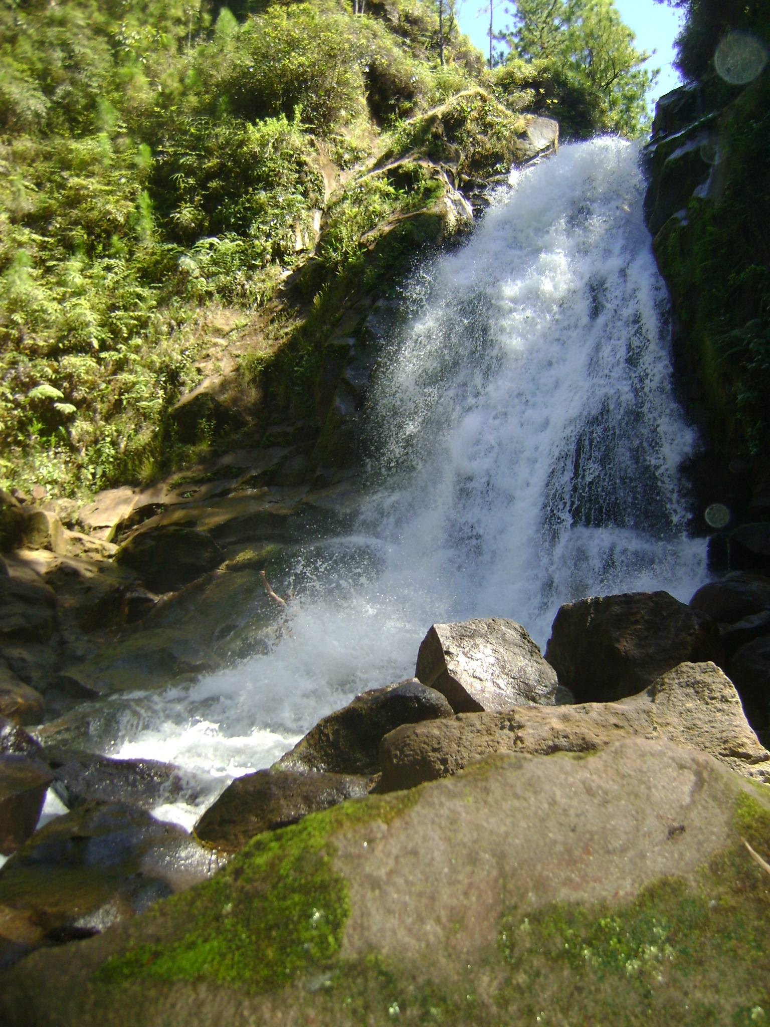
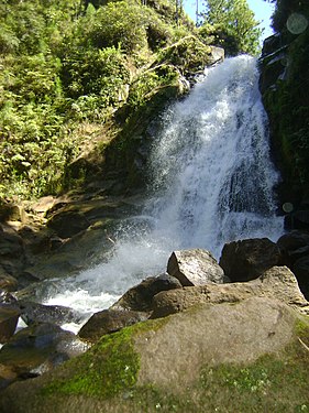 Waterfall in La Yeguada, Veraguas
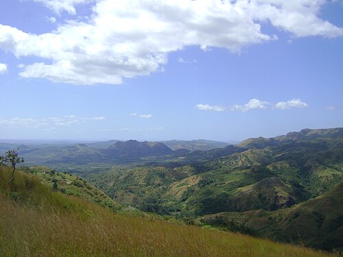 Llanura La Mochila in La Yeguada, Veraguas
 Fotografía Aérea de La Yeguada Panamá


See also
References
- de Boer, J., Defant, M.J., Stewart R. H., Restrepo, J. F., Clark, L. F., and Ramierez A. H., 1988, Quaternary calc-alkaline volcanism in western Panama: Regional variation and implication for the plate tectonic framework: J. South American Earth Sciences, v. 1, pp. 275–293.
- Defant, M. J., Richerson, P.M., de Boer, J. Z., Stewart, R. H., Maury, R. C., Bellon, H., Drummond, M. S., Feiganson, M. D., and Jackson, T. E., 1991, Dacite genesis via slab melting and differentiation: La Yeguada Volcanic Complex, Panama, J. Petrol., v. 32, pp. 1101–1142.
- Defant, M. J., Jackson, T. E., Drummond, M. S., de Boer, J. Z., Bellon, H., Feigenson, M. D., Maury, R. C., and Stewart, R.H., 1992, The geochemistry of young volcanism throughout western Panama and southeastern Costa Rica: An overview: J. Geol. Soc. Lond., v. 149, pp. 569–579.
External links
- "La Yeguada". Global Volcanism Program. Smithsonian Institution. Retrieved 28 February 2018.
| Guatemala |  | |
|---|---|---|
| El Salvador | ||
| Nicaragua | ||
| Costa Rica |
| |
| Panama |
| |
Note: volcanoes are ordered from north-west to south-east. | ||
На других языках
[de] La Yeguada
La Yeguada (auch Chitra-Calobre) ist ein 1297 m hoher Stratovulkan in der Provinz Veraguas in Panama.- [en] La Yeguada
[es] Volcán La Yeguada
El volcán La Yeguada (también conocido como Chitra-Calobre) es un complejo volcánico masivo localizado en la provincia de Veraguas, en Panamá, justo al norte de la península de Azuero.[fr] La Yeguada
La Yeguada est un stratovolcan du Panama.[ru] Ла-Егуада
Ла-Егуада (исп. La Yeguada), другое название «Читра-Калобре» (исп. Chitra-Calobre) — действующий стратовулкан в Панаме, в провинции Верагуас, к северу от полуострова Асуэро. Высота — 1297 м. Последние извержения произошли в северной части кратера приблизительно 220 000 лет назад. Но активность продолжается, на восточном склоне располагается фумарольное поле Йя, на северном — гейзеры, а у подножия — гидротермальный источник Йеджуад.Другой контент может иметь иную лицензию. Перед использованием материалов сайта WikiSort.org внимательно изучите правила лицензирования конкретных элементов наполнения сайта.
WikiSort.org - проект по пересортировке и дополнению контента Википедии