geo.wikisort.org - Mountains
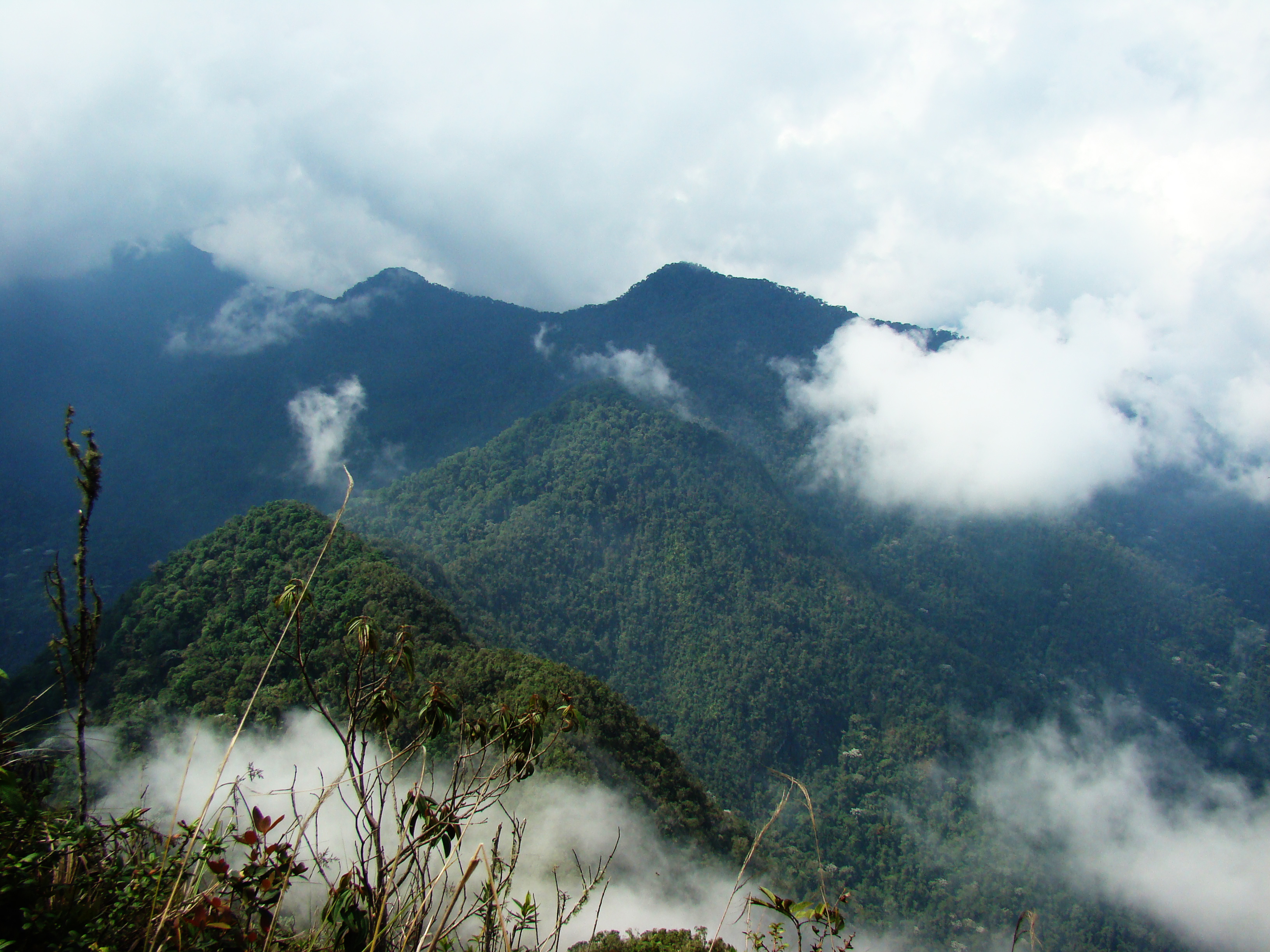
The Cordillera Occidental (English: Western Ranges) is the lowest in elevation of the three branches of the Colombian Andes. The average altitude is 2,000 m (6,600 ft) and the highest peak is Cerro Tatamá at 4,100 m (13,500 ft). The range extends from south to north dividing from the Colombian Massif in Nariño Department, passes north through Cauca, Valle del Cauca, Risaralda, Chocó, and Caldas Departments to the Paramillo Massif in Antioquia and Córdoba Departments. From this massif the range divides further to form the Serranías de Ayapel, San Jerónimo and Abibe. Only to recede into the Caribbean plain and the Sinú River valley.

This article relies largely or entirely on a single source. (May 2022) |
| Cordillera Occidental (Western Ranges) | |
|---|---|
 | |
| Highest point | |
| Peak | Cerro Tatamá[1] |
| Elevation | 4,100 m (13,500 ft) |
| Dimensions | |
| Length | 1,200 km (750 mi) north-south |
| Area | 86,239 km2 (33,297 sq mi) |
| Geography | |
| Country | Colombia |
Geography
The western part of the mountain range belongs to the Pacific region, with the San Juan River being the main watershed, while the eastern part belongs to the Cauca River basin. The northern and northwestern parts belong to the Atlantic Slope, with the Atrato and Sinú Rivers being the main watersheds. The Cordillera Occidental is separated from the coastal Baudó Mountains by the Atrato River.
Highest peaks
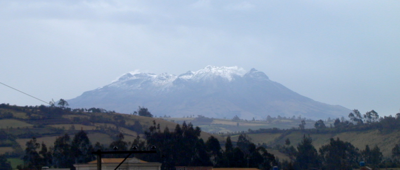
- Cerro Tatamá – 4,100 m (13,500 ft) – Chocó & Risaralda
- Azufral – 4,070 m (13,350 ft) – Nariño
- Farallones de Cali – 4,050 m (13,290 ft) – Valle del Cauca
- Farallones del Citará – 4,050 m (13,290 ft) – Antioquia
- Páramo de Frontino – 3,950 m (12,960 ft) – Antioquia
- Cerro Caramanta – 3,900 m (12,800 ft) – Antioquia, Caldas & Risaralda
- Cerro Napi – 3,860 m (12,660 ft) – Cauca
- Alto Musinga – 3,850 m (12,630 ft) – Antioquia
- Cerro Calima – 3,840 m (12,600 ft) – Valle del Cauca
- Cerro Paramillo – 3,730 m (12,240 ft) – Antioquia
- Cerro Ventana – 3,450 m (11,320 ft) – Valle del Cauca & Chocó
Protected areas
The West Andes have the following nationally protected areas from south to north:
- PNN Munchique
- PNN Farallones de Cali
- PNN Tatamá
- PNN Las Orquídeas
- PNN Paramillo
Other areas under consideration for national protection include:
- Serranía del Pinche
- Serranía de los Paraguas
Locally protected areas
- Yotoco Forest Reserve
- Bitaco River Forest Reserve
Recreation areas
See also
- Geography of Colombia
- Andean Region, Colombia
- Cordillera Central (Colombia)
- Cordillera Oriental (Colombia)
References
- "Cordillera Occidental (Colombia)". Archived from the original on 26 August 2013. Retrieved 8 August 2012.
Mountain ranges of Colombia | ||||||||||
|---|---|---|---|---|---|---|---|---|---|---|
| Colombian Andes |
|  | ||||||||
| Isolated ranges | ||||||||||
На других языках
- [en] Cordillera Occidental (Colombia)
[es] Cordillera Occidental (Colombia)
La cordillera occidental es uno de los tres ramales principales en los que se divide la cordillera de los Andes en Colombia. Se extiende en dirección sur-norte desde el nudo de los Pastos en el departamento de Nariño, hasta el nudo de Paramillo, en Antioquia y Córdoba, donde se ramifica en las serranías de Ayapel, San Jerónimo y Abibe.[2][fr] Cordillère Occidentale (Colombie)
La cordillère Occidentale est l'une des trois branches de la cordillère des Andes en Colombie, la plus proche de l'océan Pacifique. Son sommet le plus élevé est le cerro Tamaná avec 4 100 m d'altitude.[it] Cordigliera Occidentale (Colombia)
La Cordigliera Occidentale (in spagnolo: Cordillera Occidental) è uno dei tre rami principali in cui si divide la Cordigliera delle Ande in Colombia.[ru] Западная Кордильера (Колумбия)
Западная Кордильера (исп. Cordillera Occidental) — менее высокое из трёх главных ответвлений горных хребтов колумбийских Анд. Средняя высота здесь составляет около 2000 м, а высочайшая вершина достигает 4100 м. Западная Кордильера простирается с юга на север от Колумбийского массива в департаменте Нариньо, через департаменты Каука, Валье-дель-Каука, Рисаральда, Чоко и Кальдас, до массива Парамильо в департаментах Антьокия и Кордова.Другой контент может иметь иную лицензию. Перед использованием материалов сайта WikiSort.org внимательно изучите правила лицензирования конкретных элементов наполнения сайта.
WikiSort.org - проект по пересортировке и дополнению контента Википедии