geo.wikisort.org - Island
Vypin (Malayalam: വൈപ്പിന്, Cochin Portuguese: Isla Santa) is one of the group of islands that form part of the city of Kochi (Cochin), in the Indian state of Kerala. Vypin forms a barrier island which lies between the Arabian Sea in the west and the Cochin backwaters formed by the various distributaries of Periyar river, in the east. The northernmost end of the island lies on the estuary of the Periyar river in Muziris (Kodungallur), and the southernmost end in the mouth of the Cochin Backwaters in Kalamukku near Fort Vypin. The island is about 27 kilometres (17 mi) long and is connected to mainland Kochi by a series of bridges known as the Goshree bridges, which start at Kalamukku in Vypin, touch other two islands and then finish at Marine Drive covering a total distance of around three km (1.9 mi). Vypin is 58th most densely populated islands in the world. Njarakkal is one of the most densely populated locations within Vypin.
This article's lead section may be too long for the length of the article. (July 2022) |

Development
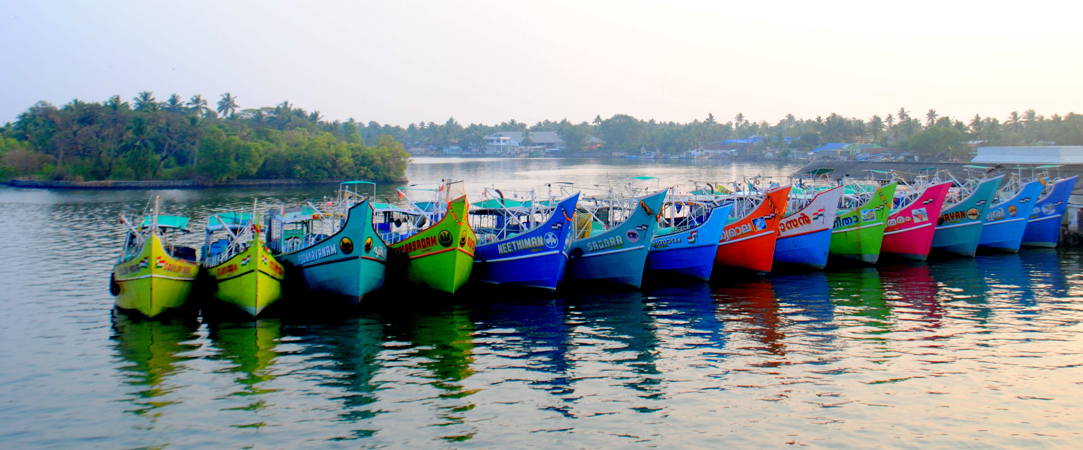
At far the northern tip of Vypin, is home to the Munambam Fishing Harbour, the largest fishing harbour in Kochi. Puthuvype has become the major industrial hub in Kerala and the fastest growing city suburb due to the SPM project run by Kochi Refineries, an offshore pumping station of Kochi Port, the Puthuvyp LNG Terminal, the IOC Bottling Plant and the proposed Oceanarium.
There are ten lighthouses in Kerala, one of which is situated at Puthuvype Beach and is the tallest in Kerala
India's first international container trans-shipment terminal (ICTT) in the Special Economic Zone at Vallarpadam Island, designed to handle the largest container ships, was opened by then Prime Minister Manmohan Singh on February 11, 2011.
There are regular boat services from Fort Kochi to Vypin Island. In 2004 a bridge was built by the Goshree Islands Development Authority (GIDA) to connect Vypin to the mainland. The Goshree bridges also connect the islands Mulavukad and Vallarpadam.
Vypin is now a fast-developing suburb of Kochi City. Today, all the basic infrastructure of modern living is available in Vypin. Travellers from North Kerala can use the Vypin–Munambam state highway to reach Ernakulam.
History
The island was formed in 1341 following a heavy flood.
Villages of Vypin
- Cherai
- Edavanakkad
- Elamkunnapuzha
- Fort Vypin
- Kuzhuppilly
- Malippuram
- Munambam
- Murikumpadam
- Nayarambalam
- Nedungad
- Njarackal
- Ochanthuruth
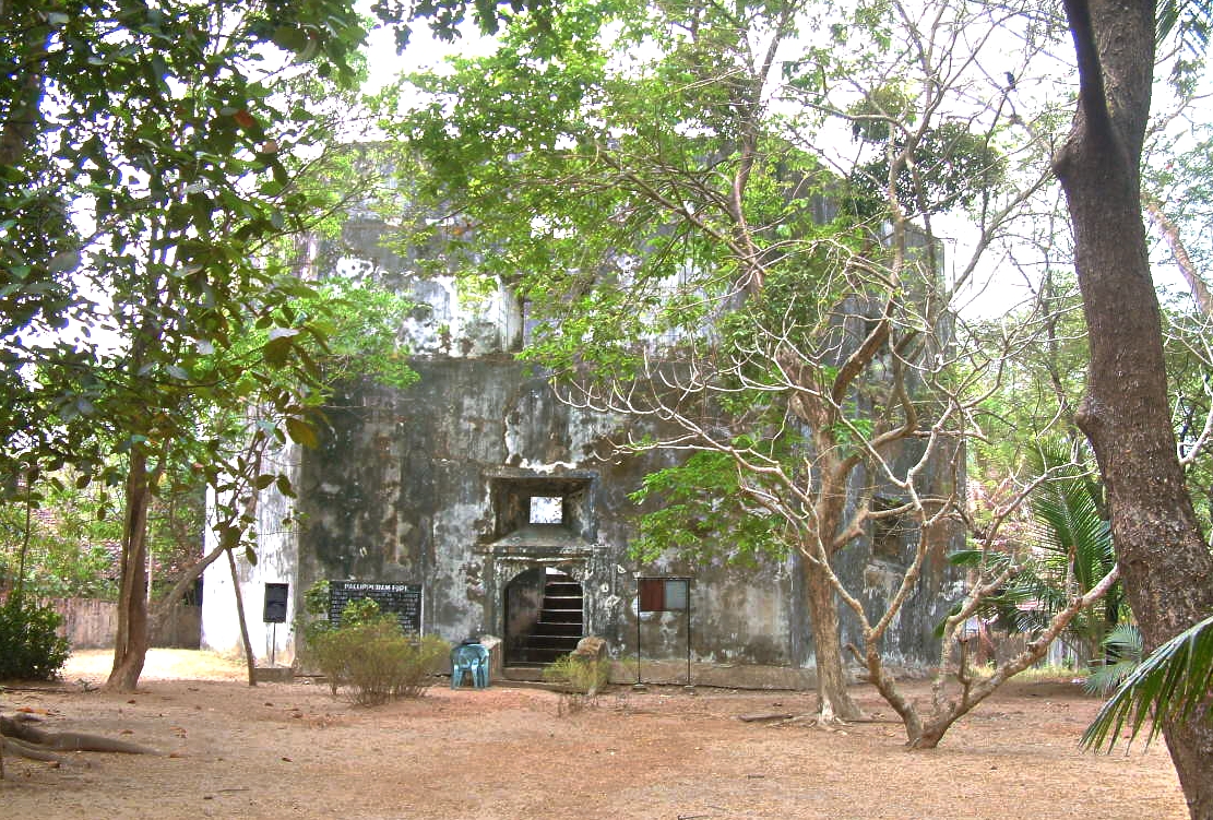
- Pallippuram
- Perumpilly
- Puthuvype
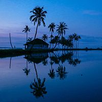 Nedungad
 Cricket at Puthyvypin Beach
 Vembanad Kayal
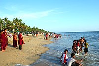 Cherai Beach
 Pallipuram Fort
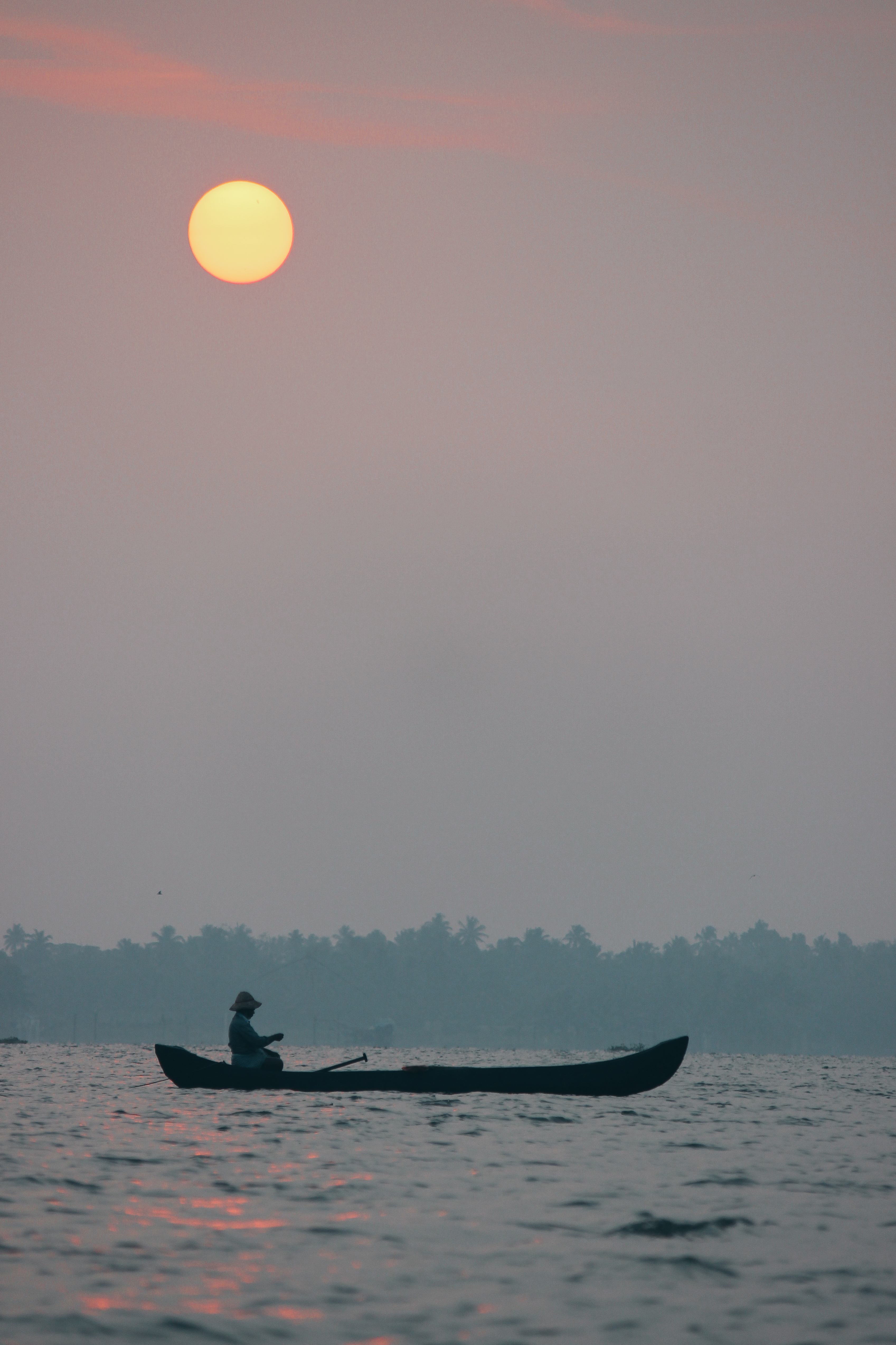
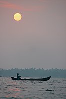 Sunrise at Veeranpuzha


See also
- 1982 Vypeen hooch tragedy
- Mulavukad Grama Panchayat
- Njarackal
External links
Areas of Kochi | ||||||||||||||||
|---|---|---|---|---|---|---|---|---|---|---|---|---|---|---|---|---|
| ||||||||||||||||
Tourism in Kerala | |
|---|---|
| Organisations |
|
| Informative articles |
|
| Airports |
|
| Amusement parks |
|
| Archaeological sites |
|
| Beaches |
|
| Boat races |
|
| Caves |
|
| Dams |
|
| Festivals |
|
| Forts |
|
| Islands |
|
| Lakes |
|
| Lighthouses | |
| Mountains |
|
| Museums |
|
| Palaces |
|
| Ancient residences |
|
| Waterfalls |
|
| Wildlife sanctuaries |
|
| Zoos |
|
| |
На других языках
- [en] Vypin
[fr] Vypin
Vypin ou Vypeen (malayalam : വൈപ്പിന്) est une île qui est rattachée administrativement à la ville de Kochi dans l'État de Kerala en Inde. Elle mesure environ 27 km de longueur et est reliée à Kochi par plusieurs ponts.Другой контент может иметь иную лицензию. Перед использованием материалов сайта WikiSort.org внимательно изучите правила лицензирования конкретных элементов наполнения сайта.
WikiSort.org - проект по пересортировке и дополнению контента Википедии