geo.wikisort.org - Reservoir
Mangalam Dam is a dam built across the river Cherukunnapuzha (a tributary of Mangalam River) in Palakkad district of Kerala, India. The dam has a capacity of 25.34 million cubic feet.[1] A canal system for irrigation purpose was completed and opened in 1966, in the Alathur taluk of Palakkad district.
This article needs additional citations for verification. (December 2018) |
| Mangalam Dam | |
|---|---|
 Mangalam Dam | |
 Location of Mangalam Dam in India 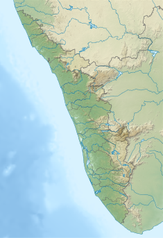 Mangalam Dam (Kerala)  Mangalam Dam (Tamil Nadu) | |
| Coordinates | 10°30′33″N 76°32′06″E |
| Dam and spillways | |
| Impounds | Cherukunnapuzha |
Geography
Most of the inhabitants come from, Perumbavoor Kottayam or Chalakkudy. There are rubber, pepper, coffee, and tapioca plantations in the area.
Mangalam dam is 16 km away from Vadakkencherry. Karimkayam, Earth Dam, Odenthode, Kunjiarpathy, Kavilupara, Vattapara, Neethipuram, Ponkandam, Kadappara, Uppumanne, Olipara, Balaswaram-V.R.T and Choorupara are also in the area.
A big landslide occurred in Kavilupara near to Odenthode during the 2007 floods. There is a thick forest in the area of Karimkayam, Odenthode, Kadappara.


See also
References
- Census of India, 1991: Palakkad. Controller of Publications. 1993. p. 23.
Tourism in Kerala | |
|---|---|
| Organisations |
|
| Informative articles |
|
| Airports |
|
| Amusement parks |
|
| Archaeological sites |
|
| Beaches |
|
| Boat races |
|
| Caves |
|
| Dams |
|
| Festivals |
|
| Forts |
|
| Islands |
|
| Lakes |
|
| Lighthouses | |
| Mountains |
|
| Museums |
|
| Palaces |
|
| Ancient residences |
|
| Waterfalls |
|
| Wildlife sanctuaries |
|
| Zoos |
|
| |
This article about a dam, floodgate or canal in India is a stub. You can help Wikipedia by expanding it. |
This article related to a location in Palakkad district, Kerala, India is a stub. You can help Wikipedia by expanding it. |
Другой контент может иметь иную лицензию. Перед использованием материалов сайта WikiSort.org внимательно изучите правила лицензирования конкретных элементов наполнения сайта.
WikiSort.org - проект по пересортировке и дополнению контента Википедии