geo.wikisort.org - Insel
Samar ist nach Luzon, Mindanao und Negros die viertgrößte Insel der Philippinen und gehört zu den Visaya-Inseln.
| Samar | ||
|---|---|---|
 | ||
| Gewässer | Philippinensee | |
| Inselgruppe | Visayas | |
| Geographische Lage | 12° 3′ N, 125° 7′ O | |
| ||
| Fläche | 13.080 km² | |
| Einwohner | 1.080.000 83 Einw./km² | |
 | ||
Sie ist 13.080 km² groß und hat rund 1,08 Millionen Einwohner. Wichtigste Wirtschaftszweige sind der Abbau von Kupfer und Eisenerz, die Fischerei und Holzwirtschaft sowie die Gewinnung von Kokosöl.
Samar wurde im Jahr 1543 vom Spanier Ruy López de Villalobos entdeckt. 1901 ereignete sich auf der Insel das Balangiga-Massaker.
Samar umfasst drei Provinzen:
- Samar im Südwesten
- Northern Samar im Norden
- Eastern Samar im Osten
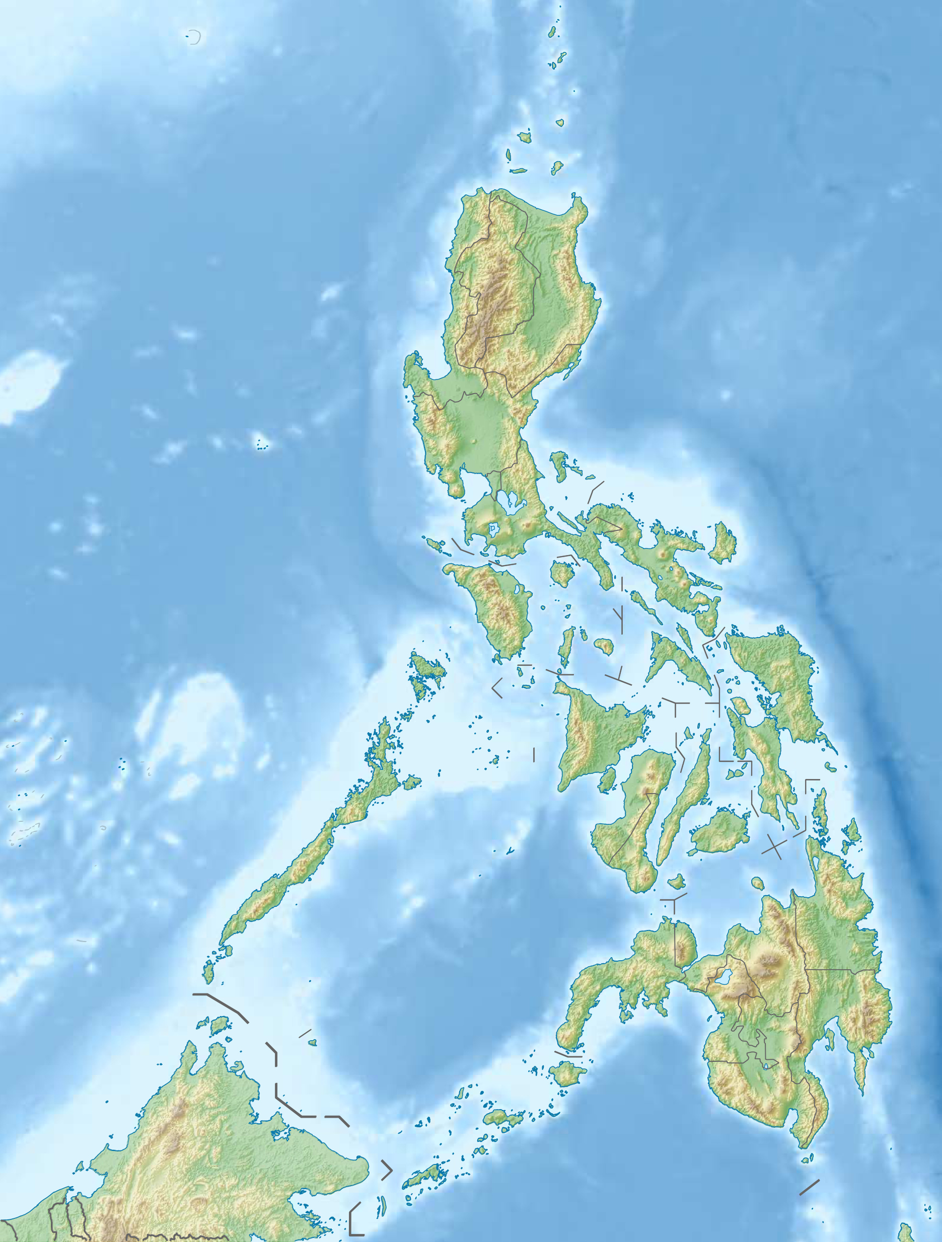
Geografie
Im Süden breitet sich der Golf von Leyte aus, im Südwesten die San-Juanico-Straße, die Samar von der Nachbarinsel Leyte trennt und in die Samar-See übergeht. Die San-Juanico-Brücke überspannt die San-Juanico-Straße.
Im Nordwesten, jenseits der San-Bernardino-Straße, befindet sich Sorsogon, die südlichste Provinz auf der Insel Luzon. Im Osten erstreckt sich die Philippinensee, die Teil des Pazifischen Ozeans ist.
Die Topographie der Insel wird bestimmt durch ein flachhügeliges Terrain, das im Zentrum bis auf 800 Meter über dem Meeresspiegel ansteigt. Der größte Fluss von Samar ist der Catubig, der im nördlichen Zentrum der Insel entspringt und in die Philippinensee mündet. Im Südosten der Insel liegt ein verkarsteter Höhenzug; in diesem liegt der Sohoton-Natural-Bridge-Nationalpark, der Teil des Samar Natural Parks ist.
Sehenswürdigkeiten
- Die Kirche La Inmaculada Concepcion steht auf der Vorschlagsliste der Philippinen zur Aufnahme in die UNESCO-Welterbeliste.
- Die Tarangban Falls, welche 40 km nördlich der Stadt Calbayog City liegen.
- Die Marian Place of Reflection. Dies ist eine von Menschenhand geschaffene Struktur in Kutay Islet in Barangay Malajog. Sein Hauptmerkmal ist die 22-Fuß-Statue von der lieben Frau vom Allerheiligsten Rosenkranz, die auf der Insel steht. Die Gegend bietet Aussicht auf den Malajog Beach, Barangay Malajog und das Samar-Meer. Es zeigt auch den Kreuzweg (auf dem die Gläubigen 49 Stufen und 50 Stufen hinunterwandern), die Krippe, die zwei Erzengel, der auferstandene Christus und eine Kapelle. Der Ort hat sich unter anderem zu einem beliebten Ort für Pre-Nuptial- und religiöse Fotoshootings entwickelt. Sie ist bei Ebbe vom Strand aus zu Fuß erreichbar.
Siehe auch
- Biodiversität der Philippinen
На других языках
- [de] Samar
[en] Samar
Samar (/ˈsɑːmɑːr/ SAH-mar) is the third-largest and seventh-most populous island in the Philippines, with a total population of 1,909,537 as of the 2020 census. It is located in the eastern Visayas, which are in the central Philippines. The island is divided into three provinces: Samar (formerly Western Samar), Northern Samar, and Eastern Samar. These three provinces, along with the provinces on the nearby islands of Leyte and Biliran, are part of the Eastern Visayas region.[es] Isla de Sámar
Sámar es una isla en las Bisayas Orientales en la República de Filipinas y es la tercera isla más grande del país. La isla, administrativamente, fue dividida el 19 de junio de 1965, mediante la Republic Act No. 4221, en tres provincias: Sámar del Norte (Northern Samar), Sámar Occidental (Western Samar) y Sámar Oriental (Eastern Samar), estableciendo Catarman, Catbalogan City y Borongan City como sus capitales respectivas.[3] Por eso el 19 de junio es un feriado local no laborable regular en dichas provincias. Estas tres provincias, junto con las provincias de las cercanas islas de Leyte y Biliran, forman parte de la región oriental de Bisayas.[fr] Samar
Samar est une île des Visayas, au centre de l'archipel des Philippines. C'est la troisième plus grande île du pays, elle compte environ 1,08 million d'habitants.[it] Isola di Samar
Samar è un'isola facente parte delle Visayas, uno dei tre raggruppamenti principali di isole in cui sono amministrativamente suddivise le Filippine, e che si trova nella parte centrale del Paese. Con una superficie di 13.080 chilometri quadrati, l'isola di Samar è la terza delle Filippine per superficie.[ru] Самар
Са́мар (вар. Samar) — один из островов центральной части Филиппинского архипелага.Другой контент может иметь иную лицензию. Перед использованием материалов сайта WikiSort.org внимательно изучите правила лицензирования конкретных элементов наполнения сайта.
WikiSort.org - проект по пересортировке и дополнению контента Википедии