geo.wikisort.org - Insel
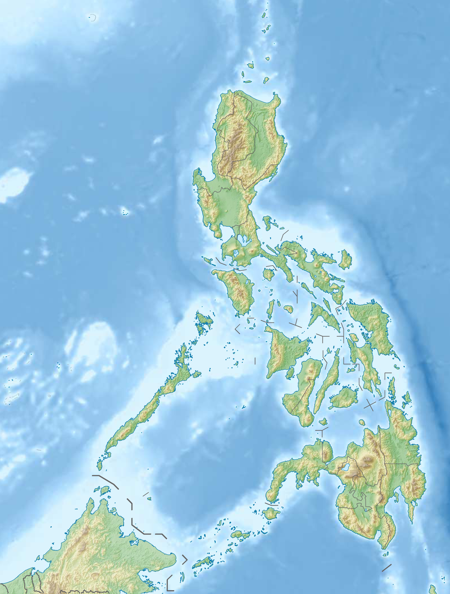
Die Babuyan-Inseln sind eine Inselgruppe, die nördlich der philippinischen Hauptinsel Luzón in der Luzonstraße liegt und zur Provinz Cagayan gehört. Die Inseln sind im Süden durch den Babuyan-Kanal von Luzón und im Norden durch den Balintang-Kanal von den Batan-Inseln getrennt.
| Babuyan-Inseln | ||
|---|---|---|
 | ||
| Gewässer | Luzonstraße | |
| Archipel | Luzon | |
| Geographische Lage | 19° 8′ N, 121° 39′ O | |
| ||
| Anzahl der Inseln | 13 | |
| Hauptinsel | Calayan Island | |
| Gesamte Landfläche | 595 km² | |
| Einwohner | 16.095 (2000) | |
 | ||
Inseln
![]() Karte mit allen Koordinaten: OSM | WikiMap
Karte mit allen Koordinaten: OSM | WikiMap
Die Inselgruppe besteht aus fünf größeren und mehreren kleineren Inseln[1].
| Inselname | Aliasname | Koordinaten | Fläche | Anmerkung |
|---|---|---|---|---|
| Calayan | 19° 19′ N, 121° 28′ O | 196,00 | ||
| Camiguin | 18° 55′ N, 121° 55′ O | 166,00 | ||
| Fuga | 18° 52′ N, 121° 23′ O | 100,00 | ||
| Babuyan | 19° 31′ N, 121° 57′ O | 74,40 | ||
| Dalupiri | 19° 06′ N, 121° 13′ O | 50,00 | ||
| Barit | 18° 52′ N, 121° 15′ O | 3,80 | ||
| Panuitan | 19° 26′ N, 121° 31′ O | 2,30 | ||
| Didicas | 19° 05′ N, 122° 12′ O | 0,70 | Vulkaninsel | |
| Mabaag | Mabag | 18° 53′ N, 121° 16′ O | 0,70 | |
| Pamuktan | 18° 54′ N, 121° 50′ O | 0,30 | ||
| Irao | 18° 59′ N, 121° 13′ O | 0,20 | ||
| Pinon | 18° 52′ N, 121° 49′ O | 0,04 | ||
| Guinapac Rocks | Dilayag | 18° 58′ N, 122° 06′ O | 0,03 | Felsengruppe |
Auf den Babuyan-Inseln liegen die vier aktiven Vulkane Camiguin de Babuyanes, Didicas, Babuyan Claro und Smith Volcano (letzter Ausbruch 1924).
Verwaltung
Zur Gemeinde Calayan, einer Stadtgemeinde in der philippinischen Provinz Cagayan, gehört der Großteil der Babuyan-Inseln. Fuga mit ihren westlich vorgelagerten Nebeninseln Barit und Mabaag gehört jedoch zur Stadt Aparri.
Geschichte
Während des Zweiten Weltkriegs wurden die Inseln 1942 von japanischen Truppen besetzt und drei Jahre später von alliierten philippinischen und amerikanischen Streitkräften zurückerobert.
Siehe auch
- Biodiversität der Philippinen
Weblinks
Einzelnachweise
- D. ALLEN, C. ESPANOLA, G. BROAD, C. OLIVEROS and J. C. T. GONZALEZ: New bird records for the Babuyan islands, Philippines, including two first records for the Philippines. FORKTAIL 22 (2006): 57–70 (Memento vom 24. September 2011 im Internet Archive)
На других языках
- [de] Babuyan-Inseln
[en] Babuyan Islands
The Babuyan Islands (/bɑːbəˈjɑːn/ bah-bə-YAHN), also known as the Babuyan Group of Islands, is an archipelago in the Philippines, located in the Luzon Strait north of the main island of Luzon and south of Taiwan via Bashi Channel to Luzon Strait. The archipelago consists of five major islands and their surrounding smaller islands. These main islands are, counterclockwise starting from northeast, Babuyan, Calayan, Dalupiri, Fuga, and Camiguin. The Babuyan Islands are separated from Luzon by the Babuyan Channel, and from the province of Batanes to the north by the Balintang Channel.[es] Islas Babuyán
Las islas Babuyán o Babuyanes son un archipiélago situado en el estrecho de Luzón en Filipinas y al norte de la isla de Luzón. Constan de cinco islas principales: la isla Babuyán, Calayán, Camiguin, Dalupiri y Fuga.[fr] Îles Babuyan
Les îles Babuyan sont un archipel des Philippines situé entre Luçon au sud et les îles Batanes au nord, dans le détroit de Luçon (mer de Chine méridionale). Elles font partie de la province de Cagayan.[it] Isole Babuyan
Le isole Babuyan sono un gruppo insulare delle Filippine che costituisce un prolungamento settentrionale dello stesso arcipelago delle Filippine. Sono situate nello stretto di Luzon, a sud delle isole Batan e del canale di Balintang. Si trovano 32 km a nord di Luzon, nel canale di Babuyan. Con una superficie totale di 600 km², comprendono 24 isole vulcanico-coralline, di cui le principali sono Babuyan, Camiguin, Calayan, Fuga e Dalupiri. Gli abitanti sono pescatori e agricoltori con forti legami culturali con gli abitanti di Luzon. La mancanza di terre coltivabili e la prevalenza di forti venti scoraggiano la coltivazione di riso o mais. Invece, le radici commestibili, in particolare le patate dolci, vi crescono benissimo; sulle isole è praticato anche un po' di allevamento del bestiame.[ru] Бабуян (архипелаг)
Бабуя́н[1][2] — архипелаг, расположенный в проливе Лусон, к северу от острова Лусон, принадлежит Филиппинам. Отделён от Лусона проливом Бабуян[zh], а от Батан[2], находящихся к северу, — проливом Балинтанг[en]. Площадь архипелага — 620 км².Другой контент может иметь иную лицензию. Перед использованием материалов сайта WikiSort.org внимательно изучите правила лицензирования конкретных элементов наполнения сайта.
WikiSort.org - проект по пересортировке и дополнению контента Википедии