geo.wikisort.org - Insel
Burias ist eine Insel in der Sibuyan-See und ist eine der drei Hauptinseln der philippinischen Provinz Masbate.
| Burias | ||
|---|---|---|
 | ||
| Gewässer | Sibuyan-See | |
| Inselgruppe | Luzon | |
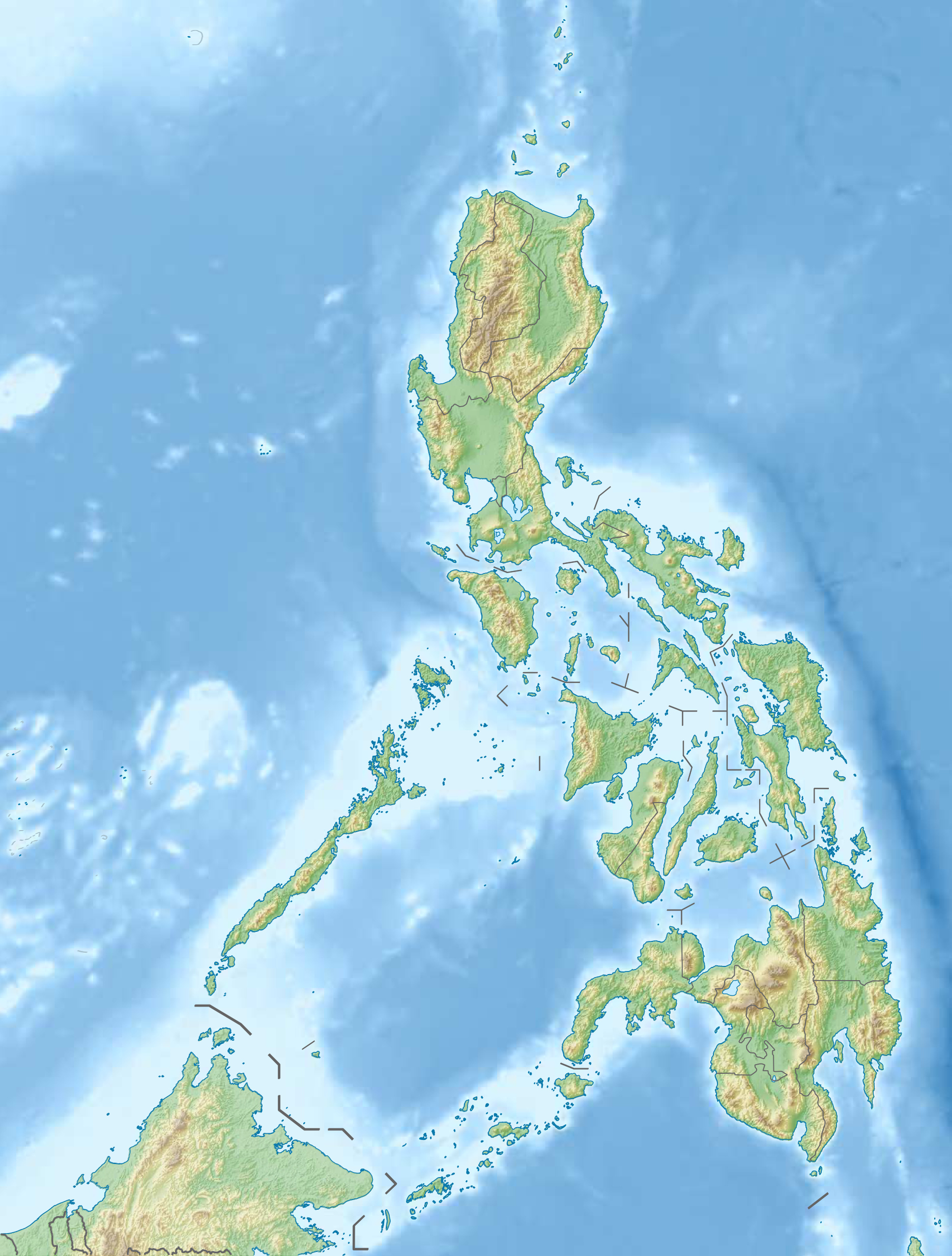
| Geographische Lage | 12° 55′ N, 123° 8′ O | |
| ||
| Fläche | 417,4 km² | |
| Höchste Erhebung | 435 m | |
| Einwohner | 76.266 (2000) 183 Einw./km² | |
Auf einer Fläche von 417,4 km²[1] lebten zur letzten Volkszählung (2000) 76.266 Einwohner.
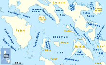
Im Süden liegt die Nachbarinsel Masbate, im Südosten Ticao. Im Norden, jenseits der Buriaspassage, befindet sich der Südostteil von Luzon.
Einzelnachweise
На других языках
- [de] Burias
[en] Burias (island)
Burias Island is one of the three major islands of Masbate province in the Philippines. It is separated from the Bicol Peninsula by the Burias Pass. The other two major islands are Ticao Island and Masbate Island. The Island has two municipalities, Claveria and San Pascual.[2][fr] Burias
Burias est l'une des trois îles majeures formant la province de Masbate aux Philippines.Текст в блоке "Читать" взят с сайта "Википедия" и доступен по лицензии Creative Commons Attribution-ShareAlike; в отдельных случаях могут действовать дополнительные условия.
Другой контент может иметь иную лицензию. Перед использованием материалов сайта WikiSort.org внимательно изучите правила лицензирования конкретных элементов наполнения сайта.
Другой контент может иметь иную лицензию. Перед использованием материалов сайта WikiSort.org внимательно изучите правила лицензирования конкретных элементов наполнения сайта.
2019-2026
WikiSort.org - проект по пересортировке и дополнению контента Википедии
WikiSort.org - проект по пересортировке и дополнению контента Википедии