geo.wikisort.org - Insel
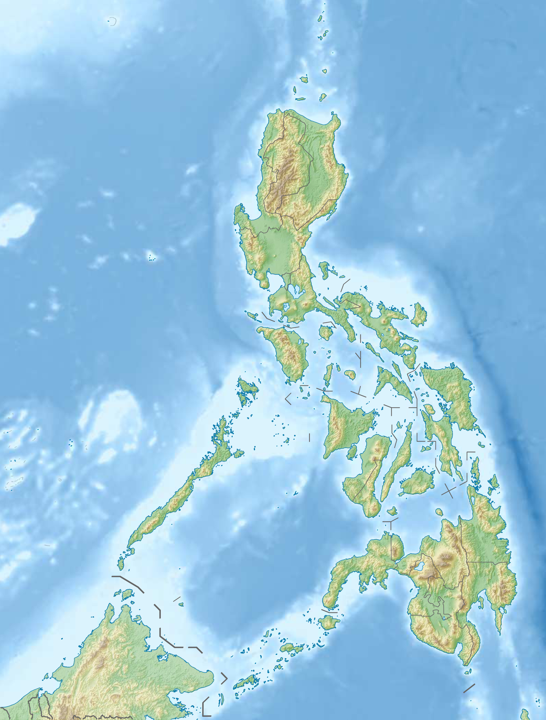
Dumaran, englisch Dumaran Island[1], ist eine philippinische Insel im Westen der Provinz Palawan in der Sulusee. Sie liegt 34,1 km vom Festland Palawans entfernt.
| Dumaran | ||
|---|---|---|
 | ||
| Gewässer | Sulusee | |
| Inselgruppe | Visayas (Philippinen) | |
| Geographische Lage | 10° 32′ N, 119° 51′ O | |
| ||
| Fläche | 322 km² | |
| Höchste Erhebung | 132 m | |
Verwaltung
Die Insel ist verwaltungstechnisch zwischen den Gemeinden Dumaran und Araceli aufgeteilt. Die Ortschaften beider Gemeinden befinden sich auf der dortigen Insel.
Einzelnachweise
- Dumaran Island. In: geonames.org. Abgerufen am 13. September 2022 (englisch).
На других языках
- [de] Dumaran (Insel)
[en] Dumaran Island
Dumaran Island is an island in the province of Palawan in the Philippines. It is around 34.1 kilometers away from the Palawan mainland and is accessible by pumpboats.[1] The island is administratively divided between the municipalities of Dumaran and Araceli. Both municipalities' poblacions are located on the island. Dumaran Channel can be found west of the island.[2] The Dalanganem islands can be found northeast of Dumaran.[3][fr] Dumaran
Dumaran est une île de la province de Palawan (Philippines) située dans la mer de Sulu. Elle est administrativement partagée entre les municipalités de Dumaran et Araceli.Текст в блоке "Читать" взят с сайта "Википедия" и доступен по лицензии Creative Commons Attribution-ShareAlike; в отдельных случаях могут действовать дополнительные условия.
Другой контент может иметь иную лицензию. Перед использованием материалов сайта WikiSort.org внимательно изучите правила лицензирования конкретных элементов наполнения сайта.
Другой контент может иметь иную лицензию. Перед использованием материалов сайта WikiSort.org внимательно изучите правила лицензирования конкретных элементов наполнения сайта.
2019-2026
WikiSort.org - проект по пересортировке и дополнению контента Википедии
WikiSort.org - проект по пересортировке и дополнению контента Википедии