geo.wikisort.org - Insel
Die Cuatro Islands[1] sind eine Inselgruppe im Südwesten der philippinischen Provinz Leyte. Die aus vier Inseln bestehende Gruppe liegt in der Camotes-See, etwa sieben Kilometer westlich des Küstenorts Inopacan auf der Insel Leyte.
| Cuatro Islands | ||
|---|---|---|
| Gewässer | Camotes-See | |
| Archipel | Visayas | |
| Geographische Lage | 10° 32′ N, 124° 39′ O | |
| ||
| Anzahl der Inseln | 4 | |
| Hauptinsel | Himokilan Island | |
| Gesamte Landfläche | 1,2 km² | |
Inseln
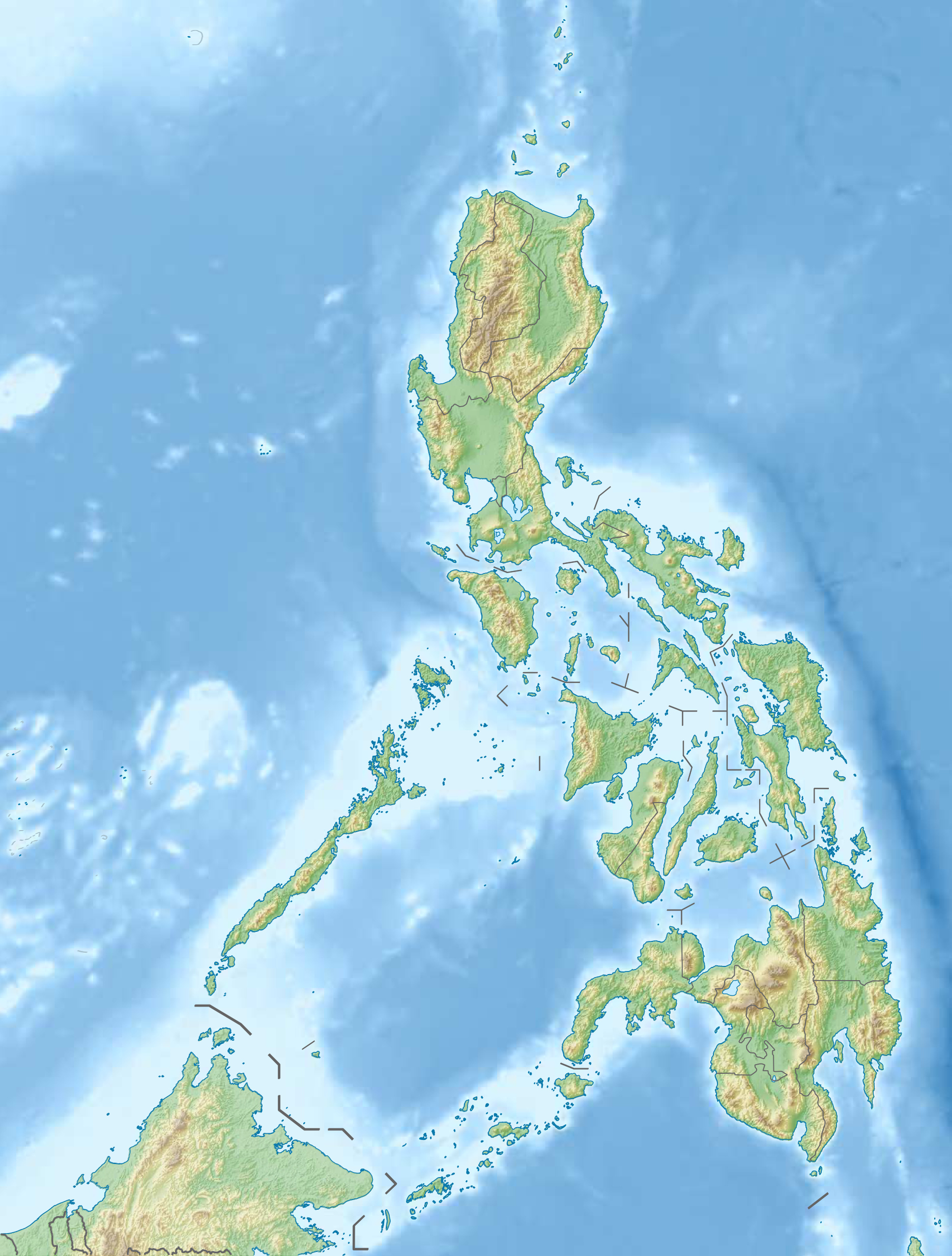
![]() Karte mit allen Koordinaten: OSM | WikiMap
Karte mit allen Koordinaten: OSM | WikiMap
| Inselname | Aliasname | Koordinaten | Fläche | Einwohner | Anmerkung |
|---|---|---|---|---|---|
| Digyo Island | 10° 33′ N, 124° 40′ O | 0,05 | ... | ||
| Apid Island | 10° 32′ N, 124° 38′ O | 0,37 | ... | ||
| Mahaba Island | 10° 31′ N, 124° 40′ O | 0,21 | ... | ||
| Himokilan Island | 10° 29′ N, 124° 40′ O | 0,55 | ... |
Einzelnachweise
На других языках
- [de] Cuatro Islands
[en] Cuatro Islas
Cuatro Islas (Spanish, meaning "Four Islands") is a group of islands belonging to the municipalities of Inopacan and Hindang, in the province of Leyte, Philippines. This group of islands is composed of Apid, Digyo and Mahaba, which belong to the administrative jurisdiction of the municipality of Inopacan, while Himokilan belongs to the administrative jurisdiction of the municipality of Hindang.Текст в блоке "Читать" взят с сайта "Википедия" и доступен по лицензии Creative Commons Attribution-ShareAlike; в отдельных случаях могут действовать дополнительные условия.
Другой контент может иметь иную лицензию. Перед использованием материалов сайта WikiSort.org внимательно изучите правила лицензирования конкретных элементов наполнения сайта.
Другой контент может иметь иную лицензию. Перед использованием материалов сайта WikiSort.org внимательно изучите правила лицензирования конкретных элементов наполнения сайта.
2019-2026
WikiSort.org - проект по пересортировке и дополнению контента Википедии
WikiSort.org - проект по пересортировке и дополнению контента Википедии