geo.wikisort.org - River
The River Wenning is a tributary of the River Lune, flowing through North Yorkshire and Lancashire.
| Wenning | |
|---|---|
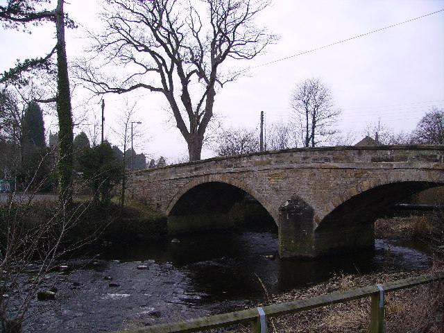 The Wenning passing The Punch Bowl in Low Bentham | |
| Basin features | |
| River system | Lune |
| Tributaries | |
| • left | Keasden Beck, River Hindburn |
The Wenning is formed from the confluence of Clapham Beck, which rises above Clapham, and Austwick Beck, which rises in Crummackdale above Austwick. It then flows westwards through High Bentham, Low Bentham and Wennington.
It joins the River Lune approximately 1 mile (1.5 km) west of Hornby.
This river's valley, together with Airedale, Wharfedale and upper Ribblesdale, make up the district of Craven.
| Rivers |  | |
|---|---|---|
| Canals | ||
| Others |
| |
Authority control | |
|---|---|
| General |
|
| National libraries | |
This Lancashire location article is a stub. You can help Wikipedia by expanding it. |
This Craven location article is a stub. You can help Wikipedia by expanding it. |
На других языках
[de] River Wenning
Der River Wenning ist ein Fluss, der in der Nähe von Clapham in North Yorkshire, England entsteht.- [en] River Wenning
Текст в блоке "Читать" взят с сайта "Википедия" и доступен по лицензии Creative Commons Attribution-ShareAlike; в отдельных случаях могут действовать дополнительные условия.
Другой контент может иметь иную лицензию. Перед использованием материалов сайта WikiSort.org внимательно изучите правила лицензирования конкретных элементов наполнения сайта.
Другой контент может иметь иную лицензию. Перед использованием материалов сайта WikiSort.org внимательно изучите правила лицензирования конкретных элементов наполнения сайта.
2019-2026
WikiSort.org - проект по пересортировке и дополнению контента Википедии
WikiSort.org - проект по пересортировке и дополнению контента Википедии