geo.wikisort.org - River
Mearley Brook is a minor river in Lancashire, England. It is approximately 4.5 miles (7.2 km) long and has a catchment area of 8.79 square miles (22.77 km2).[lower-alpha 1][1]
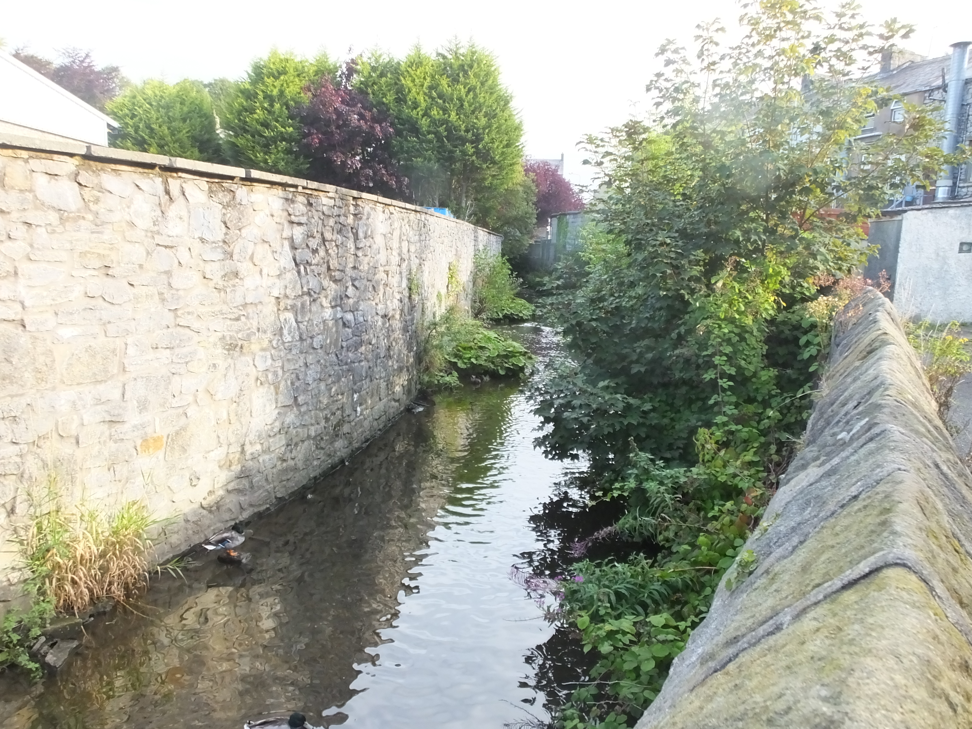
The stream rises on Pendle Hill and heads northwest, descending through Mearley Clough, passing Little Mearley Hall and crossing under the A59 Clitheroe Bypass. Close to Upbrooks Farm it is met by Worston Brook and turns to the southeast. Nearby it met by a small brook from Bracken Hey and the culvert of another at the Waterloo Bridge, as it enters the centre of Clitheroe. At the Shaw Bridge it is joined by Shaw Brook and continues to the east of the hill topped by Clitheroe Castle. In the south of the town, the river flows into the mill lodge of the old Primrose Mill and then into Pendleton Brook nearby at Lower Standen Hey, just before that river joins the River Ribble.[2]
Mearley (also the name of the civil parish where the river begins) is thought to be from the Old English mǣre lēah, meaning the meadow or clearing at the boundary.[3] Brook (OE broc) is a common name for a stream, most often found in southern and central England.[4][5]
References
| Wikimedia Commons has media related to Mearley Brook. |
Notes
- Measured using mapping website.
Citations
- "Mearley Brook". Catchment Data Explorer. Environment Agency. Retrieved 13 November 2017.
- "103" (Map). Blackburn & Burnley (C2 ed.). 1:50,000. Landranger. Ordnance Survey. 2006. ISBN 978-0-319-22829-6.
- Ekwall, Eilert (1922). The place-names of Lancashire. Manchester University Press. p. 78. OCLC 82106091.
- Ekwall, p8.
- Cara Giaimo, "Mapping the U.K.'s Many, Many Names for Streams", atlasobscura.com, retrieved 30 November 2017
| Rivers |  | |
|---|---|---|
| Canals | ||
| Others |
| |
This Lancashire location article is a stub. You can help Wikipedia by expanding it. |
На других языках
[de] Mearley Brook
Der Mearley Brook ist ein Wasserlauf in Lancashire, England. Er entsteht östlich von Clitheroe an der Westseite des Pendle Hill. Er fließt in westlicher Richtung und erreicht das Stadtgebiet von Clitheroe an der Straße Up-Brooks. Er fließt zunächst weiter in westlicher Richtung, ehe er sich beim Erreichen der A 671 road (Waterloo Road) nach Süden wendet. Er fließt in dieser Richtung bis zu seiner Mündung in den Pendleton Brook im Süden der Stadt. Vor seiner Mündung wird Wasser des Mearley Brook abgeleitet, um einen See zu bilden.- [en] Mearley Brook
Другой контент может иметь иную лицензию. Перед использованием материалов сайта WikiSort.org внимательно изучите правила лицензирования конкретных элементов наполнения сайта.
WikiSort.org - проект по пересортировке и дополнению контента Википедии