geo.wikisort.org - Mountains
Hawthornthwaite Fell is one of the larger hills in the Forest of Bowland in Lancashire, England,[1] occupying a north-facing position on the south-western range, close to Bleasdale and Fair Snape Fell. The only path to the summit comes over the hills from the south. Most of the hill is on the Duke of Westminster's land. The summit is boggy and flanked to the north by steep heather slopes. Grouse are farmed in the area and hen harriers can be seen frequently. The trig point and the remains of its foundations are no longer upright, lying horizontally pointing westward. Hawthornthwaite Fell marks the extreme western limit of the West Riding of the Historic County of York.
| Hawthornthwaite Fell | |
|---|---|
 Hawthornthwaite Fell with White Hill and Whin Fell in the distance | |
| Highest point | |
| Elevation | 479 m (1,572 ft) |
| Prominence | c. 57 m |
| Coordinates | 53°57′25″N 2°38′41″W |
| Geography | |
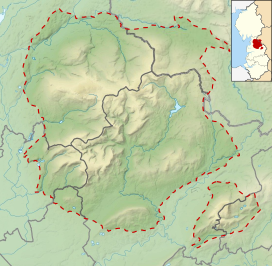 Hawthornthwaite Fell Location in the Forest of Bowland  Hawthornthwaite Fell Location in Lancashire 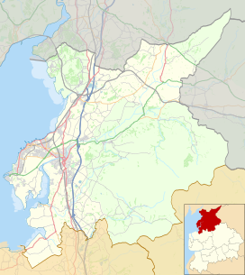 Hawthornthwaite Fell Location in the City of Lancaster district 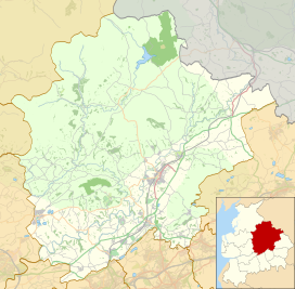 Hawthornthwaite Fell Location in Ribble Valley Borough | |
| Location | Forest of Bowland, England |
| OS grid | SD578514 |
| Topo map | OS Landranger 102 |
See also
- Langden Brook, sourced from the fell
References
- "Weekend walk: Hawthornthwaite Fell" - Lancashire Evening Post, 21 March 2019
This Lancashire location article is a stub. You can help Wikipedia by expanding it. |
На других языках
[de] Hawthornthwaite Fell
Das Hawthonthwaite Fell ist ein Berg im Forest of Bowland, Lancashire, England. Der Berg liegt südlich des Ortes Abbeystead und nördlich des Fair Snape Fell.- [en] Hawthornthwaite Fell
Другой контент может иметь иную лицензию. Перед использованием материалов сайта WikiSort.org внимательно изучите правила лицензирования конкретных элементов наполнения сайта.
WikiSort.org - проект по пересортировке и дополнению контента Википедии