geo.wikisort.org - River
Colne Water is a river in eastern Lancashire. It is approximately 5.0 miles (7.987 km) long and has a catchment area excluding its major tributaries (the River Laneshaw, Wycoller Beck, Trawden Brook and Wanless Water) of 4.47 square miles (11.584 km2).[1][2][3]
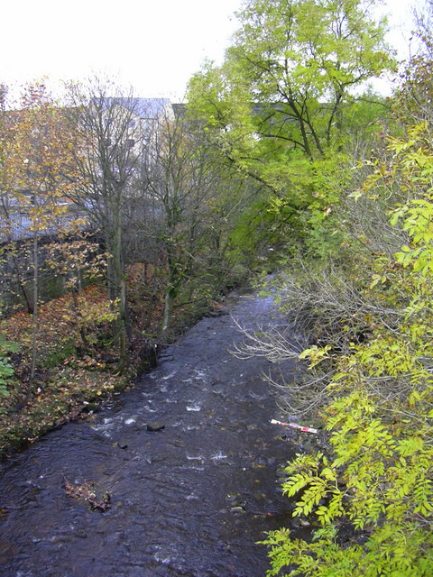
Colne Water is formed at the Covey Bridge near Laneshaw Bridge by the confluence of the River Laneshaw and Wycoller Beck. From there, the river runs in a westerly direction toward the town of Colne, collecting Trawden Brook at Cottontree. It continues through Colne's south valley, meeting Church Clough Brook in the Waterside area and passing under the East Lancashire railway line viaduct and the A56 Burnley Road at Primet Bridge. It is joined by Guy Syke at the Greenfield Bridge and passes the town's sewage works as it leaves, shortly afterwards collecting Wanless Water and then Swinden Clough just before it passes under the Leeds and Liverpool Canal. It joins Pendle Water at the Lowerford part of Barrowford, just after the M65 motorway bridge.[4]
The name Colne possibly originates from the ancient British language, but the meaning is uncertain. It is thought that the town takes its name from the river.[5] Water (OE wæter) is a common name for a stream, most often found in southern Scotland.[6][7]
References
- "Colne Water - Laneshaw to Trawden Bk". Catchment Data Explorer. Environment Agency. Retrieved 1 December 2017.
- "Colne Water - Trawden Bk to Wanless Water". Catchment Data Explorer. Environment Agency. Retrieved 1 December 2017.
- "Colne Water - Wanless Water to Pendle Water". Catchment Data Explorer. Environment Agency. Retrieved 1 December 2017.
- "103" (Map). Blackburn & Burnley (C2 ed.). 1:50,000. Landranger. Ordnance Survey. 2006. ISBN 978-0-319-22829-6.
- Ekwall, Eilert (1922). The place-names of Lancashire. Manchester University Press. p. 87. OCLC 82106091.
- Ekwall, p20.
- Cara Giaimo, "Mapping the U.K.'s Many, Many Names for Streams", atlasobscura.com, retrieved 30 November 2017
External links
![]() Media related to Colne Water at Wikimedia Commons
Media related to Colne Water at Wikimedia Commons
| Rivers |  | |
|---|---|---|
| Canals | ||
| Others |
| |
This Lancashire location article is a stub. You can help Wikipedia by expanding it. |
На других языках
[de] Colne Water
Das Colne Water ist ein Wasserlauf in Lancashire, England. Es entsteht aus dem Zusammenfluss von River Laneshaw und Wycoller Beck am Westrand von Laneshaw Bridge. Es fließt in westlicher Richtung durch die Stadt Colne und mündet am Westrand von Barrowford von links in das Pendle Water, nachdem es zuvor noch den Leeds and Liverpool Canal sowie den Motorway M65 nördlich der Anschlussstelle 13 unterquert hat.- [en] Colne Water
Другой контент может иметь иную лицензию. Перед использованием материалов сайта WikiSort.org внимательно изучите правила лицензирования конкретных элементов наполнения сайта.
WikiSort.org - проект по пересортировке и дополнению контента Википедии