geo.wikisort.org - River
Bradshaw Brook is a river draining parts of Lancashire and Greater Manchester in Northern England.
| Bradshaw Brook | |
|---|---|
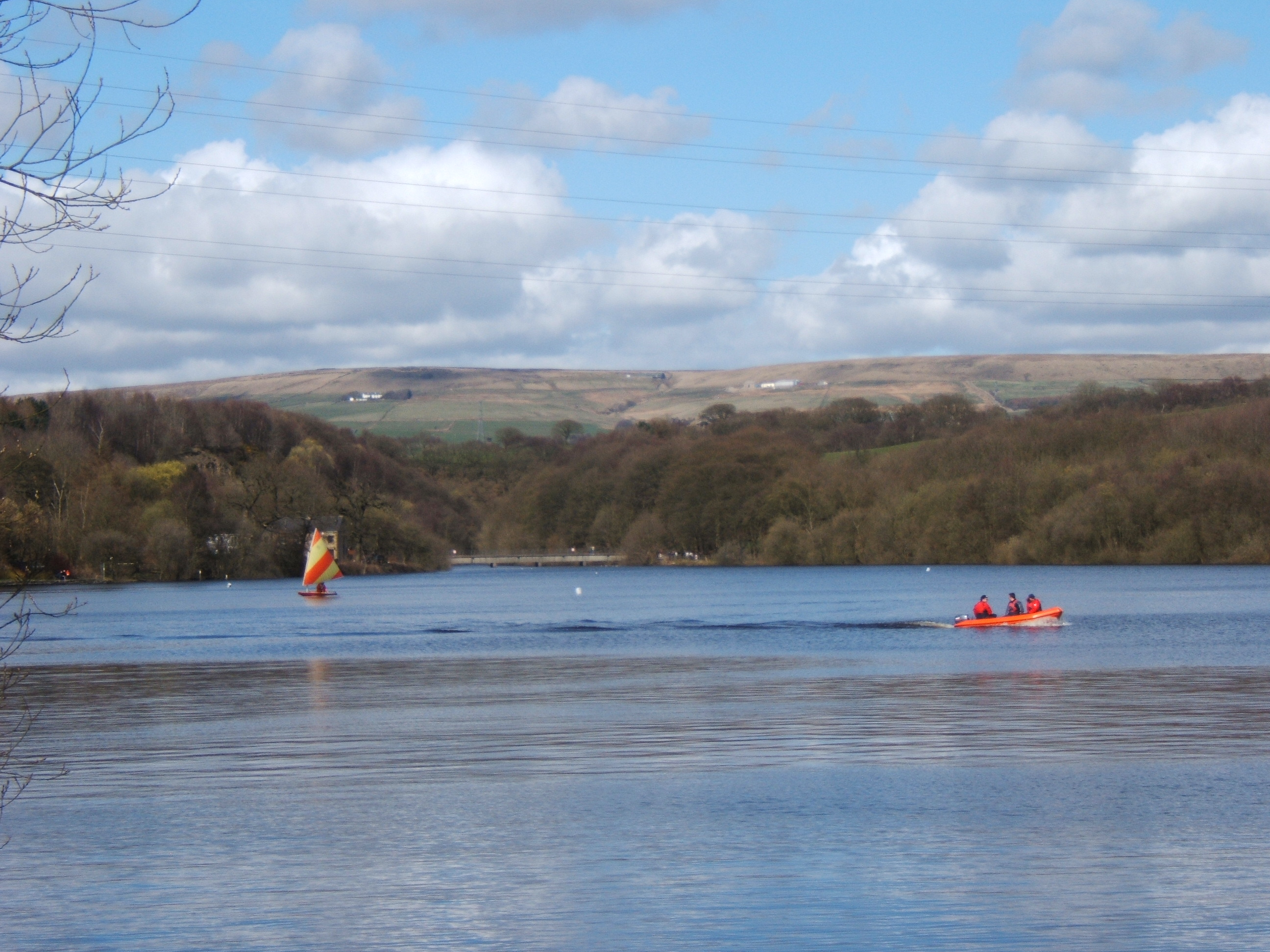 The Jumbles Reservoir | |
| Location | |
| Country | England |
| Physical characteristics | |
| Source | |
| • location | Lancashire |
| Mouth | |
• location | River Tonge, Bolton |
• coordinates | 53°34′25.42″N 2°24′17.14″W |
Starting life as Cadshaw Brook draining a valley named Green Lowe Clough on Turton Moor, the brook feeds the Turton and Entwistle Reservoir and Wayoh Reservoir (the latter also fed by Blackstone Brook and Whittlestone Head Brook). From there, the river traverses Turton Bottoms and passes Chapeltown before feeding Jumbles Reservoir (along with Hazelhurst Brook).
Bradshaw Brook then passes Bromley Cross and Bradshaw on its way to meet the River Tonge at Leverhulme Park east of Bolton.
Local nature reserve
Upper Bradshaw Valley local nature reserve is in the wooded valley of the Bradshaw Brook. The woodlands are native broadleaf trees and are separated by meadow areas. At the northern end is a disused quarry with pond areas. Bolton's arboretum is located at the southern end. The brook, a tributary of the River Croal, flows through the reserve from Jumbles Reservoir.[1]
Tributaries
- Riding Gate Brook (L)
- Hazelhurst Brook (R)
- Swine Yard Brook (L)
- Billy Brook (R)
- Quarlton Brook (L)
- Broadhead Brook (L)
- Wheatsheaf Brook (L)
- Whittlestone Head Brook (R)
- Naze Brook (R)
- Higher Barn Brook (L)
- Horse Hey Brook (R)
- Clough Head Brook (R)
- Simms Brook (L)
- Little Moor Brook (R)
- Cadshaw Brook
- Wilding Brook (R)
References
- Upper Bradshaw Valley, Natural England, retrieved 22 December 2016
| Rivers |  | |
|---|---|---|
| Canals | ||
| Others |
| |
Другой контент может иметь иную лицензию. Перед использованием материалов сайта WikiSort.org внимательно изучите правила лицензирования конкретных элементов наполнения сайта.
WikiSort.org - проект по пересортировке и дополнению контента Википедии