geo.wikisort.org - River
The Kano River (狩野川, Kano-gawa) is an A class river in Shizuoka Prefecture of central Japan. It is 46 kilometres (29 mi) long and has a watershed of 853 square kilometres (329 sq mi).[1]
| Kano River | |
|---|---|
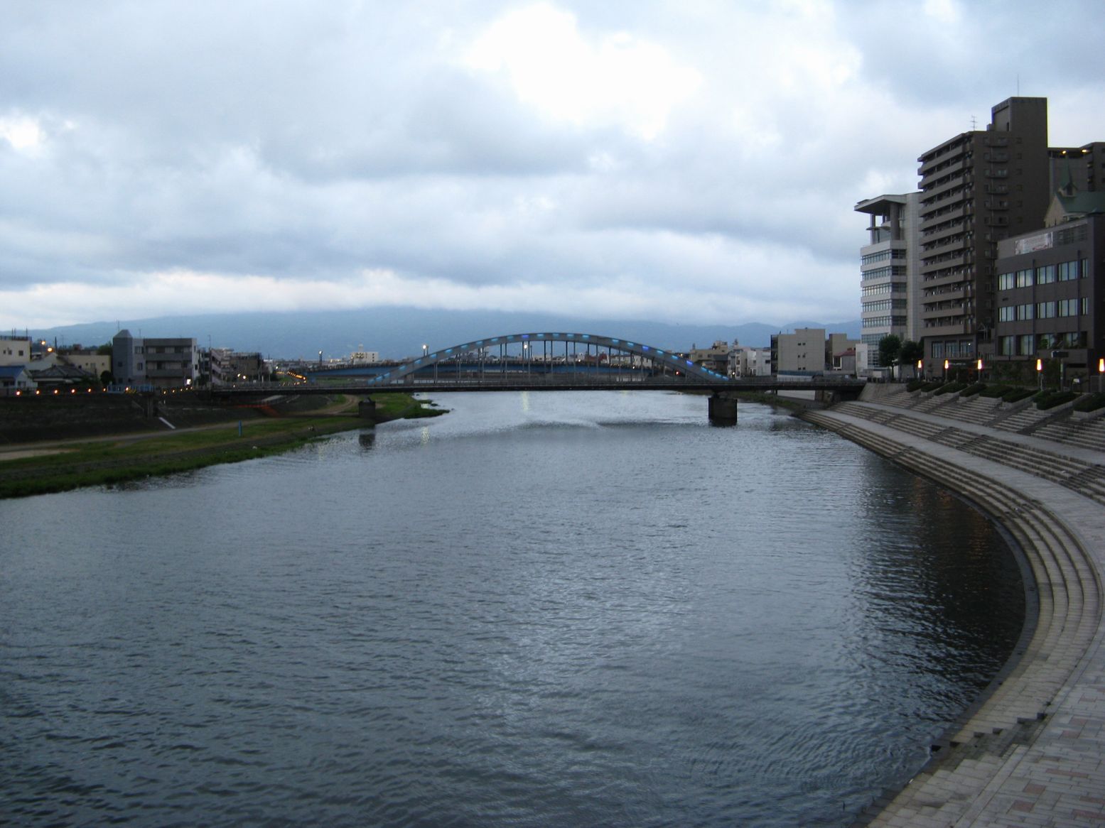 Kano River at Numazu | |
| Native name | 狩野川 (Japanese) |
| Location | |
| Country | Japan |
| Physical characteristics | |
| Source | |
| • location | Amagi Mountains |
| • elevation | 2,000 m (6,600 ft) |
| Mouth | |
• location | Suruga Bay |
• elevation | 0 m (0 ft) |
| Length | 46 km (29 mi) |
| Basin size | 853 km2 (329 sq mi) |
| Discharge | |
| • average | 17.88 m3/s (631 cu ft/s) |
The Kano River originates from Mount Amagi in central Izu Peninsula and follows a generally northern path into Suruga Bay at Numazu. The Izu Peninsula is characterized by heavy rainfall, and the Kano River has a steep gradient with rapid flow and is prone to flooding. During Typhoon Ida in September 1958, the river caused heavy damage to towns along its banks, resulting in 1269 deaths. 15 kilometres (9.3 mi) upriver from the river's mouth at Numazu, a flood diversion canal has been constructed to divert flood water into Suruga Bay. The canal is 2.9 kilometres (1.8 mi) in length with 200 metres (660 ft) and 850 metres (2,790 ft) long sets of triple tunnels.
The Jōren Falls, one of Japan's Top 100 Waterfalls is located in the upper reaches of the Kano River.[2]
External links
35°04′47″N 138°51′17″E (confluence with Ibi River)
References
- "日本の川 - 中部 - 狩野川 - 国土交通省水管理・国土保全局". www.mlit.go.jp. Retrieved 2021-10-11.
- Waterfalls of Japan. Japan: General Books LLC. 2010. ISBN 9781157672722.
| |||||||||||||||
| |||||||||||||||
| |||||||||||||||
| |||||||||||||||
| |||||||||||||||
This Shizuoka Prefecture location article is a stub. You can help Wikipedia by expanding it. |
This article related to a river in Japan is a stub. You can help Wikipedia by expanding it. |
На других языках
[de] Kano (Fluss)
Der Kano (jap. 狩野川, Kano-gawa) ist ein 46 km langer Fluss auf der japanischen Insel Honshū. Er entspringt am Vulkan Amagi, durchfließt den westlichen Teil der Izu-Halbinsel und mündet bei Numazu in die Suruga-Bucht. Dabei entwässert er ein Gebiet mit einer Größe von 852 km², was etwa 11 % der Fläche der Präfektur Shizuoka entspricht. Der Kano ist der einzige Fluss in dieser Präfektur, der in nördlicher Richtung fließt.[1]- [en] Kano River
[ru] Кано (река)
Кано (яп. 狩野川 каногава) — река в Японии на острове Хонсю. Протекает по территории префектуры Сидзуока[1].Другой контент может иметь иную лицензию. Перед использованием материалов сайта WikiSort.org внимательно изучите правила лицензирования конкретных элементов наполнения сайта.
WikiSort.org - проект по пересортировке и дополнению контента Википедии