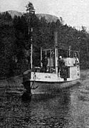
 DS Bægna on Sperillen
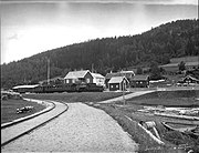 Finsand on Sperillen (1926)
 Sperillen Line (1926)
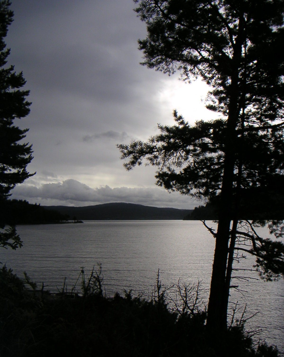
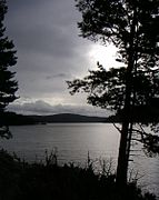 Sperillen at night
geo.wikisort.org - Reservoir
Sperillen is a lake in the valley of Ådal in Ringerike municipality, Viken county, Norway.[1]
| Sperillen | |
|---|---|
 View of Lake Sperillenin | |
 Sperillen | |
| Location | Ringerike, Viken |
| Coordinates | 60°28′N 10°03′E |
| Primary inflows | Begna, Urula |
| Basin countries | Norway |
| Surface area | 37 km2 (14 sq mi) |
| Max. depth | 108 m (354 ft) |
| Water volume | 13 km3 (11,000,000 acre⋅ft) |
| Surface elevation | 150 m (490 ft) |
The lake has an area of 37 km² and extending about 26 km in length. It is 108 meters deep at its deepest and lies at 150 meters above sea level. Two rivers from Oppland, Begna from the valley of Begnadalen and Urula from the valley of Hedalen, flow into the lake at the northern end on either side of the town of Nes in Ådal. At the southern end, Ådal river flows downstream from Sperillen. The outflow powers a hydro-electric power station at Ringmoen. European route E16 follows the east side of the lake. [1][2] [3] [4]
The name Sperillen is derived from the Old Norse Sperðill which means "tail" and may refer to the elongated form of the lake.[1] The lake is well known for its fisheries and is one of only a few in Norway with a commercial fishery.[5] Common species are whitefish, char, European perch and trout, as well as crayfish.
From 1868 to 1929, transport along the lake was principally supplied by a small steamship, DS Bægna, which ran from the terminus of the Sperillen Line at Finsand on the southern end of the lake to Nes at the northern end. DS Bægna went in service in 1868 and continued in traffic until 1929, when it was replaced with a motor ship, DS Spirillen.[6][7]
Gallery


References
- Sperillen Store Norske Leksikon, retrieved 28 March 2013 (in Norwegian)
- Ringmoen (Ringerike.no)
- Begnadalen (begnadalen.no)
- Hedalen (hedalen.no)
- Sunni Grøndahl Aamodt et al: Innlandsfisket og reiselivet Archived 2013-12-27 at the Wayback Machine Nationen, 1 December 2006 (in Norwegian)
- DS Bægna ved Hen (historieboka)
- DS Spirillen og DS Bægna (Hen Gjestgiveri)
| Authority control |
|
|---|
This Viken location article is a stub. You can help Wikipedia by expanding it. |
На других языках
[de] Sperillen
Sperillen ist ein Binnensee im Ådal in der Kommune Ringerike in der Fylke Viken. Im Norden wird der See gespeist von der Begna und der Urula. Im Süden gibt es einen Staudamm bei Ringmoen. Der Abfluss ist die Ådalselva, die mit der Randselva in Hønefoss zusammenfließt, um die Storelva zu bilden.- [en] Sperillen
[fr] Sperillen
Sperillen est un lac de Norvège situé à Ådal, dans la municipalité de Ringerike (Comté de Buskerud). Le lac a une superficie de 37 km2, et une profondeur maximale de 108 mètres. Il est situé à 150 mètres au-dessus du niveau de la mer[1].[ru] Спериллен
Спериллен[2] (норв. Sperillen) — озеро в Норвегии[1]. Имя происходит от нордического «Sperðill», что означает «хвост».[источник не указан 1306 дней]Текст в блоке "Читать" взят с сайта "Википедия" и доступен по лицензии Creative Commons Attribution-ShareAlike; в отдельных случаях могут действовать дополнительные условия.
Другой контент может иметь иную лицензию. Перед использованием материалов сайта WikiSort.org внимательно изучите правила лицензирования конкретных элементов наполнения сайта.
Другой контент может иметь иную лицензию. Перед использованием материалов сайта WikiSort.org внимательно изучите правила лицензирования конкретных элементов наполнения сайта.
2019-2026
WikiSort.org - проект по пересортировке и дополнению контента Википедии
WikiSort.org - проект по пересортировке и дополнению контента Википедии