geo.wikisort.org - Reservoir
Randsfjorden is Norway's fourth-largest lake with an area of 140.7 km2 (54.3 sq mi). Its volume is estimated at just over 7 km3 (1.7 cu mi), and its greatest depth is 131 m (430 ft). The lake is located at an elevation of 135 m (443 ft) above sea level. It is located in Innlandet and Viken counties in the municipalities of Gran, Jevnaker, Nordre Land, and Søndre Land in the districts of Land and Hadeland. It is drained by the Randselva river.
| Randsfjorden | |
|---|---|
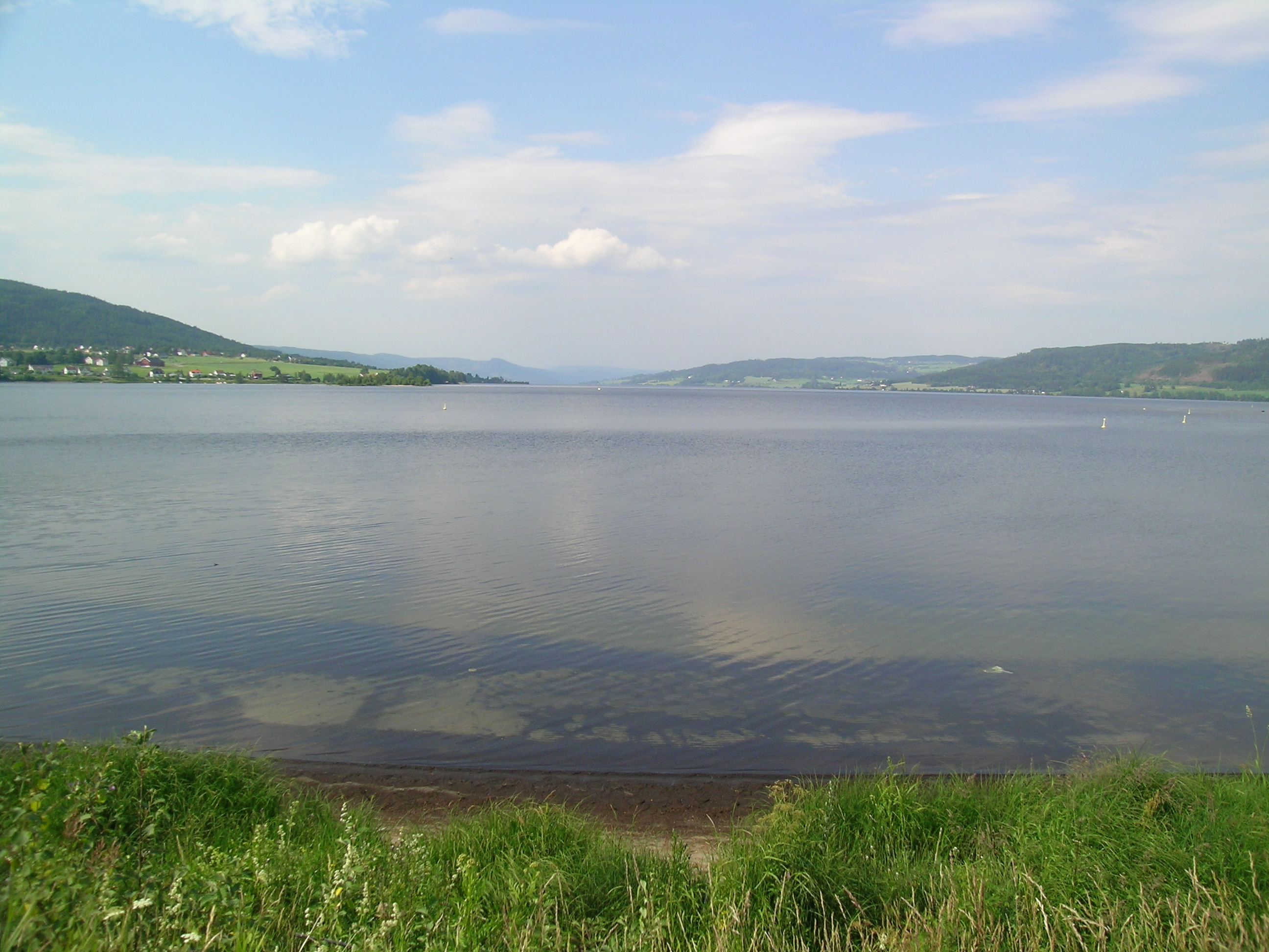
 Looking south from Grimsrud | |
 Randsfjorden Location of the lake  Randsfjorden Randsfjorden (Viken (county))  Randsfjorden Randsfjorden (Norway) | |
 | |
| Location | Innlandet and Viken |
| Coordinates | 60°23′25″N 10°23′39″E |
| Primary inflows | Dokka and Etna |
| Primary outflows | Randselva |
| Basin countries | Norway |
| Max. length | 74.5 kilometres (46.3 mi) |
| Max. width | 4 kilometres (2.5 mi) |
| Surface area | 140.7 km2 (54.3 sq mi) |
| Max. depth | 131 metres (430 ft) |
| Water volume | 7.31 cubic kilometres (1.75 cu mi) |
| Shore length1 | 203 kilometres (126 mi) |
| Surface elevation | 135 metres (443 ft) |
| References | NVE[1] |
| 1 Shore length is not a well-defined measure. | |
In Heimskringla, Snorri Sturluson recorded that Halfdan the Black (Halvdan Svarte), father of Harald Hårfagre, the first King of Norway, journeyed over the lake while returning home from a visit to Hadeland. Traveling with a horse and sleigh while the lake was supposedly frozen, he fell through the ice and drowned.[2]
In modern times, many golf courses have been set up on the edge of the lake. The Tangen–Horn ferry runs between Horn on the east bank and Tangen on the west, which is Norway's last remaining and regularly operating car ferry connection on an inland lake. The sightseeing boat MS Kong Haud sails on the Randsfjorden from Jevnaker to Odnes.[3]
Name
The Old Norse form of the name was just Rǫnd, derived from the word rǫnd which means "stripe" or "edge" (referring to the long and narrow form of the lake). The last element -fjorden (the finite form of fjord) is a later addition to the name that was first recorded in 1691. Although the term "fjord" usually describes a saltwater inlet that is connected to the ocean, the Randsfjorden is actually a freshwater lake with a narrow shape, approximately aligned on a north–south axis.[4]
See also
- List of lakes in Norway
 Media related to Randsfjorden at Wikimedia Commons
References
- "Innsjødatabase". NVE.no (in Norwegian). Retrieved 8 October 2022.
- Claus Krag. "Halvdan Svarte". Norsk biografisk leksikon. Retrieved 1 September 2017.
- "MS Kong Haud". hadeland.no. Retrieved 1 September 2017.
- "Randsfjorden". Innovation Norway. Retrieved 1 September 2017.
This article related to a lake in Innlandet in Norway is a stub. You can help Wikipedia by expanding it. |
This article related to a lake in Viken in Norway is a stub. You can help Wikipedia by expanding it. |
На других языках
[de] Randsfjorden
Der See Randsfjorden ist der viertgrößte Binnensee Norwegens. Er liegt in den Kommunen Jevnaker, Gran, Nordre Land und Søndre Land.- [en] Randsfjorden
[fr] Randsfjorden
Randsfjorden est un lac situé dans le comté d'Oppland au sud-est de la Norvège. Avec une surface de 139 km2 c'est le quatrième plus grand lac de Norvège.[it] Randsfjorden
Il Randsfjorden (o Randsfjord, dove il suffisso -en rappresenta l'articolo determinativo in norvegese) è un lago della Norvegia e con i suoi 140 km² è il quarto lago del Paese per superficie.[ru] Раннсфьорд
Раннсфьорд[1] (норв. Randsfjorden) — четвёртое по площади озеро Норвегии[2]. Расположено в фюльке Иннландет и границах муниципальных образований Гран и Евнакер[3].Другой контент может иметь иную лицензию. Перед использованием материалов сайта WikiSort.org внимательно изучите правила лицензирования конкретных элементов наполнения сайта.
WikiSort.org - проект по пересортировке и дополнению контента Википедии