geo.wikisort.org - Reservoir
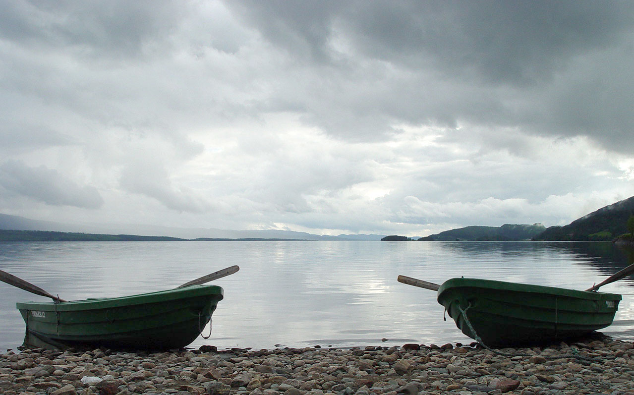
Snåsavatnet (Urban East Norwegian: [ˈsnòːsɑˌvɑtnə]; English: Lake Snåsa) is Norway's sixth-largest lake. The 122-square-kilometre (47 sq mi)[1] lake is located in the municipalities of Steinkjer and Snåsa in Trøndelag county, Norway. The villages of Følling and Sunnan lie at the southwestern end of the lake and the village of Snåsa lies at the northeastern end of the lake. European route E6 runs along the northern shore of the lake and the Nordland Line runs along the southern shore.
| Snåsavatnet | |
|---|---|
 | |
 Snåsavatnet Location of the lake  Snåsavatnet Snåsavatnet (Norway) | |
| Location | Steinkjer and Snåsa, Trøndelag |
| Coordinates | 64.1874°N 12.0249°E |
| Basin countries | Norway |
| Max. length | 40 kilometres (25 mi) |
| Max. width | 5 kilometres (3.1 mi) |
| Surface area | 122 km2 (47 sq mi) |
| Max. depth | 186 metres (610 ft) |
| Surface elevation | 24 metres (79 ft) |
| References | NVE |
The lake is approximately 40 kilometres (25 mi) long and on average about 3 kilometres (1.9 mi) wide. The surface of the lake is only 24 metres (79 ft) above sea level, and it reaches depths of up to 186 metres (610 ft). The lake was created by glacial erosion. As is seen on a map, the lake looks like an extension of the Trondheim Fjord. The outlet is the river Byaelva, which empties into the Beitstadfjorden (an arm of the Trondheim Fjord) in the city of Steinkjer.[2]
See also
- List of lakes in Norway
References
- "Statistisk årbok 2009: Geografisk oversikt" (in Norwegian). Ssb.no. Retrieved 2019-05-15.
- Rosvold, Knut A., ed. (2018-02-06). "Snåsavatnet". Store norske leksikon (in Norwegian). Kunnskapsforlaget. Retrieved 2018-04-07.
На других языках
[de] Snåsavatnet
Snåsavatnet (oder Snåsavatn) ist der Name des sechstgrößten Binnensees Norwegens und befindet sich in den Kommunen Steinkjer und Snåsa nordöstlich der Stadt Steinkjer in Trøndelag.- [en] Snåsavatnet
[it] Snåsavatnet
Il lago Snåsavatnet è un lago della Norvegia[1], tra i più importanti del Paese.[ru] Сносаватн
Сно́саватн[4][5] (норв. Snåsavatnet[1]) — проточное озеро в Норвегии[4][5]. Располагается на территории коммун Стейнхьер и Сноса[6] в фюльке Трёнделаг. Крупнейшее озеро фюльке и шестое по величине озеро в стране[1], площадью 122 км²[2][1] (по другим данным — 118 км²[3]). Уровень уреза воды находится на высоте 23 м над уровнем моря. Длина береговой линии — 152,3 км[1]. Наибольшая глубина составляет 121 м[3] (по другим данным — 186 м[1]) и достигается к северо-востоку от мыса Олнестанген в северо-восточной половине озера. Объём — 5,5 км³[3]. Площадь водосборного бассейна — 1433,55 км²[2].Другой контент может иметь иную лицензию. Перед использованием материалов сайта WikiSort.org внимательно изучите правила лицензирования конкретных элементов наполнения сайта.
WikiSort.org - проект по пересортировке и дополнению контента Википедии